


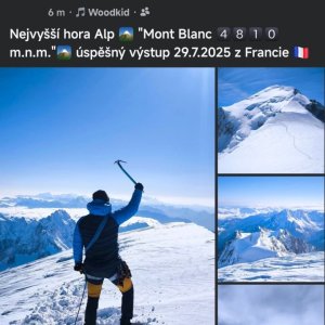

Climbing
út, 29.7.2025, 9:10
Itálie
Logged on Vrcholovka 1x in total. Vrchol Mont Blanc de Courmayeur was added here by Milan "Hojší" Průžek and info was completed by Milan "Hojší" Průžek.
Mont Blanc de Courmayeur is part of challenges: 39 quattromila italiani, Alpine Four-thousanders
Its summit marks the state border between France and Italy. It is the second highest mountain in the Alps (for a minimum prominence of 15 m). It lies about 0.5 km southeast of Mont Blanc. The mountain can be ascended from the Refuge du Goûter (3817 m a.s.l.) on the French side, or from Bivacco Giuseppe Lampugnani (3850 m a.s.l.) or Rifugio Monzino (2590 m a.s.l.) on the Italian side.
The first to reach the summit were F. Clissold, J. M. Couttet, and companions on August 20, 1822.
There is no chalet on the peak.
Peak is not stroller accessible.
There is no cable car to this peak.
Special equipment is required for this summit.
Nearest peaks: Mont Blanc (4810 m, 0.6 km) Grand Pilier d'Angle (4243 m, 0.8 km) Picco Luigi Amedeo (4460 m, 0.8 km) Aiguille Blanche de Peuterey (4112 m, 1.1 km) Mont Brouillard / Monte du Breuillat (4069 m, 1.3 km) Petite Bosse (4547 m, 1.3 km) Grande Bosse (4513 m, 1.4 km) Punta Baretti (4013 m, 1.6 km) Mont Maudit (4465 m, 2.2 km) Aiguille Noire de Peuterey (3772 m, 2.4 km) Dôme du Goûter (4304 m, 2.6 km) Aiguilles du Diable - Corne du Diable (4064 m, 3.4 km) Aiguilles du Diable - L'Isolée (4114 m, 3.4 km) Aiguilles du Diable - Pointe Carmen (4109 m, 3.4 km) Aiguilles du Diable - Pointe Chaubert (4074 m, 3.4 km) Aiguilles du Diable - Pointe Médiane (4097 m, 3.4 km) Mont Blanc du Tacul (4248 m, 3.5 km)
 Z Itálie na vrchol Evropy - Monte Bianco neboli Mont Blanc
 Alpský výstup na Pyramide du Tacul východní hranou
Výstup na Arete des Cosmiques na Aiguille du Midi
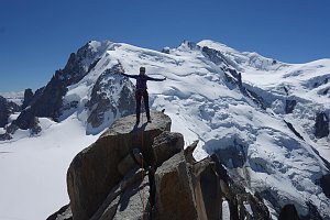 Okružní výstup na vrchol Tete de la Tronche naproti Mont Blancu
Túra za vyhlídkou a nocovištěm prvních dobyvatelů Mont Blancu
Letní Haute Route: přechod Alp z Chamonix do Zermattu

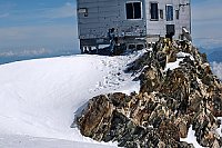

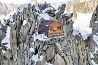
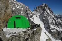
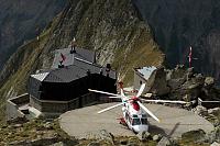
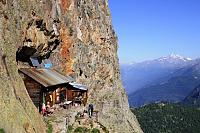
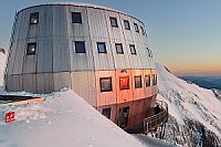
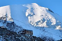
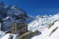
 Courmayeur › North-East: Vallot Hut - Refuge du Goûter(3815m)
 Saint-Gervais-les-Bains: Refuge du Goûter(3815m) - Mont Blanc
 Saint-Gervais-les-Bains: Refuge du Goûter(3815m) - Mont Blanc
 Saint-Gervais-les-Bains: Refuge du Goûter(3815m) - Mont Blanc
 Saint-Gervais-les-Bains › East: Refuge du Goûter(3815m) - Grand couloir
 Saint-Gervais-les-Bains: Refuge du Goûter(3815m) - Mont Blanc
 Saint-Gervais-les-Bains › North: Tête Rousse Hut
 Saint-Gervais-les-Bains › South-East: Mont Blanc
 Chamonix: Mont Blanc Aiuguille du Midi
 Casa Purtud: Chamonix bicable gondola
 Mont-Blanc from Aiguille du Midi
 Chamonix: Mont-Blanc - Aiguille du Midi panomax-hd
 Les Bossons: From Aiguille du Midi (3.800 mts) looking to East
 Chamonix: Mont-Blanc - Aguille du Midi
 Courmayeur: Colle Checrouit, Pista Checrouit
 Courmayeur: Col Checrouit
 Courmayeur: Youla
 Chamonix-Mont-Blanc › South-East

| today | tomorrow | day after tomorrow | |
|---|---|---|---|
| Dawn: | 6:53 | 6:55 | 6:56 |
| Sunrise: | 7:25 | 7:26 | 7:28 |
| Sunset: | 17:07 | 17:06 | 17:05 |
| Dusk: | 17:39 | 17:38 | 17:36 |