Wetterstein and Mieming Chain
| Highest peak | Zugspitze (2962 m a.s.l.) |
|---|---|
| Most prominent peak | Zugspitze (2962 m a.s.l., prominence 1746 m) |
| Parent unit | Northern Limestone Alps |
| Sub-units |
Wetterstein Mieming Kette |
| Main peaks | Total 81 |
| Most popular peaks | Zugspitze (2962 m a.s.l.), Alpspitze (2628 m a.s.l.), Äußere Höllentalspitze (2715 m a.s.l.), Mittlere Höllentalspitze (2740 m a.s.l.), Innere Höllentalspitze (2741 m a.s.l.) |
| Mountain range challenges | King of the Wetterstein and Mieminger Kette, Austrian Alps, Highest Geographical Points of Europe, Highest Mountains of European Countries, TOP 10 Austria, Ultraprominent Europe, Vápencové ultraperly východních Alp |

| Name | Elevation | ||||
|---|---|---|---|---|---|

|
Zugspitze | 2962 m a.s.l. | Wetterstein | 1746 m | hlavní vrchol |

|
Schneefernerkopf | 2874 m a.s.l. | Wetterstein | 180 m | hlavní vrchol |

|
Zugspitzeck | 2820 m a.s.l. | Wetterstein | 39 m | hlavní vrchol |

|
Hochplattig | 2768 m a.s.l. | Mieming Kette | 1189 m | hlavní vrchol |

|
Südliche Wetterspitze | 2746 m a.s.l. | Wetterstein | 64 m | hlavní vrchol |

|
Nördliche Wetterspitze | 2746 m a.s.l. | Wetterstein | 38 m | hlavní vrchol |

|
Hochwanner | 2744 m a.s.l. | Wetterstein | 697 m | hlavní vrchol |

|
Innere Höllentalspitze | 2741 m a.s.l. | Wetterstein | 154 m | hlavní vrchol |

|
Mittlere Höllentalspitze | 2740 m a.s.l. | Wetterstein | 112 m | hlavní vrchol |

|
Äußere Höllentalspitze | 2715 m a.s.l. | Wetterstein | 49 m | hlavní vrchol |

|
Östliche Wetterspitze | 2709 m a.s.l. | Wetterstein | 38 m | hlavní vrchol |

|
Hochblassen | 2706 m a.s.l. | Wetterstein | 159 m | hlavní vrchol |
|
|
Wetterwandeck | 2698 m a.s.l. | Wetterstein | 42 m | hlavní vrchol |

|
Leutascher Dreitorspitze | 2682 m a.s.l. | Wetterstein | 359 m | hlavní vrchol |
|
|
Östliche Plattspitze | 2680 m a.s.l. | Wetterstein | 219 m | hlavní vrchol |
|
|
Mittlere Plattspitze | 2680 m a.s.l. | Wetterstein | 47 m | hlavní vrchol |
|
|
Westliche Plattspitze | 2680 m a.s.l. | Wetterstein | 37 m | hlavní vrchol |
|
|
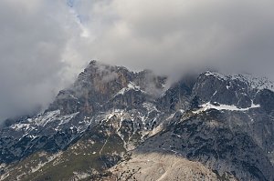
Hinterreintalschrofen | 2670 m a.s.l. | Wetterstein | 130 m | hlavní vrchol |
|
Hohe Munde Westgipfel | 2662 m a.s.l. | Mieming Kette | 603 m | hlavní vrchol |

|
Teufelsgrat | 2648 m a.s.l. | Wetterstein | 47 m | hlavní vrchol |
|
|
Partenkirchner Dreitorspitze Z | 2633 m a.s.l. | Wetterstein | 77 m | hlavní vrchol |

|
Vollkarspitze | 2630 m a.s.l. | Wetterstein | 34 m | hlavní vrchol |

|
Alpspitze | 2628 m a.s.l. | Wetterstein | 188 m | hlavní vrchol |
|
|
Blassenkopf | 2628 m a.s.l. | Wetterstein | 16 m | hlavní vrchol |
|
|
Partenkirchner Dreitorspitze SV | 2626 m a.s.l. | Wetterstein | 71 m | hlavní vrchol |
|
|
Partenkirchner Dreitorspitze | 2626 m a.s.l. | Wetterstein | 35 m | hlavní vrchol |

|
Oberer Hundstallkopf | 2586 m a.s.l. | Wetterstein | 55 m | hlavní vrchol |

|
Großer Hundstallkopf | 2559 m a.s.l. | Wetterstein | 26 m | hlavní vrchol |
|
|
Schüsselkarspitze | 2553 m a.s.l. | Wetterstein | 70 m | hlavní vrchol |

|
Kleiner Wanner | 2548 m a.s.l. | Wetterstein | 92 m | hlavní vrchol |
|
|
Oberreintalschrofen | 2523 m a.s.l. | Wetterstein | 139 m | hlavní vrchol |
|
|
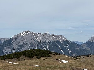
Bayerländerturm | 2507 m a.s.l. | Wetterstein | 48 m | hlavní vrchol |
|
Wannig | 2493 m a.s.l. | Mieming Kette | 703 m | hlavní vrchol |
|
|
Westlicher Gatterlkopf | 2489 m a.s.l. | Wetterstein | 67 m | hlavní vrchol |
|
|
Signalkuppe | 2486 m a.s.l. | Wetterstein | 29 m | hlavní vrchol |
|
|
Wettersteinwand | 2482 m a.s.l. | Wetterstein | 253 m | hlavní vrchol |
|
|
Musterstein | 2478 m a.s.l. | Wetterstein | 110 m | hlavní vrchol |
|
|
Östlicher Gatterlkopf | 2475 m a.s.l. | Wetterstein | 77 m | hlavní vrchol |
|
|
Östliche Törlspitze | 2475 m a.s.l. | Wetterstein | 74 m | hlavní vrchol |

|
Karkopf | 2469 m a.s.l. | Mieming Kette | 80 m | hlavní vrchol |
|
|
Scharnitzspitze | 2468 m a.s.l. | Wetterstein | 127 m | hlavní vrchol |
|
|
Vorderer Tajakopf | 2450 m a.s.l. | Mieming Kette | 190 m | hlavní vrchol |
|
|
Teufelskopf | 2440 m a.s.l. | Wetterstein | 36 m | hlavní vrchol |
|
|
Wettersteinkopf | 2433 m a.s.l. | Wetterstein | 61 m | hlavní vrchol |
|
|
Westliche Törlspitze | 2427 m a.s.l. | Wetterstein | 41 m | hlavní vrchol |
|
|
Blassenspitze | 2420 m a.s.l. | Wetterstein | 72 m | hlavní vrchol |
|
|
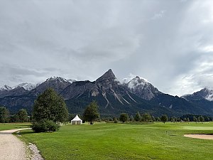
Sonnenspitze | 2417 m a.s.l. | Mieming Kette | 418 m | hlavní vrchol |
|
Sonnenspitze | 2417 m a.s.l. | Mieming Kette | 417 m | hlavní vrchol |
|
|
Hinterer Tajakopf | 2408 m a.s.l. | Mieming Kette | 133 m | hlavní vrchol |
|
|
Rotplattenspitze | 2399 m a.s.l. | Wetterstein | 33 m | hlavní vrchol |
|
|
Hoher Kamm | 2375 m a.s.l. | Wetterstein | 70 m | hlavní vrchol |

|
Tschirgant | 2372 m a.s.l. | Mieming Kette | 1269 m | hlavní vrchol |

|
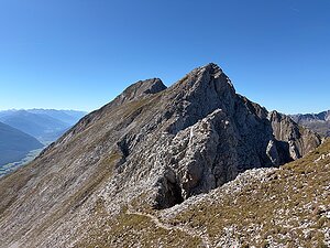
Gehrenspitze | 2367 m a.s.l. | Wetterstein | 322 m | hlavní vrchol |
|
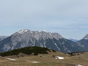
Wannig V3 | 2349 m a.s.l. | Mieming Kette | 42 m | hlavní vrchol |
|
Handschuhspitze | 2319 m a.s.l. | Mieming Kette | 24 m | hlavní vrchol |
|
|
Drei Scharten | 2304 m a.s.l. | Wetterstein | 52 m | hlavní vrchol |
|
|
Vorderer Drachenkopf | 2303 m a.s.l. | Mieming Kette | 102 m | hlavní vrchol |
|
|
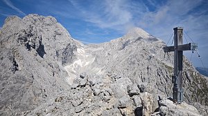
Obere Wettersteinspitze | 2297 m a.s.l. | Wetterstein | 58 m | hlavní vrchol |
|
Hoher Gaif | 2288 m a.s.l. | Wetterstein | 117 m | hlavní vrchol |
|
|
Hirschbichlkopf | 2276 m a.s.l. | Wetterstein | 45 m | hlavní vrchol |
|
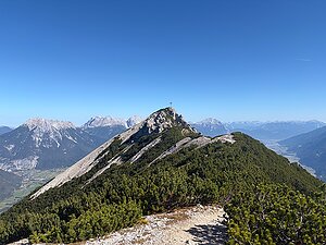
Zwölferkopf | 2232 m a.s.l. | Mieming Kette | 27 m | hlavní vrchol |
|
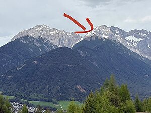
Wankspitze | 2216 m a.s.l. | Mieming Kette | 180 m | hlavní vrchol |

|
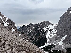
Große Arnspitze | 2196 m a.s.l. | Wetterstein | 1007 m | hlavní vrchol |
|
Höllkopf | 2194 m a.s.l. | Mieming Kette | 69 m | hlavní vrchol |
|
|
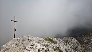
Untere Wettersteinspitze | 2152 m a.s.l. | Wetterstein | 33 m | hlavní vrchol |
|
Höllentorkopf | 2150 m a.s.l. | Wetterstein | 63 m | hlavní vrchol |

|
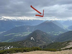
Bernadeinkopf | 2144 m a.s.l. | Wetterstein | 40 m | hlavní vrchol |
|
Simmering | 2096 m a.s.l. | Mieming Kette | 309 m | hlavní vrchol |
|
|
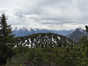
Osterfelderkopf | 2057 m a.s.l. | Wetterstein | 15 m | hlavní vrchol |
|
Zunterkopf | 2028 m a.s.l. | Mieming Kette | 42 m | hlavní vrchol |
|
|
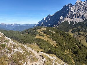
Aschenköpfe | 1973 m a.s.l. | Wetterstein | 20 m | hlavní vrchol |
|
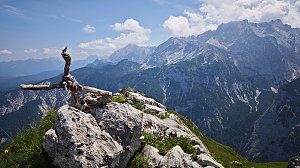
Unterer Schafkopf | 1947 m a.s.l. | Mieming Kette | 19 m | hlavní vrchol |
|
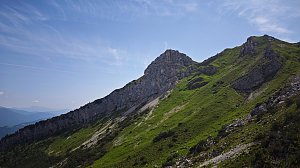
Stuibenkopf | 1924 m a.s.l. | Wetterstein | 43 m | hlavní vrchol |
|
Stuibenspitze | 1908 m a.s.l. | Wetterstein | 34 m | hlavní vrchol |

|
Zwirchkopf | 1769 m a.s.l. | Wetterstein | 7 m | vedlejší vrchol |
|
|
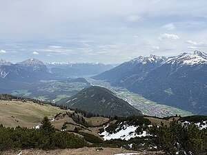
Grünkopf | 1587 m a.s.l. | Wetterstein | 131 m | hlavní vrchol |
|
Grünberg | 1498 m a.s.l. | Mieming Kette | 180 m | hlavní vrchol |
|
|
Hoher Kranzberg | 1391 m a.s.l. | Wetterstein | 304 m | hlavní vrchol |
|
|
Eckbauer | 1237 m a.s.l. | Wetterstein | 64 m | hlavní vrchol |
|
|
Burgberg | 1194 m a.s.l. | Wetterstein | 51 m | hlavní vrchol |
|
Sigmundsburg Tomahügel | 997 m a.s.l. | Mieming Kette | 63 m | hlavní vrchol |

|
Katzenstein | 871 m a.s.l. | Wetterstein | 47 m | hlavní vrchol |