




Climbing
so, 12.9.2026, 0:00
 Rakousko
Logged on Vrcholovka 2x in total. Vrchol Sonnenspitze was added here by Horymír and info was completed by Horymír a Jan Blažej.
Sonnenspitze is part of challenge: King of the Wetterstein and Mieminger Kette
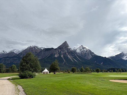
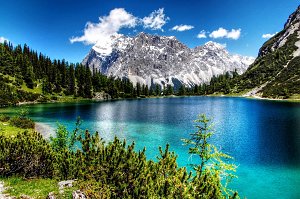
A stunning mountain towering over the town of Ehrwald. Its pointed summit, sometimes referred to as the false Matterhorn, catches the eye at first glance. The area is home to several via ferratas and beautiful lakes. Although it lies "in the shadow" of Zugspitze, it remains a popular peak. However, the ascent is not for everyone. Despite being frequently visited, there is no marked trail; those who wish to conquer it must show some skill and courage. The view from the top is breathtaking in all directions. There are also several climbing routes, and a summit cross and logbook are a given.
There is no chalet on the peak.
Peak is not stroller accessible.
Southwest part of the Zugspitze massif, Daniel (the highest peak of the Ammergau Alps), towns around Ehrwald, lakes, and other surrounding massifs
There is no cable car to this peak.
Can be done without, but a helmet is recommended
Peak is freely accessible.
Nearest peaks: Sonnenspitze (2417 m, 0.1 km) Vorderer Drachenkopf (2303 m, 1.2 km) Vorderer Tajakopf (2450 m, 2 km) Hinterer Tajakopf (2408 m, 2.2 km) Höllkopf (2194 m, 3 km) Unterer Schafkopf (1947 m, 3.3 km) Wankspitze (2216 m, 3.5 km)
 Výstup na Zugspitze z rakouské strany
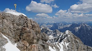 Výstup na Zugspitze feratou Höllental
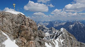 Hřebenový přechod Zugspitze – Alpspitze (Jubiläusgratweg)
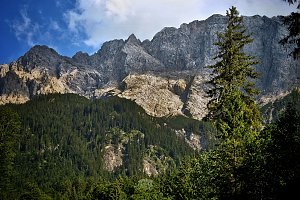 Výstup na Zugspitze oklikou přes Reintalangerhütte
 Gemeinde Biberwier: Biberwier, Marienberg - Talstation Marienberg
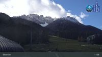 Gemeinde Biberwier: Biberwier, Marienberg - Mittelstation Biberwier
 Gemeinde Biberwier: Biberwier, Marienberg - DSB Berg Biberwier
 Gemeinde Ehrwald: Wettersteinbahnen Ehrwald
 Gemeinde Ehrwald: Ehrwald, Zugspitze - Ehrwalder Alm
 Gemeinde Ehrwald: Ehrwald - Almbahn
 Gemeinde Ehrwald: Ehrwald - Sonnenhangbahn Bergstation
 Gemeinde Ehrwald: Ehrwalder Wettersteinbahnen - Sonnenhangbahn Bergstation
 Gemeinde Lermoos: Ehrwald-Lermoos - Golfclub Zugspitze
 Gemeinde Ehrwald: Ehrwald, Zugspitze - Tiroler Zugspitze Golf-Anlage
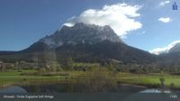 Gemeinde Ehrwald: Ehrwald, Zugspitze - Tiroler Zugspitze Golf-Anlage
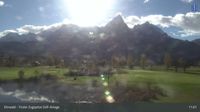 Gemeinde Ehrwald: Ehrwald, Zugspitze - Tiroler Zugspitze Golf-Anlage
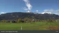 Grainau: Ehrwald, Zugspitze - Tiroler Zugspitze Golf-Anlage
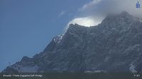 Gemeinde Ehrwald: Ehrwald, Zugspitze - Tiroler Zugspitze Golf-Anlage
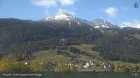 Lermoos › East: Bergbahnen Langes Lermoos/Biberwier - Ehrwald - Ehrwald Zugspitzbahn - Zugspitze
 Lermoos › South-West: Tirol, Österreich
 Gemeinde Lermoos: Lermoos - Hotel Post
 Gemeinde Lermoos: Lermoos, Grubigstein - Familyjet Tal
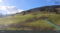 Ehrwald
 Gemeinde Lermoos: Lermoos, Grubigstein - Hochmoos Express Berg
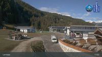 Gemeinde Ehrwald: Ehrwalder Wettersteinbahnen - Racing-S-Wettersteinabfahrt-Bärengrubenabfahrt
 Gemeinde Lermoos: Lermoos, Grubigstein - Grubig Alm
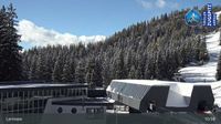 Gemeinde Ehrwald › East: Zugspitze
 Gemeinde Ehrwald: Ehrwalder Wettersteinbahnen - Weißlähn
 Gemeinde Ehrwald: Ehrwald - Weißlähn
 Ehrwald: Wettersteinbahnen
 Gemeinde Ehrwald: Wettersteinbahnen Ehrwald
 Gemeinde Ehrwald: Ehrwald, Zugspitzbahn Talstation
 Garmisch-Partenkirchen: Sonnalpin - Gletscher-Skigebiet Zugspitze - Blick zum Schneefernerkopf

| today | tomorrow | day after tomorrow | |
|---|---|---|---|
| Dawn: | 7:15 | 7:16 | 6:17 |
| Sunrise: | 7:46 | 7:47 | 6:49 |
| Sunset: | 18:14 | 18:13 | 17:11 |
| Dusk: | 18:46 | 18:44 | 17:42 |

