Mieming Kette
| Highest peak | Hochplattig (2768 m a.s.l.) |
|---|---|
| Most prominent peak | Tschirgant (2372 m a.s.l., prominence 1269 m) |
| Parent unit | Wetterstein and Mieming Chain |
| Main peaks | Total 20 |
| Most popular peaks | Handschuhspitze (2319 m a.s.l.), Sonnenspitze (2417 m a.s.l.), Karkopf (2469 m a.s.l.), Sonnenspitze (2417 m a.s.l.), Simmering (2096 m a.s.l.) |
| Mountain range challenges | King of the Wetterstein and Mieminger Kette, Vápencové ultraperly východních Alp |

| Name | Elevation | ||||
|---|---|---|---|---|---|

|
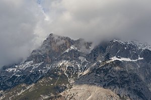
Hochplattig | 2768 m a.s.l. | Mieming Kette | 1189 m | hlavní vrchol |
|
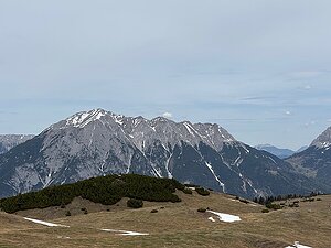
Hohe Munde Westgipfel | 2662 m a.s.l. | Mieming Kette | 603 m | hlavní vrchol |
|
Wannig | 2493 m a.s.l. | Mieming Kette | 703 m | hlavní vrchol |

|
Karkopf | 2469 m a.s.l. | Mieming Kette | 80 m | hlavní vrchol |

|
Vorderer Tajakopf | 2450 m a.s.l. | Mieming Kette | 190 m | hlavní vrchol |

|
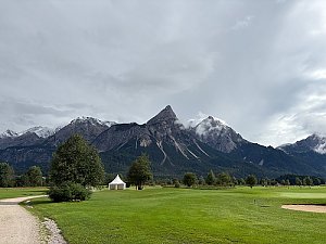
Sonnenspitze | 2417 m a.s.l. | Mieming Kette | 418 m | hlavní vrchol |
|
Sonnenspitze | 2417 m a.s.l. | Mieming Kette | 417 m | hlavní vrchol |

|
Hinterer Tajakopf | 2408 m a.s.l. | Mieming Kette | 133 m | hlavní vrchol |

|
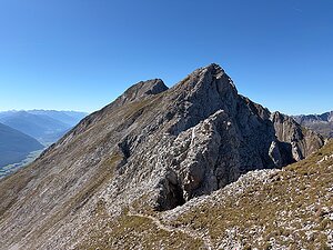
Tschirgant | 2372 m a.s.l. | Mieming Kette | 1269 m | hlavní vrchol |
|
Wannig V3 | 2349 m a.s.l. | Mieming Kette | 42 m | hlavní vrchol |
|
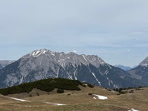
Handschuhspitze | 2319 m a.s.l. | Mieming Kette | 24 m | hlavní vrchol |
|
|
Vorderer Drachenkopf | 2303 m a.s.l. | Mieming Kette | 102 m | hlavní vrchol |
|
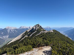
Zwölferkopf | 2232 m a.s.l. | Mieming Kette | 27 m | hlavní vrchol |
|
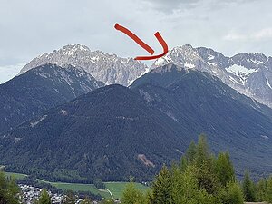
Wankspitze | 2216 m a.s.l. | Mieming Kette | 180 m | hlavní vrchol |
|
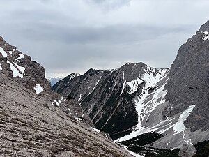
Höllkopf | 2194 m a.s.l. | Mieming Kette | 69 m | hlavní vrchol |
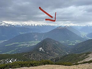
|
Simmering | 2096 m a.s.l. | Mieming Kette | 309 m | hlavní vrchol |
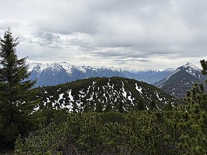
|
Zunterkopf | 2028 m a.s.l. | Mieming Kette | 42 m | hlavní vrchol |
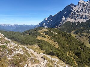
|
Unterer Schafkopf | 1947 m a.s.l. | Mieming Kette | 19 m | hlavní vrchol |
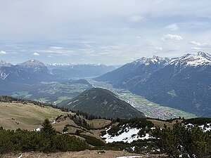
|
Grünberg | 1498 m a.s.l. | Mieming Kette | 180 m | hlavní vrchol |
|
Sigmundsburg Tomahügel | 997 m a.s.l. | Mieming Kette | 63 m | hlavní vrchol |