



Hiking
ne, 27.9.2026, 11:31
 Rakousko
Logged on Vrcholovka 1x in total. Vrchol Unterer Schafkopf was added here by Horymír and info was completed by Horymír.
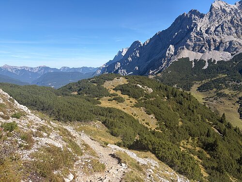
A lower summit on the way to Handschuhspitze (Wannig), located still in the shrub zone, accessible from the southwest, otherwise covered with pines.
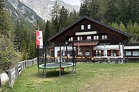
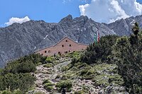
There are several huts located lower in the area.
Peak is not stroller accessible.
There are views from the peak.
There is no cable car to this peak.
No special equipment is required for this summit.
Peak is freely accessible.
Nearest peaks: Handschuhspitze (2319 m, 1 km) Wannig V3 (2349 m, 1.4 km) Höllkopf (2194 m, 2 km) Sonnenspitze (2417 m, 3.2 km) Sonnenspitze (2417 m, 3.3 km)
 Výstup na Zugspitze z rakouské strany
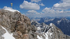 Výstup na Zugspitze feratou Höllental
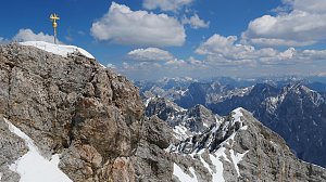 Hřebenový přechod Zugspitze – Alpspitze (Jubiläusgratweg)
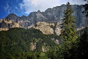
 Gemeinde Biberwier: Biberwier, Marienberg - Mittelstation Biberwier
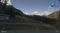 Gemeinde Biberwier: Biberwier, Marienberg - Talstation Marienberg
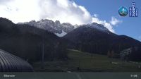 Ehrwald: Seebensee
 Gemeinde Lermoos: Lermoos, Grubigstein - Grubig Alm
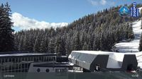 Gemeinde Lermoos: Lermoos, Grubigstein - Hochmoos Express Berg
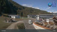 Gemeinde Nassereith: Nassereith - Jörgenbichl
 Gemeinde Lermoos: Lermoos, Grubigstein - Grubigstein
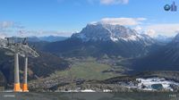 Lermoos › East: Bergbahnen Langes Lermoos/Biberwier - Ehrwald - Ehrwald Zugspitzbahn - Zugspitze
 Lermoos › South-West: Tirol, Österreich
 Gemeinde Lermoos: Lermoos - Hotel Post
 Gemeinde Lermoos: Lermoos, Grubigstein - Familyjet Tal
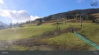 Lermoos: Wolfratshauser Hütte
 Gemeinde Lermoos: Ehrwald-Lermoos - Golfclub Zugspitze
 Gemeinde Ehrwald: Ehrwald, Zugspitze - Tiroler Zugspitze Golf-Anlage
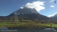 Gemeinde Ehrwald: Ehrwald, Zugspitze - Tiroler Zugspitze Golf-Anlage
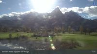 Gemeinde Ehrwald: Ehrwald, Zugspitze - Tiroler Zugspitze Golf-Anlage
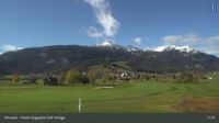 Grainau: Ehrwald, Zugspitze - Tiroler Zugspitze Golf-Anlage
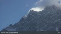 Gemeinde Ehrwald: Ehrwald, Zugspitze - Tiroler Zugspitze Golf-Anlage
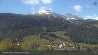 Gemeinde Ehrwald: Wettersteinbahnen Ehrwald
 Gemeinde Ehrwald: Ehrwald - Sonnenhangbahn Bergstation
 Gemeinde Ehrwald: Ehrwalder Wettersteinbahnen - Sonnenhangbahn Bergstation

| today | tomorrow | day after tomorrow | |
|---|---|---|---|
| Dawn: | 7:16 | 6:18 | 6:19 |
| Sunrise: | 7:47 | 6:49 | 6:50 |
| Sunset: | 18:13 | 17:11 | 17:09 |
| Dusk: | 18:44 | 17:42 | 17:41 |