
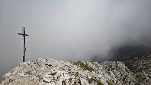



Via ferrata, 13 km
20.6.2025
 Německo
Logged on Vrcholovka 2x in total. Vrchol Höllentorkopf was added here by Martin Suchopár and info was completed by Jan Blažej.
Help others and .
There is no chalet on the peak.
Peak is not stroller accessible.
There are views from the peak.
There is no cable car to this peak.
No special equipment is required for this summit.
Peak is freely accessible.
Nearest peaks: Osterfelderkopf (2057 m, 0.2 km) Aschenköpfe (1973 m, 0.7 km) Alpspitze (2628 m, 1 km) Bernadeinkopf (2144 m, 1.3 km) Hochblassen (2706 m, 1.8 km) Blassenspitze (2420 m, 1.9 km) Blassenkopf (2628 m, 2 km) Hoher Gaif (2288 m, 2.1 km) Vollkarspitze (2630 m, 2.1 km) Äußere Höllentalspitze (2715 m, 2.4 km) Mittlere Höllentalspitze (2740 m, 2.8 km)
 Túra soutěskou Höllentalklamm ve čtyřech ročních obdobích
 Výstup na Zugspitze oklikou přes Reintalangerhütte
 Výstup na Zugspitze feratou Höllental
 Hřebenový přechod Zugspitze – Alpspitze (Jubiläusgratweg)
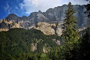 Výstup na Zugspitze z rakouské strany
Výstup na Hohe Munde (2662 m) v pohoří Wetterstein
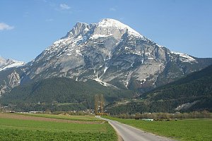
 Garmisch-Partenkirchen: Alpspitze
 Hammersbach: Kreuzeck Bergstation - Garmisch-Classic - Blick zur Alpspitze und Zugspitze
 Hammersbach: Kandahar-Express am Kreuzjoch - Garmisch-Classic - Blick nach Nordosten
 Hammersbach
 Grainau: Dorf - Grosser und kleiner Waxenstein
 Garmisch-Partenkirchen: Hausberg - Garmisch-Classic - Blick nach Südwesten
 Grainau: Bayerische Zugspitzbahn - Seilbahn Zugspitze - Talstation
 Grainau: Seilbahn Zugspitze - Weltrekord-Stütze - Blick über den Eibsee nach Norden
 Grainau › South: Zugspitze
 Grainau: Garmisch - Partenkirchen
 Grainau: Eibsee-Hotel - Blick nach Südwesten zur Zugspitze
 Garmisch-Partenkirchen
 Gemeinde Leutasch: Seefeld - Leutasch Rotmoos
 Partenkirchen: Garmisch
 Garmisch-Partenkirchen: Richard-Strauss-Platz
 Garmisch-Partenkirchen: Rathaus
 Gemeinde Mieming: Ehrwald, Zugspitze - Feldernalm
 Gemeinde Mieming: Ehrwald, Zugspitze - Feldernalm
 Gemeinde Mieming: Ehrwald, Zugspitze - Feldernalm
 Gemeinde Ehrwald: Ehrwald, Zugspitze - Feldernalm

| today | tomorrow | day after tomorrow | |
|---|---|---|---|
| Dawn: | 6:20 | 6:21 | 6:23 |
| Sunrise: | 6:51 | 6:53 | 6:54 |
| Sunset: | 17:07 | 17:05 | 17:04 |
| Dusk: | 17:38 | 17:37 | 17:35 |


