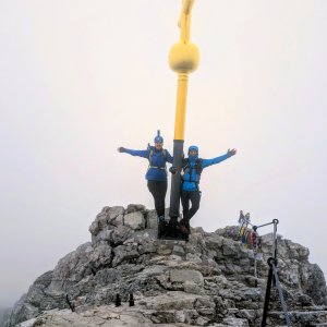

Hiking, 7 km
20.7.2026
 Německo
Logged on Vrcholovka 77x in total. Peak information here was completed by Honza, PA!WELL, Martin Matějka, Horymír a Jan Blažej.
Zugspitze is part of challenges: King of the Wetterstein and Mieminger Kette, Austrian Alps, Highest Geographical Points of Europe, Highest Mountains of European Countries, TOP 10 Austria, Ultraprominent Europe, Vápencové ultraperly východních Alp
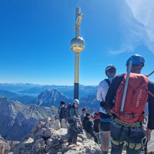
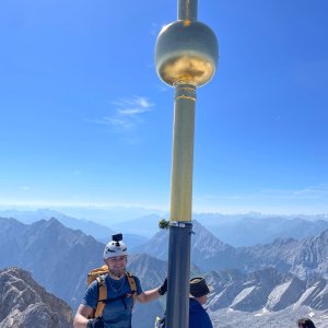
The highest mountain in Germany, located on the border between Germany and Austria. The name comes not from the word Zug - train (which is quite tempting due to the train stations :)) but from the word Züge - steep rock gully. A popular and heavily visited peak with several viewpoints on both the German and Austrian sides, where there is also an exhibition of "snow crystals" - flakes, describing the types and formation process, with life-size models. Both countries offer refreshments, public restrooms, and souvenir shops. On the Austrian side, you can see the remnants of an old cable car. On the German side, you can descend/ski to the Schneeferner glacier.
There is a chalet on the peak.
This peak is accessible with a stroller.
Daniel summit, Eibsee lake, and the two largest German glaciers Höllentalferner and Schneeferner (the largest) - there is also a cable car from the summit and a train station.
Cable cars for larger groups of people from both the German and Austrian sides, both allowing barrier-free access.
via ferrata equipment required for the ascent via Höllentalsteig (C)
Peak is freely accessible.
Nearest peaks: Zugspitzeck (2820 m, 1.1 km) Schneefernerkopf (2874 m, 1.8 km) Innere Höllentalspitze (2741 m, 1.9 km) Nördliche Wetterspitze (2746 m, 2.3 km) Östliche Wetterspitze (2709 m, 2.6 km) Südliche Wetterspitze (2746 m, 2.6 km) Wetterwandeck (2698 m, 2.7 km) Mittlere Plattspitze (2680 m, 2.8 km) Östliche Plattspitze (2680 m, 2.8 km) Westliche Plattspitze (2680 m, 2.8 km) Westlicher Gatterlkopf (2489 m, 3.1 km) Östlicher Gatterlkopf (2475 m, 3.3 km)
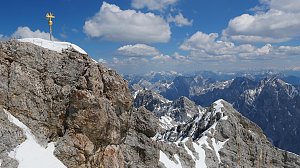 Hřebenový přechod Zugspitze – Alpspitze (Jubiläusgratweg)
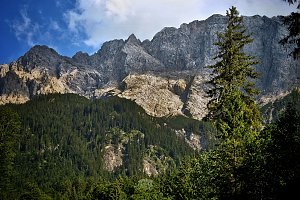 Výstup na Zugspitze z rakouské strany
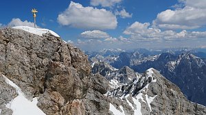 Výstup na Zugspitze oklikou přes Reintalangerhütte
Výstup na pyramidovou horu Alpspitze v Bavorsku
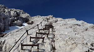 Túra soutěskou Höllentalklamm ve čtyřech ročních obdobích
 Túra za jezery do kotle Ehrwalder Kessel (2302 m) v pohoří Wetterstein
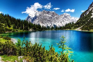 Výstup na Hohe Munde (2662 m) v pohoří Wetterstein
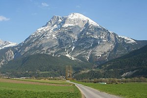
 Grainau: Bayerische Zugspitzbahn - Blick über das Höllental nach Osten
 Grainau: Zugspitze Garmisch-Partenkirchen
 Grainau: Bayerische Zugspitzbahn - Blick vom Gipfel nach Norden
 Grainau: Wetterwarte Zugspitze - Blick über das Zugspitzplatt nach Süden
 Grainau: Seilbahn Zugspitze - Blick zum Gipfel von Westen
 Grainau: Wetterwarte Zugspitze - Blick über den Gipfel nach Osten
 Gemeinde Ehrwald: Ehrwald, Zugspitze - Tiroler Zugspitzbahn Bergstation
 Gemeinde Ehrwald: Ehrwald, Zugspitze - Tiroler Zugspitzbahn Bergstation
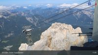 Gemeinde Ehrwald: Ehrwald, Zugspitze - Tiroler Zugspitzbahn Bergstation
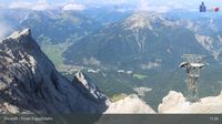 Grainau: Ehrwald, Zugspitze - Tiroler Zugspitzbahn Bergstation
 Garmisch-Partenkirchen: Sonnalpin - Gletscher-Skigebiet Zugspitze - Blick zum Schneefernerkopf
 Grainau: Seilbahn Zugspitze - Weltrekord-Stütze - Blick über den Eibsee nach Norden
 Ehrwald
 Gemeinde Ehrwald: Ehrwalder Wettersteinbahnen - Weißlähn
 Gemeinde Ehrwald: Ehrwalder Wettersteinbahnen - Racing-S-Wettersteinabfahrt-Bärengrubenabfahrt
 Gemeinde Ehrwald: Ehrwald - Weißlähn
 Gemeinde Ehrwald: Ehrwald, Zugspitzbahn Talstation
 Ehrwald: Wettersteinbahnen
 Gemeinde Ehrwald: Wettersteinbahnen Ehrwald
 Grainau: Bayerische Zugspitzbahn - Seilbahn Zugspitze - Talstation
 Gemeinde Ehrwald: Ehrwald - Sonnenhangbahn Bergstation
 Gemeinde Ehrwald: Ehrwalder Wettersteinbahnen - Sonnenhangbahn Bergstation
 Grainau: Eibsee-Hotel - Blick nach Südwesten zur Zugspitze
 Gemeinde Ehrwald: Ehrwald, Zugspitze - Ehrwalder Alm
 Gemeinde Ehrwald: Ehrwald - Almbahn
 Gemeinde Mieming: Ehrwald, Zugspitze - Feldernalm
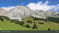 Gemeinde Mieming: Ehrwald, Zugspitze - Feldernalm
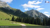 Gemeinde Mieming: Ehrwald, Zugspitze - Feldernalm
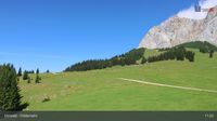 Gemeinde Ehrwald: Ehrwald, Zugspitze - Feldernalm
 Gemeinde Ehrwald: Wettersteinbahnen Ehrwald
 Grainau: Dorf - Grosser und kleiner Waxenstein
 Grainau › South: Zugspitze
 Hammersbach
 Grainau: Garmisch - Partenkirchen

| today | tomorrow | day after tomorrow | |
|---|---|---|---|
| Dawn: | 7:14 | 7:16 | 6:17 |
| Sunrise: | 7:46 | 7:47 | 6:49 |
| Sunset: | 18:14 | 18:12 | 17:11 |
| Dusk: | 18:45 | 18:44 | 17:42 |