

Climbing
st, 19.8.2026, 10:17
Švýcarsko
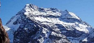
Logged on Vrcholovka 2x in total. Vrchol Hohberghorn / Hohbärghorn / Hobärghorn was added here by Milan "Hojší" Průžek and info was completed by Milan "Hojší" Průžek a Pája.
Hohberghorn / Hohbärghorn / Hobärghorn is part of challenges: 48 Swiss 4000ers, Alpine Four-thousanders
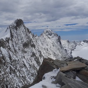
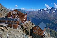
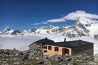
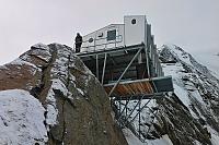
The summit can be reached from Bordierhütte (2886 m) and Mischabelhütte (3340 m). The mountain is surrounded by the Hohblam, Ried, and Fall glaciers.
The first ascent was made in August 1869 by R. B. Heathcote, Franz Biner, Peter Perren, and Peter Taugwalder.
There is no chalet on the peak.
Peak is not stroller accessible.
There are views from the peak.
There is no cable car to this peak.
Special equipment is required for this summit.
Peak is freely accessible.
Nearest peaks: Stecknadelhorn (4241 m, 0.4 km) Dirruhorn / Dürrenhorn (4035 m, 0.9 km) Nadelhorn (4327 m, 0.9 km) Chli Dirruhorn / Klein Dürrenhorn (3890 m, 1.2 km) Lenzspitze (4294 m, 1.4 km) Ulrichshorn (3925 m, 1.8 km) Dom de Mischabel (4545 m, 2.1 km) Gugla (3377 m, 2.9 km) Täschhorn (4491 m, 3.2 km)
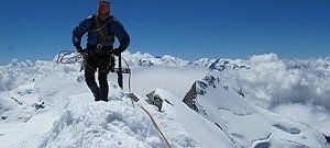 Výstup hřebenem Nadelgrat přes čtyřtisícovky Stecknadelhorn, Dürrenhorn a Nadelhorn
 Traverz tří Walliských klenotů – Alphubel – Täschhorn – Dom
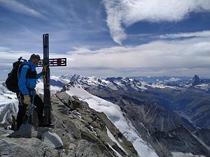 Výstupy v alpské čtyřtisícovky Bishorn a Combin de Valsorey, pro který byl motivátorem sám Ueli Steck
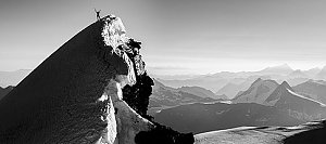 Výstup na čtyřtisícovku Weisshorn ve Walliských Alpách
Výstup na švýcarskou čtyřtisícovku Weisshorn přes jižní, skalnatou hranou
Hohlaubgrat na Allalinhorn - úchvatný hřeben na klasickou čtyřtisícovku
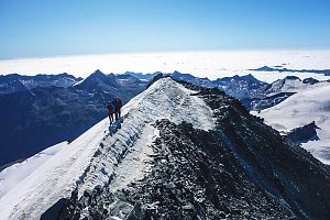 Výstup na Lagginhorn – nejnižší švýcarskou čtyřtisícovku
 Randa: Charles Kuonen Suspension Bridge
 Saas-Grund: Kreuzbodensee
 Saas-Fee › North: Längflue
 Sankt Niklaus: Gugla - Bielzigji
 Saas-Fee: Längfluh Berg
 Saas-Fee › East: Längflue
 Saas-Fee: Längfluh
 Saas-Fee: Mittelallalin
 Saas-Fee: Mittelallalin
 Saas-Fee: Mittelallalin
 Saas-Fee: Mittelallalin
 Saas-Fee: Mitelallalin - Allalin
 Saas-Fee: Mittelallalin - Allalin

| today | tomorrow | day after tomorrow | |
|---|---|---|---|
| Dawn: | 6:59 | 7:00 | 7:02 |
| Sunrise: | 7:32 | 7:33 | 7:34 |
| Sunset: | 16:54 | 16:53 | 16:53 |
| Dusk: | 17:27 | 17:26 | 17:25 |