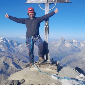


Climbing, 28 km
27.8.2016 to 30.8.2016
 Švýcarsko
Logged on Vrcholovka 2x in total. Vrchol Täschhorn was added here by Milan "Hojší" Průžek and info was completed by Milan "Hojší" Průžek.
Täschhorn is part of challenges: 48 Swiss 4000ers, Alpine Four-thousanders
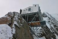
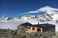
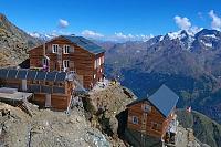
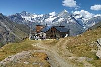
It belongs to the Mischabel massif. It is located south of Dom and north of Alphubel. The summit can be reached from Täschhütte (2701 m), Mischabeljoch Biwak (3851 m), Europaweghütte Täschalp (2200 m), Hotel Langflue (2867 m), Kinhütte (2584 m), and Domhütte (2940 m). The mountain is surrounded by glaciers: Kingletscher to the west, Weingartengletscher to the south, and Feegletscher to the east.
The first people to reach the summit were climbers John Llewelyn-Davies, J. W. Hayward, Peter-Josef Summermatter, Stefan, and Johann Zumtaugwald on July 30, 1862.
There is no chalet on the peak.
Peak is not stroller accessible.
There are views from the peak.
There is no cable car to this peak.
Special equipment is required for this summit.
Peak is freely accessible.
Nearest peaks: Dom de Mischabel (4545 m, 1.2 km) Alphubel (4206 m, 2.3 km) Lenzspitze (4294 m, 2.5 km) Nadelhorn (4327 m, 2.9 km) Stecknadelhorn (4241 m, 3.1 km) Hohberghorn / Hohbärghorn / Hobärghorn (4219 m, 3.2 km)
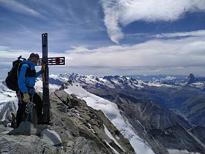 Hohlaubgrat na Allalinhorn - úchvatný hřeben na klasickou čtyřtisícovku
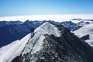 Výstup hřebenem Nadelgrat přes čtyřtisícovky Stecknadelhorn, Dürrenhorn a Nadelhorn
 Výstup na čtyřtisícovku Dom, aneb jak jsme lezli na jeden z nejkrásnějších kopců Alp
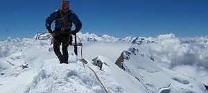 Výstup na čtyřtisícovku Weisshorn ve Walliských Alpách
Výstupy v alpské čtyřtisícovky Bishorn a Combin de Valsorey, pro který byl motivátorem sám Ueli Steck
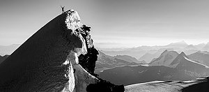 Výstup na švýcarskou čtyřtisícovku Weisshorn přes jižní, skalnatou hranou
Výstup na Lagginhorn – nejnižší švýcarskou čtyřtisícovku
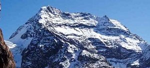
 Saas-Fee: Längfluh
 Saas-Fee: Längfluh Berg
 Saas-Fee › North: Längflue
 Saas-Grund: Kreuzbodensee
 Saas-Fee: Mittelallalin
 Randa: Charles Kuonen Suspension Bridge
 Saas-Fee: Mittelallalin
 Saas-Fee: Mittelallalin
 Saas-Fee: Mittelallalin
 Saas-Fee: Mitelallalin - Allalin
 Saas-Fee: Mittelallalin - Allalin
 Randa: Europa Hut
 Saas-Fee: Mittelallalin
 Hannigalp: Restaurant Hannig Bergrestaurant
 Saas-Fee: Hannig
 Saas-Fee: Hannig
 Saas-Fee: Hannig
 Saas-Fee: Hannig
 Sankt Niklaus: Gugla - Bielzigji

| today | tomorrow | day after tomorrow | |
|---|---|---|---|
| Dawn: | 6:30 | 6:31 | 6:32 |
| Sunrise: | 7:00 | 7:02 | 7:03 |
| Sunset: | 17:24 | 17:22 | 17:21 |
| Dusk: | 17:54 | 17:53 | 17:51 |