

Hiking, 18 km
12.9.2023
 Švýcarsko
Logged on Vrcholovka 15x in total. Vrchol Dom de Mischabel was added here by Pája and info was completed by Pája.
Dom de Mischabel is part of challenges: 48 Swiss 4000ers, Alpine Four-thousanders
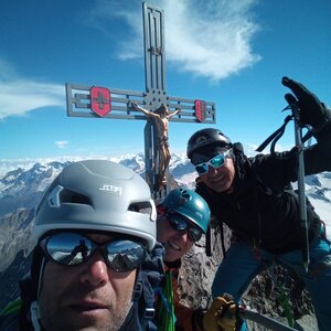
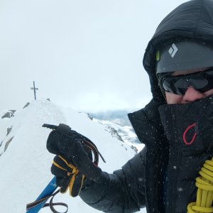
Dom is a Swiss mountain located in the Mischabelgruppe range (part of the Wallis Alps) between the Mattertal and Saastal valleys (almost on the line connecting the villages of Randa and Saas-Fee). With an elevation of 4545 m, it is the highest 'inland' mountain in Switzerland, as other higher Swiss peaks (Dufourspitze, Nordend, etc.) are located on the Italian-Swiss border.
The first ascent was made on September 11, 1858, by J. L. Davies, Johann Zumtaugwald, Johann Krönig, and Hieronymous Brantschen via the northwestern ridge (Festigrat).
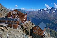
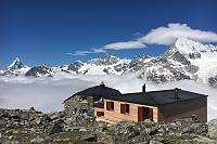
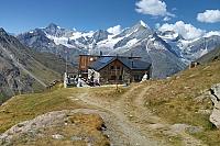
The ascent via the so-called normal route starts from Randa, passing Domhütte (2945 m above sea level) along the edge of the glacier (Festigletscher), then up to the ridge to the Festijoch saddle (3723 m above sea level), from the saddle briefly downhill (approximately northeast) and then continuing up the northern slope along another glacier (Hohbärggletscher) to a notch just below the summit. From there, a short climb to the summit. A popular variant from the Festijoch saddle is also the route of the first ascenders directly along the Festigrat ridge to the summit, thus avoiding the exhausting ascent along the second glacier.
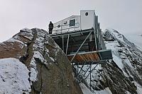
There is a chalet on the peak.
Peak is not stroller accessible.
There are views from the peak.
There is no cable car to this peak.
Special equipment is required for this summit.
Peak is freely accessible.
Nearest peaks: Täschhorn (4491 m, 1.2 km) Lenzspitze (4294 m, 1.4 km) Nadelhorn (4327 m, 1.7 km) Stecknadelhorn (4241 m, 2 km) Hohberghorn / Hohbärghorn / Hobärghorn (4219 m, 2.1 km) Dirruhorn / Dürrenhorn (4035 m, 3 km) Ulrichshorn (3925 m, 3 km) Chli Dirruhorn / Klein Dürrenhorn (3890 m, 3.3 km)
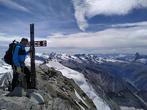 Výstup hřebenem Nadelgrat přes čtyřtisícovky Stecknadelhorn, Dürrenhorn a Nadelhorn
 Výstup na čtyřtisícovku Dom, aneb jak jsme lezli na jeden z nejkrásnějších kopců Alp
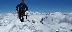 Výstupy v alpské čtyřtisícovky Bishorn a Combin de Valsorey, pro který byl motivátorem sám Ueli Steck
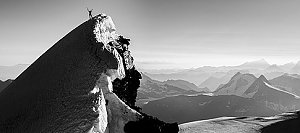 Hohlaubgrat na Allalinhorn - úchvatný hřeben na klasickou čtyřtisícovku
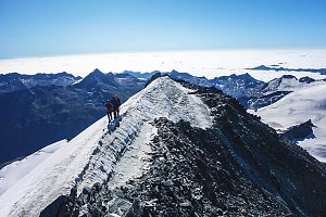 Výstup na čtyřtisícovku Weisshorn ve Walliských Alpách
Výstup na švýcarskou čtyřtisícovku Weisshorn přes jižní, skalnatou hranou
Výstup na Lagginhorn – nejnižší švýcarskou čtyřtisícovku
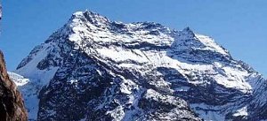
 Saas-Fee: Längfluh Berg
 Saas-Fee › East: Längflue
 Saas-Fee: Längfluh
 Saas-Grund: Kreuzbodensee
 Randa: Europa Hut
 Randa: Charles Kuonen Suspension Bridge
 Hannigalp: Restaurant Hannig Bergrestaurant
 Saas-Fee: Hannig
 Saas-Fee: Hannig
 Saas-Fee: Hannig
 Saas-Fee: Hannig
 Saas-Fee: Mittelallalin
 Saas-Fee: Mittelallalin
 Saas-Fee: Mittelallalin
 Saas-Fee: Mittelallalin
 Saas-Fee: Mitelallalin - Allalin
 Saas-Fee: Mittelallalin - Allalin
 Saas-Fee: Mittelallalin
 Sankt Niklaus: Gugla - Bielzigji

| today | tomorrow | day after tomorrow | |
|---|---|---|---|
| Dawn: | 6:31 | 6:32 | 6:34 |
| Sunrise: | 7:02 | 7:03 | 7:05 |
| Sunset: | 17:22 | 17:21 | 17:19 |
| Dusk: | 17:53 | 17:51 | 17:50 |