


Hiking, 9 km
6.8.2020


Švýcarsko
Logged on Vrcholovka 1x in total. Vrchol Under the Matterhorn (3238 m) was added here by Radim.
Help others and .
There is no chalet on the peak.
Peak is not stroller accessible.
There are views from the peak.
There is no cable car to this peak.
No special equipment is required for this summit.
Peak is freely accessible.
Nearest peaks: Matterhorn (4478 m, 1.3 km) Pic Tyndall (4241 m, 1.7 km) Furggen (3492 m, 2.8 km) Furgghorn (3451 m, 3.6 km)
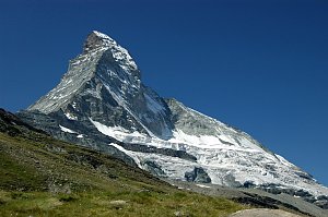 Pohodový trek pod nádherným Matterhornem
 Vysokohorská túra hřebenovou perlou Wallisu - traverz Breithornu
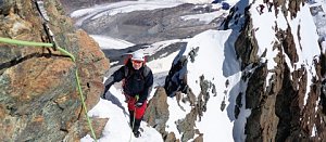 Výstupy na Gran Somettu a Motta di Pleté v Itálii
Výstup na Dent d´Hérens
 Výstup na snadnou čtyřtisícovku Breithorn ve Walliských Alpách
 Výstup na Zinalrothorn
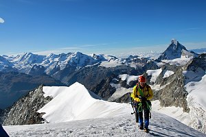
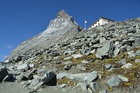



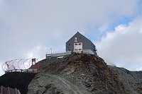
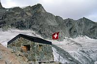

 Stafel › South: Zermatt, Restaurant Stafelalp
 Blatten: Zermatt, Trockener Steg
 Zermatt: Aroleid
 Breuil-Cervinia: Cime Bianche Laghi
 Blatten › South: Zermatt, Zmutt
 Blatten › North: Zermatt, Zmutt
 Cervinia: Plan Maison panomax-hd
 Valtournenche › North-East
 Cervinia: Plan Maison
 Breuil-Cervinia: Seggiovia Campetto, Cervino/Matterhorn
 Breuil-Cervinia: Plateau Rosa panomax-hd
 Breuil-Cervinia
 Cervinia: Matterhorn
 Breuil-Cervinia › North: Matterhorn
 Zermatt: Matterhorn Glacier Paradise
 Valtournenche: Cervinia

| today | tomorrow | day after tomorrow | |
|---|---|---|---|
| Dawn: | 6:50 | 6:52 | 6:53 |
| Sunrise: | 7:22 | 7:24 | 7:25 |
| Sunset: | 17:03 | 17:02 | 17:01 |
| Dusk: | 17:35 | 17:34 | 17:33 |
