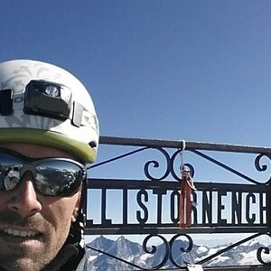
Hiking, 9 km
11.9.2022
 Itálie
Logged on Vrcholovka 12x in total. Vrchol Matterhorn was added here by Pája and info was completed by Pekol a Martin Matějka.
Matterhorn is part of challenges: 39 quattromila italiani, 48 Swiss 4000ers, Alpine Four-thousanders
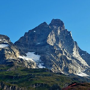
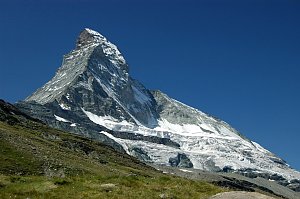
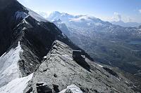
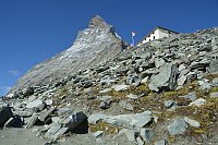
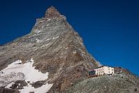
Italian Monte Cervino, French Mont Cervin or Le Cervin. Considered one of the most beautiful and popular mountains in Europe. With an elevation of 4,478 meters, it is also the seventh highest mountain in the Alps. It towers on the border between Switzerland and Italy, above the Swiss town of Zermatt and the Italian town of Breuil-Cervinia. The name Matterhorn comes from the German word matte (mountain meadow) and the mountain's characteristic shape, horn. This mountain is increasingly closed to climbers (temporary climbing bans). The reason is the dangerous rockfalls from heights above 3,500 meters caused by the gradual melting of permafrost (permanently frozen rock covering the slopes of the mountain).
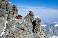
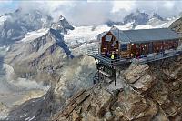
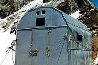
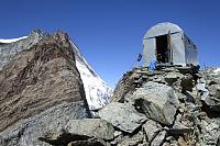
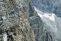
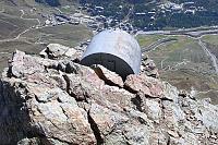
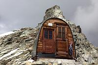
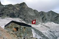
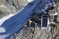
The Solvay bivouac hut is on the Hörnli ascent route at an altitude of 4,003 m. It is an emergency shelter with a solar panel, radio, bunk beds, and blankets. It is by no means suitable as a bivouac during the ascent; in case of worsening weather, the descent is difficult to navigate and extremely challenging in snow, with rescue from outside almost impossible (it is stuck on a steep rock ridge).
Peak is not stroller accessible.
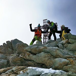
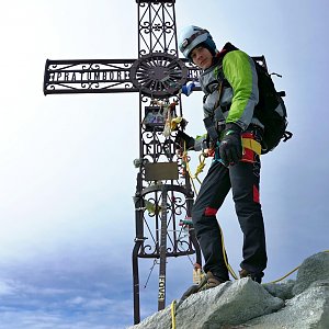
There are views from the peak.
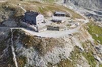
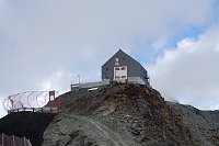
The cable car runs from Zermatt to an altitude of 2,500 m (Schwarzsee), is on the logical ascent route Hörnli from the Swiss side, and it is advisable to use it regardless of the cost. The ascent to the summit from the Hörnli Hütte (3,260 m), where the real steep rock climb begins, will take quite a lot of strength even for experienced and well-conditioned climbers.
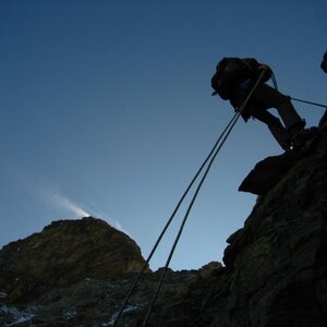
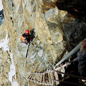
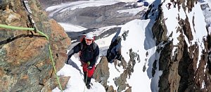
100% helmet, the rock is crumbling, and nature also releases stones. An ice axe (in the summit sections) is necessary, and climbing is mostly done without intermediate protection, but there are occasional belay points on the descent, and it is safer to rappel some sections. Crampons are needed for the summit sections, and water for the whole day is essential (strongly recommended to turn around in one day). The descent is often longer than the ascent due to rappelling, securing, and fatigue. A headlamp for the morning part is necessary; getting lost in the dark during the descent is highly risky due to the difficult navigation in the rugged rock. Bivouacking at the Hörnli hut at the base has been prohibited for a few years, so without a tent, overnight stays (quite expensive) in the hut provide relative warmth, communal bunks, blankets, water, and food. Note, the last water is at the upper station Schwarzsee; Hörnli Hütte takes it from the remnants of snow above the hut.
Peak is freely accessible.
Nearest peaks: Pic Tyndall (4241 m, 0.4 km) Testa del Leone (3715 m, 1.3 km) Furggen (3492 m, 2.8 km)
 Vysokohorská túra hřebenovou perlou Wallisu - traverz Breithornu
 Výstup na Dent d´Hérens
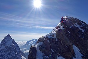 Výstupy na Gran Somettu a Motta di Pleté v Itálii
 Pohodový trek pod nádherným Matterhornem
Výstup na snadnou čtyřtisícovku Breithorn ve Walliských Alpách
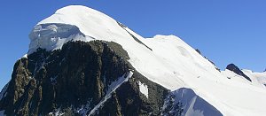 Výstup na Zinalrothorn
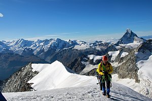

 Stafel › South: Zermatt, Restaurant Stafelalp
 Cervinia: Plan Maison panomax-hd
 Valtournenche › North-East
 Cervinia: Plan Maison
 Breuil-Cervinia: Cime Bianche Laghi
 Breuil-Cervinia: Seggiovia Campetto, Cervino/Matterhorn
 Cervinia: Matterhorn
 Breuil-Cervinia
 Breuil-Cervinia › North: Matterhorn
 Blatten › South: Zermatt, Zmutt
 Blatten › North: Zermatt, Zmutt
 Valtournenche: Cervinia
 Breuil-Cervinia: Plateau Rosa panomax-hd
 Breuil-Cervinia: Seggiovia Goillet, Cervino/Matterhorn

| today | tomorrow | day after tomorrow | |
|---|---|---|---|
| Dawn: | 7:26 | 7:28 | 6:29 |
| Sunrise: | 7:57 | 7:58 | 6:59 |
| Sunset: | 18:30 | 18:28 | 17:26 |
| Dusk: | 19:00 | 18:59 | 17:57 |