Dôme de Rochefort (4015 m a.s.l., Mont Blanc)
Register and log summit
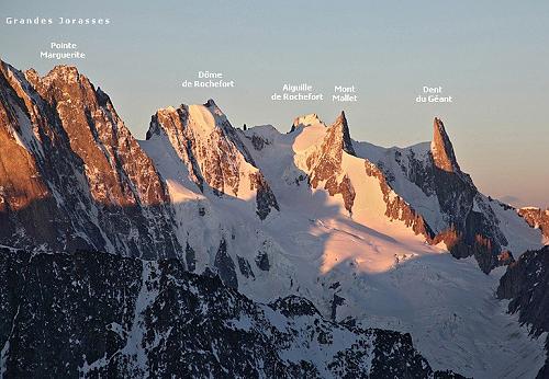

About peak Dôme de Rochefort
 Francie
 Itálie
Vrchol Dôme de Rochefort was added here by Milan "Hojší" Průžek and info was completed by Milan "Hojší" Průžek a Pája.
Dôme de Rochefort is part of challenges: 24 quatre-mille français, 39 quattromila italiani, Alpine Four-thousanders
The Rochefort Ridge traverse has long been one of the most popular alpine hikes. The firn ridge stretches east-west and has enchanted every visitor since its first exploration. It follows the prominent border line that runs from Tour Ronde to Grandes Jorasses, towering over the Périades basin and the Mer de Glace glacier on the northern side, while offering a grand view into the depths of the Italian Val Ferret valley on the southern side. The kilometer-long ridge is extraordinary without being extremely challenging. In terms of aesthetic impression, few rivals can be found in the alpine arc. It is often compared to the Biancograt ridge on Piz Bernina, which is technically more difficult. The Rochefort Ridge requires less from climbers, thus it has more admirers.
- a long high-altitude firn ridge with two not overly challenging four-thousanders
- it runs along the border line between Tour Ronde and Grandes Jorasses and is one of the most beautiful and rightly the most famous alpine hikes.
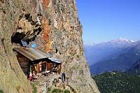
The summit can be reached from Refuge des Cosmiques (3613 m) on the French side and Rifugio Torino (3322 and 3375 m, 2 buildings) on the Italian side.
The mountain was first ascended on August 12, 1881 by J. Eccles, M.-C. Payot, and A. Payot.
- Chalet/accommodation
-
There is no chalet on the peak.
- Stroller access
-
Peak is not stroller accessible.
- Views
- Cable car
-
There is no cable car to this peak.
- Equipment
-
Special equipment is required for this summit.
- Accessibility
Nearest peaks: Aiguille de Rochefort (4001 m, 0.6 km) Grandes Jorasses / Punta Margherita (4065 m, 0.9 km) Grandes Jorasses / Punta Elena (4045 m, 1 km) Grandes Jorasses / Pointe Croz (4110 m, 1.2 km) Dente del Gigante / Dent du Géant (4013 m, 1.3 km) Grandes Jorasses / Pointe Whymper (4184 m, 1.4 km) Grandes Jorasses / Pointe Walker (4208 m, 1.7 km) Aiguilles Marbrées (3535 m, 2.5 km)
Routes nearby
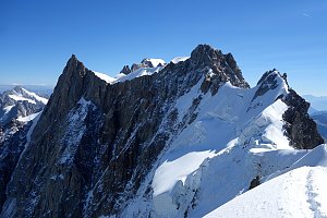 Alpský výstup na Pyramide du Tacul východní hranou
(elevation gain 700 m, 10 km)
 Výstup na Arete des Cosmiques na Aiguille du Midi
(elevation gain 400 m, )
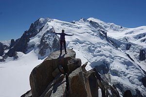 Okružní výstup na vrchol Tete de la Tronche naproti Mont Blancu
(elevation gain 1900 m, 25 km)
Túra pro fotografy za vyhlídkou Le Signal Forbes(elevation gain 300 m, 6 km)
Letní Haute Route: přechod Alp z Chamonix do Zermattu(elevation gain 13000 m, 180 km)
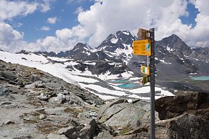 Trek k bílé perle Alp - Mont Blanc
(elevation gain 1800 m, 20 km)
Mountain chalets
(3818 m a.s.l., 0.6 km)
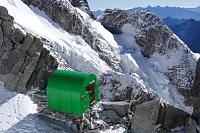
(3400 m a.s.l., 1.2 km)
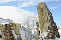
(2803 m a.s.l., 1.5 km)
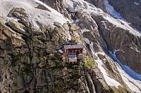
(3264 m a.s.l., 2.7 km)
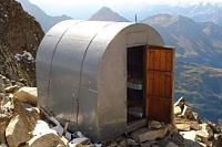
(3375 m a.s.l., 3.4 km)
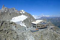
(2447 m a.s.l., 3.6 km)
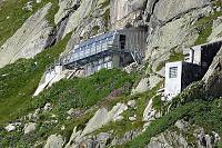
(2835 m a.s.l., 3.7 km)
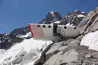
(2516 m a.s.l., 3.7 km)
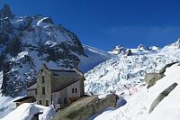
(2325 m a.s.l., 7.8 km)
Webcams
(3387 m a.s.l., 3.4 km)
 Casa Purtud: Punta Helbronner
(3403 m a.s.l., 3.5 km)
 Chamonix-Mont-Blanc
( 3.7 km)
 Chamonix-Mont-Blanc › South-East
( 3.9 km)
 Courmayeur: Valle d’Aosta, Italia: Monte Bianco
(2159 m a.s.l., 4.2 km)
 Courmayeur: Val Ferret
(1642 m a.s.l., 4.5 km)
 Chamonix-Mont-Blanc › North-East: Aiguille du Tacul - Grandes Jorasses
(-32768 m a.s.l., 5.1 km)
 Chamonix-Mont-Blanc: Aiguille du Tacul - Grandes Jorasses
(-32768 m a.s.l., 5.1 km)
 Chamonix-Mont-Blanc › North-East: Argentière Hut
(-32768 m a.s.l., 5.1 km)
 Chamonix-Mont-Blanc
( 5.1 km)
 Chamonix-Mont-Blanc › South-East: Aiguille du Tacul - Grandes Jorasses
(-32768 m a.s.l., 5.1 km)
 Entrèves: Cantiere nuova funivia del monte bianco
(1345 m a.s.l., 5.4 km)

Sun
| today | tomorrow | day after tomorrow | |
|---|---|---|---|
| Dawn: | 7:29 | 7:30 | 6:32 |
| Sunrise: | 7:59 | 8:01 | 7:02 |
| Sunset: | 18:33 | 18:31 | 17:29 |
| Dusk: | 19:03 | 19:01 | 18:00 |