




Climbing, 31 km
14.8.2025 to 15.8.2025
 Francie
 Itálie
Logged on Vrcholovka 3x in total. Vrchol Aiguille de Bionnassay was added here by Milan "Hojší" Průžek and info was completed by Milan "Hojší" Průžek.
Aiguille de Bionnassay is part of challenges: 24 quatre-mille français, 39 quattromila italiani, Alpine Four-thousanders
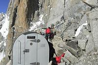
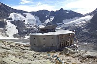
Aiguille de Bionnassay (4052 m a.s.l.) is a mountain in the Mont Blanc massif in the Graian Alps. Its summit marks the state border between France (Rhône Alpes region) and Italy (Valle d'Aosta region). The summit can be reached from the Rifugio del Goûter (3817 m a.s.l.) on the French side, or from the Rifugio Torino (3322 m a.s.l. and 3375 m a.s.l., it has 2 buildings) on the Italian side.
The first people to reach the summit were climbers E. N. Buxton, Florence Crauford Grove, R. S. McDonald, J.-P. Cachat, and M. Payot on July 28, 1865.
There is no chalet on the peak.
Peak is not stroller accessible.
There are views from the peak.
There is no cable car to this peak.
Special equipment is required for this summit.
Peak is freely accessible.
Nearest peaks: Piton des Italiens (4002 m, 0.9 km) Colline des Italiens (4141 m, 1.4 km) Aiguille du Goûter (3863 m, 1.9 km) Dôme du Goûter (4304 m, 2.1 km) Tête Rousse (3183 m, 2.1 km) Dômes de Miage (5th Dome) (3572 m, 2.5 km) Dômes de Miage (3673 m, 2.7 km) Dômes de Miage (2nd dôme) (3633 m, 3.2 km) Dômes de Miage JZ (3670 m, 3.6 km)
 Výstup na nejvyšší vrchol Evropy normálkou - Mont Blanc
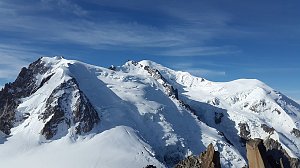 Alpský výstup na Pyramide du Tacul východní hranou
Výstup na Arete des Cosmiques na Aiguille du Midi
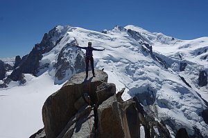 Trek Tour de Mont Blanc
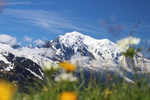 Túra za vyhlídkou a nocovištěm prvních dobyvatelů Mont Blancu
Letní Haute Route: přechod Alp z Chamonix do Zermattu
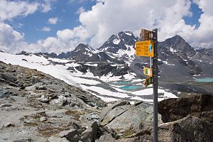 Trek k bílé perle Alp - Mont Blanc
Túra pro fotografy za vyhlídkou Le Signal Forbes
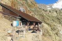
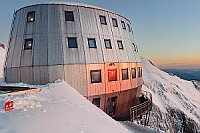
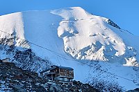
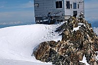
 Saint-Gervais-les-Bains: Refuge du Goûter(3815m) - Mont Blanc
 Saint-Gervais-les-Bains: Refuge du Goûter(3815m) - Mont Blanc
 Saint-Gervais-les-Bains › East: Refuge du Goûter(3815m) - Grand couloir
 Saint-Gervais-les-Bains: Refuge du Goûter(3815m) - Mont Blanc
 Saint-Gervais-les-Bains › North: Tête Rousse Hut
 Saint-Gervais-les-Bains › South-East: Mont Blanc
 La Chapelle: Les Contamines-Montjoie, les Domes de Miage
 Chamonix-Mont-Blanc
 Courmayeur › North-East: Vallot Hut - Refuge du Goûter(3815m)
 Les Houches
 Les Houches › North: Blue Ice Pro Shop

| today | tomorrow | day after tomorrow | |
|---|---|---|---|
| Dawn: | 6:37 | 6:39 | 6:40 |
| Sunrise: | 7:08 | 7:10 | 7:11 |
| Sunset: | 17:24 | 17:22 | 17:21 |
| Dusk: | 17:54 | 17:53 | 17:52 |


