




Hiking
st, 21.8.2024, 8:57
 Itálie
Logged on Vrcholovka 3x in total. Vrchol Naso del Lyskamm was added here by Jar Faldy and info was completed by Martin Matějka a Jiří Králík.
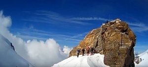
The western route leads over rock and then on ice firn, or possibly on snow.
The eastern route traverses an ice firn above a crevasse, or can be bypassed on rock from the south.
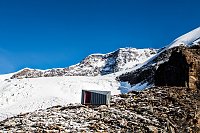
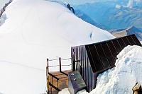
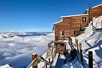
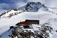
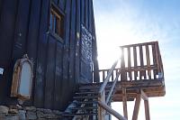
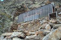
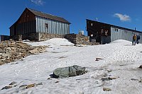
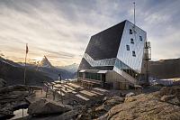
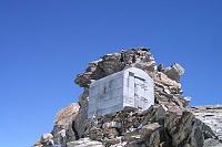
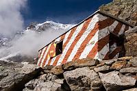
There is a chalet on the peak.
Peak is not stroller accessible.
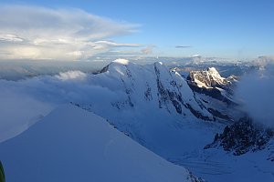
There are views from the peak.
There is no cable car to this peak.
Special equipment is required for this summit.
Peak is freely accessible.
Nearest peaks: Liskamm East / Lyskamm Orientale (4527 m, 0.6 km) Cima di Scoperta (4335 m, 0.9 km) Sattelkuppe (4433 m, 1.1 km) Entdeckungsfelsen (4178 m, 1.4 km) Liskamm West / Lyskamm Occidentale (4479 m, 1.4 km) Balmenhorn (4167 m, 1.8 km) Colle del Lys (4254 m, 2 km) Schwarzhorn / Corno Nero (4321 m, 2.1 km) Ludwigshöhe (4341 m, 2.2 km) Punta Giovanni Gnifetti (3646 m, 2.2 km) Pyramid Vincent (4215 m, 2.2 km) Rifugio Mantova (3510 m, 2.7 km) Punta Luce (3348 m, 3.1 km) Westlicher Dufour-Vorgipfel (4449 m, 3.1 km) Punta Indren (3275 m, 3.3 km) Punta Indren SV (3306 m, 3.3 km)
 Výstup na čtyřtisícovku Signalkuppe ve švýcarských Alpách
 Výstup na Castor (4226 m) ze švýcarského Zermattu přes Rif. Lambronecca
 Největším alpským masivem Monte Rosa na Punta Dufour neboli Dufourspitze
Výstup masivem Monte Rosy na Dufourspitze v Alpách
Výstup na snadnou čtyřtisícovku Breithorn ve Walliských Alpách
 Výstup na čtvrtý nejvyšší vrchol Alp – Lyskamm
 Gressoney-La-Trinite
 Gressoney-La-Trinite: Gressoney-La-Trinité, Monterosa - Punta Indren
 Gressoney-La-Trinite
 Macugnaga
 Macugnaga
 Zermatt: Monte Rosa
 Alagna Valsesia › North
 Alagna Valsesia › South-East
 Gressoney-La-Trinite
 Weng: Passo dei Salati − Alagna Valsesia
 Gressoney-La-Trinitè › East: moos-gabiet
 Gressoney-La-Trinitè › South: Ristoro Sitten
 Gressoney-La-Trinitè › North-East: Monte Rosa
 Gressoney-La-Trinite › North-East
 Gressoney-La-Trinite

| today | tomorrow | day after tomorrow | |
|---|---|---|---|
| Dawn: | 6:39 | 6:40 | 6:41 |
| Sunrise: | 7:10 | 7:11 | 7:13 |
| Sunset: | 17:14 | 17:12 | 17:11 |
| Dusk: | 17:45 | 17:43 | 17:42 |

