




Hiking, 8 km
24.7.2022
 Švýcarsko
Logged on Vrcholovka 2x in total. Peak information here was completed by Pája a Jan Matiášek.
CH
Difficulty I/B-12.II-B
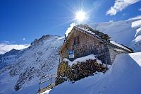
There is no chalet on the peak.
Peak is not stroller accessible.
There are views from the peak.
There is no cable car to this peak.
Special equipment is required for this summit.
Peak is freely accessible.
Nearest peaks: Rotstock (2663 m, 1.6 km) Mönch (4107 m, 2.2 km)
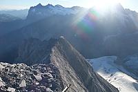
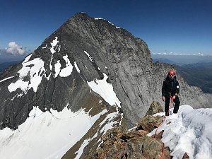 Výstup na historií opředený Eiger
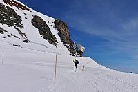
 Výstup od nejvyšší železniční stanice v Evropě na Jungfrau a Mönch
Výstup severní stěnou - Nollen route, na vrchol Mönch v Bernských Alpách
Velkolepá alpská túra - Eiger trail, s výhledy na Eiger, Mnich a Jungfrau
Přechod největšího ledovce Alp - Aletsch ve Švýcarsku
Výstup na Finsteraarhorn – nejvyšší vrchol Bernských Alp
Náročný traverz čtyřtisícovek Schreckhorn a Lauteraarhorn
 Grindelwald › West: Eiger
 Grindelwald: Eigergletscher
 Fieschertal › South-West
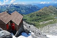
 Fieschertal: Mönchsjochhütte
 Grindelwald: Eiger Express Panorama Mast 4
 Jungfraujoch: Top of Europe
 Grindelwald: Interaktive °-Webcam Kleine Scheidegg-Lauberhorn
 Fieschertal: Jungfraujoch: Jungfraujoch - Aussenansicht
 Fieschertal: Jungfraujoch
 Lauterbrunnen: Jungfraujoch
 Lauterbrunnen: Ostgrat
 Lauterbrunnen: Lauberhorn Wixi
 Grindelwald › North-East
 Grindelwald: Wetterhorn
 Grindelwald: Bäregg Solar
 Grindelwald: Terminal
 Grindelwald: Belvedere Swiss Quality Hotel Grindelwald - Eiger - Wetterhorn - Kleine Scheidegg - Männlichen
 Grindelwald: Belvedere Swiss Quality Hotel Grindelwald − Eiger − Wetterhorn − Kleine Scheidegg - Männlichen
 Grindelwald: Kreuz Post Hotel
 Grindelwald: Pfingstegg
 Grindelwald › South-West: bodmiARENA
 Grindelwald: Kirchbühl
 Grindelwald: Hotel Kirchbühl 360 HD
 Grindelwald

| today | tomorrow | day after tomorrow | |
|---|---|---|---|
| Dawn: | 6:28 | 6:30 | 6:31 |
| Sunrise: | 6:59 | 7:01 | 7:02 |
| Sunset: | 17:24 | 17:22 | 17:21 |
| Dusk: | 17:55 | 17:53 | 17:52 |


