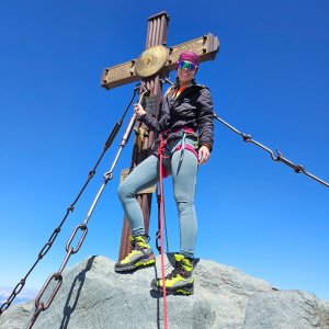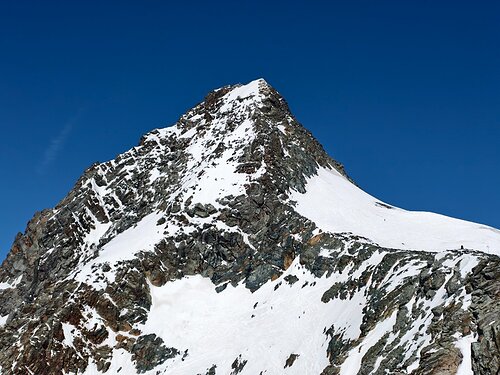


Climbing, 13 km
9.8.2025
 Rakousko
Logged on Vrcholovka 82x in total. Vrchol Grossglockner was added here by koc256 and info was completed by Horalka Anička, Honza, alushak, Martin Matějka a Jiří Králík.
Grossglockner is part of challenges: Austrian Alps, Highest Geographical Points of Europe, Highest Mountains of European Countries, TOP 10 Austria, Ultraprominent Europe, Ultraprominentní Rakousko
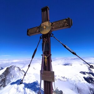
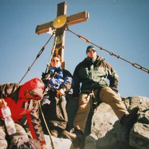
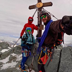
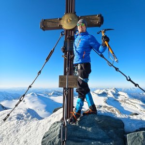
The highest mountain in Austria and the second most prominent peak in the entire Alps!
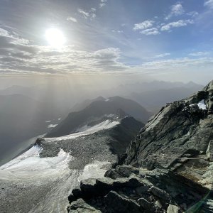
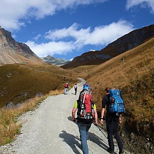
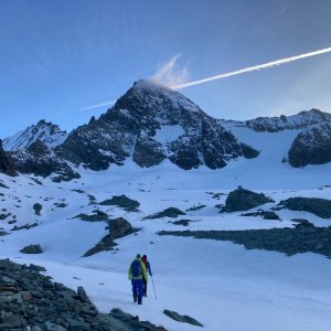
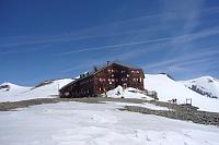
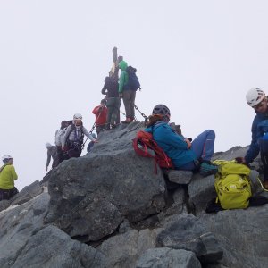
The normal route starts from the parking lot at Lucknerhaus, passing by Lucknerhütte to Stüdlhütte (overnight stay). Early in the morning, we set off towards the Ködnitzkees glacier (crampons, rope), followed by a via ferrata to Erzherzog-Johann-Hütte for a rest at Adlersruhe. A gradual path leads to the second glacier, Kleinglocknerkees, whose steep slope of up to 35° is traversed by a zig-zag trail. From the end of the glacier, only 250 meters remain to the summit, but this is the most difficult part, where securing with a rope and protection poles is necessary. After reaching Kleinglockner, we descend to the adrenaline saddle Obere Glocknerscharte, from where we climb the rock to the summit itself.
Johan Hütte is at 3454 m.
Peak is not stroller accessible.
There are views from the peak.
There is no cable car to this peak.
glacier and rock ascent
Peak is freely accessible.
Nearest peaks: Kleinglockner (3770 m, 0.1 km) Grögerschneid (3660 m, 0.2 km) Glocknerhorn (3680 m, 0.3 km) Teufelshorn (3677 m, 0.3 km) Hörtnaglturm (3719 m, 0.6 km) Adlershuhe (3472 m, 0.7 km) Draschturm (3716 m, 0.7 km) Gerinturm (3718 m, 0.8 km) Pöschlturm (3722 m, 0.8 km) Hofmannspitze (3711 m, 0.9 km) Kampl (3188 m, 1 km) Luisenkopf (3207 m, 1.2 km) Burgwartkogel (3138 m, 1.3 km) Hohenwartkopf (3308 m, 1.5 km) Gramul (3276 m, 1.7 km) Schere (3037 m, 1.8 km) Teufelskamp (3511 m, 1.8 km) Kellersberg (3265 m, 2 km) Kellerskopf (3239 m, 2.4 km) Fanatkogel (2905 m, 2.6 km) Romariswandköpfe (3511 m, 2.6 km) Lange Wand (3072 m, 2.7 km) Romariswandkopf-Nordwestgipfel (3491 m, 2.8 km) Fanatkogel J (2906 m, 2.9 km) Schwerteck (3247 m, 2.9 km) Klein Schottergipfel (2629 m, 3.1 km) Mittlerer Burgstall (2933 m, 3.2 km) Obere Elschberg (2754 m, 3.6 km)
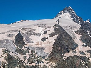 Výstup na nejvyšší vrchol Rakouska Grossglockner
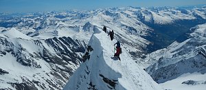 Výstup na nejvyšší vrchol Rakouska - Grossglockner přes hřeben Stüdlgrat
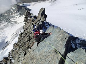 Výstup na sněhovou horu Johannisberg (3463 m) ve Vysokých Taurách
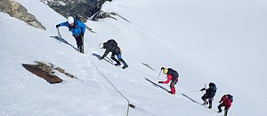 Výstup na Fuscherkarkopf
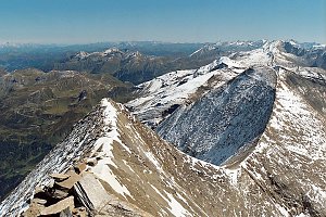 Tauernhöhenweg: Náročná hřebenovka Vysokých Taur
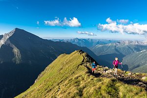 Výstup na štíty Grosser a Mittlerer Bärenkopf
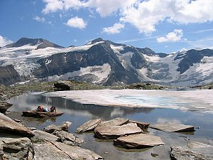 Výstup na Großes Wiesbachhorn
 Grosses Wiesbachhorn (3564 m) – výstup na žraločí ploutev Vysokých Taur
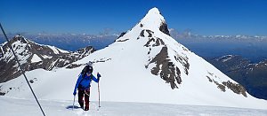 VHT přechod hřebene Vysokých Taur - Alpská maturita
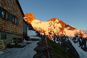
 Jörgnalm: Adlersruhe − Blick nach Westen zum Großglockner
 Kals am Großglockner: Lucknerhütte am Fuße des Großglockners
 Heiligenblut am Grossglockner: Oberwalderhütte - Blick nach Süden zum Großglockner
 Marx: Großglockner Webcams
 Gemeinde Kals am Grossglockner: Kalser Glocknerstraße - Glocknerwinkel
 Jörgnalm: Glocknerwinkel − Blick nach Norden zum Großglockner
 Gemeinde Kals am Grossglockner › West: Kalser Glocknerstraße - Glocknerwinkel
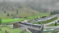 Jörgnalm: Lucknerhaus − Blick zum Großglockner
 Kals › South: Kals am Großglockner

| today | tomorrow | day after tomorrow | |
|---|---|---|---|
| Dawn: | 7:07 | 7:09 | 6:10 |
| Sunrise: | 7:38 | 7:40 | 6:41 |
| Sunset: | 18:08 | 18:06 | 17:04 |
| Dusk: | 18:39 | 18:37 | 17:36 |