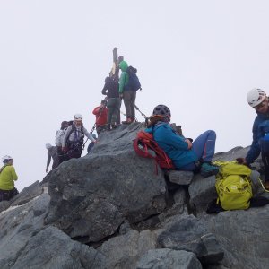

Climbing, 13 km
9.8.2025
 Rakousko
Logged on Vrcholovka 39x in total. Vrchol Kleinglockner was added here by Milan "Hojší" Průžek and info was completed by Martin Matějka.
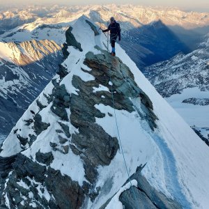
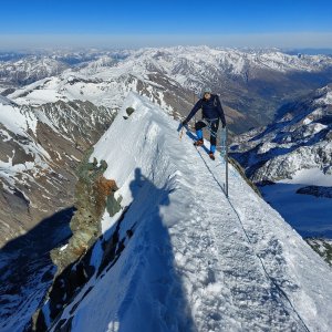
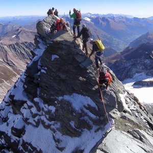
The forepeak of Austria's highest mountain, Großglockner (80 m southwest), separated from it by the shallow pass Obere Glocknerscharte. Due to the peak's prominence of only 17 m, it is not usually recognized as an independent peak, but rather referred to as a subsidiary peak of Großglockner.
The first ascent was made on August 25, 1799, by Martin Klotz, Sepp Klotz, Sigmund von Hohenwart, Johann Zopoth, and two carpenters. It was only a year later that the same group managed to summit Großglockner as well.
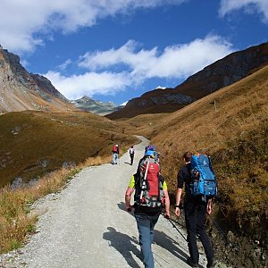
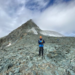
The best route to the summit is from the Erzherzog-Johann-Hütte hut. The ascent route to Großglockner passes over the summit.
There is no chalet on the peak.
Peak is not stroller accessible.
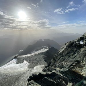
There are views from the peak.
There is no cable car to this peak.
According to the ascent route.
Crampons, an ice axe, and a rope are recommended.
Peak is freely accessible.
Nearest peaks: Grossglockner (3798 m, 0.1 km) Grögerschneid (3660 m, 0.3 km) Glocknerhorn (3680 m, 0.4 km) Teufelshorn (3677 m, 0.4 km) Adlershuhe (3472 m, 0.6 km) Hörtnaglturm (3719 m, 0.7 km) Draschturm (3716 m, 0.8 km) Gerinturm (3718 m, 0.8 km) Hofmannspitze (3711 m, 0.9 km) Kampl (3188 m, 0.9 km) Pöschlturm (3722 m, 0.9 km) Luisenkopf (3207 m, 1.2 km) Burgwartkogel (3138 m, 1.3 km) Hohenwartkopf (3308 m, 1.4 km) Gramul (3276 m, 1.7 km) Schere (3037 m, 1.8 km) Teufelskamp (3511 m, 1.8 km) Kellersberg (3265 m, 1.9 km) Kellerskopf (3239 m, 2.3 km) Fanatkogel (2905 m, 2.6 km) Lange Wand (3072 m, 2.7 km) Romariswandköpfe (3511 m, 2.7 km) Fanatkogel J (2906 m, 2.9 km) Romariswandkopf-Nordwestgipfel (3491 m, 2.9 km) Schwerteck (3247 m, 2.9 km) Klein Schottergipfel (2629 m, 3.1 km) Schottergipfel (2631 m, 3.1 km) Mittlerer Burgstall (2933 m, 3.2 km) Obere Elschberg (2754 m, 3.6 km)
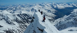 Výstup na nejvyšší vrchol Rakouska - Grossglockner přes hřeben Stüdlgrat
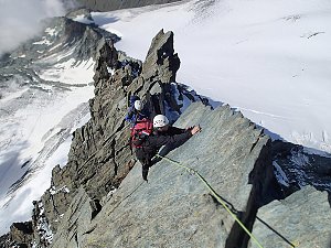 Výstup na Grossglockner ze severu, Pallaviciniho kuloárem
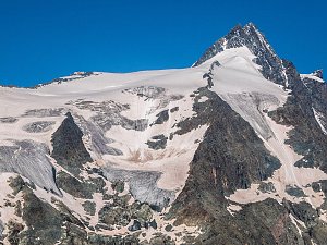 Výstup na sněhovou horu Johannisberg (3463 m) ve Vysokých Taurách
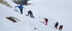 Výstup na Fuscherkarkopf
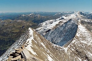 Tauernhöhenweg: Náročná hřebenovka Vysokých Taur
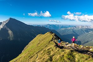 Výstup na štíty Grosser a Mittlerer Bärenkopf
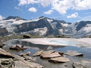 Výstup na Großes Wiesbachhorn
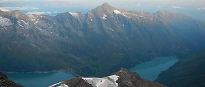 Grosses Wiesbachhorn (3564 m) – výstup na žraločí ploutev Vysokých Taur
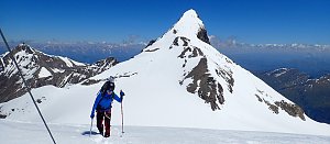 VHT přechod hřebene Vysokých Taur - Alpská maturita
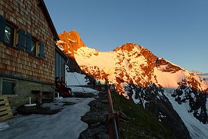
 Jörgnalm: Adlersruhe − Blick nach Westen zum Großglockner
 Kals am Großglockner: Lucknerhütte am Fuße des Großglockners
 Heiligenblut am Grossglockner: Oberwalderhütte - Blick nach Süden zum Großglockner
 Marx: Großglockner Webcams
 Jörgnalm: Glocknerwinkel − Blick nach Norden zum Großglockner
 Gemeinde Kals am Grossglockner: Kalser Glocknerstraße - Glocknerwinkel
 Gemeinde Kals am Grossglockner › West: Kalser Glocknerstraße - Glocknerwinkel
 Jörgnalm: Lucknerhaus − Blick zum Großglockner
 Kals › South: Kals am Großglockner

| today | tomorrow | day after tomorrow | |
|---|---|---|---|
| Dawn: | 7:06 | 7:07 | 7:09 |
| Sunrise: | 7:37 | 7:38 | 7:40 |
| Sunset: | 18:09 | 18:08 | 18:06 |
| Dusk: | 18:41 | 18:39 | 18:37 |