Romariswandköpfe (3511 m a.s.l., Glockner)
Register and log summit


About peak Romariswandköpfe
 Rakousko
Vrchol Romariswandköpfe was added here by Milan "Hojší" Průžek and info was completed by Martin Matějka.
https://cs.wikipedia.org/wiki/Romariswandk%C3%B6pfe
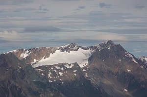
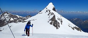
Romariswandköpfe (also Romariswandkopf) (3511 m a.s.l.) is a two-summit glaciated mountain in the Glocknergruppe (part of the Hohe Tauern) in Austria. It is located on the border of Tyrol and Carinthia above the town of Kals am Grossglockner. On the southern slope lies the Fruschnitzkees glacier, part of the Teischnitzkees glacial system, while the northern slope features the Schneewinkel glacier, which is one of the source areas of Austria's longest glacier, the Pasterze.
The mountain is part of the main Tauern ridge, which culminates in Austria's highest peak, Grossglockner.
Ascents
The first ascent was made by Prague merchant Johann Stüdl and two mountain guides, Michel Groder and Andreas Kerer, from nearby Kals on August 29, 1868, from the south starting from the newly built Stüdlhütte mountain hut over the Teischnitzkees glacier and the Teufelskamp summit. This route is a popular glacial hike in summer on foot and in spring on skis.
The first ascent of the north face was achieved by another Prague alpinist, Karl Kögler, and two mountain guides, Josef Kerer and Peter Huter, in 1876 during their descent when they managed to climb from the south from Stüdlhütte and descend north to the Pasterze glacier. The snow on the north face reaches a steepness of 50°.
Other significant ascents lead via the Northwest Ridge (rock difficulty 2 UIAA), Northeast Gully (snow 55°), and Southwest Gully (dangerous brittle combination of snow 40° and rock 3 UIAA).
- Chalet/accommodation
-
There is no chalet on the peak.
- Stroller access
-
Peak is not stroller accessible.
- Views
-
There are views from the peak.
- Cable car
-
There is no cable car to this peak.
- Equipment
- Accessibility
-
Peak is freely accessible.
Nearest peaks: Romariswandkopf-Nordwestgipfel (3491 m, 0.2 km) Teufelskamp (3511 m, 0.9 km) Schneewinkelkopf (3476 m, 1 km) Eiskögele (3422 m, 1.4 km) Hofmannspitze (3711 m, 1.8 km) Pöschlturm (3722 m, 1.8 km) Draschturm (3716 m, 1.9 km) Gerinturm (3718 m, 1.9 km) Hörtnaglturm (3719 m, 2 km) Johannisberg (3453 m, 2 km) Gramul (3276 m, 2.1 km) Hoher Kasten (3189 m, 2.2 km) Glocknerhorn (3680 m, 2.3 km) Teufelshorn (3677 m, 2.3 km) Grögerschneid (3660 m, 2.4 km) Gamsspitze (3157 m, 2.5 km) Grossglockner (3798 m, 2.6 km) Kleinglockner (3770 m, 2.7 km) Luisenkopf (3207 m, 3.1 km) Kampl (3188 m, 3.6 km) Burgwartkogel (3138 m, 3.8 km)
Routes nearby
(elevation gain 1500 m, 25 km)
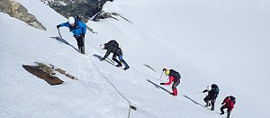 Výstup na Grossglockner ze severu, Pallaviciniho kuloárem
(elevation gain 2000 m, 15 km)
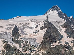 Výstup na nejvyšší vrchol Rakouska Grossglockner
(elevation gain 3000 m, 27 km)
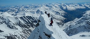 Výstup na nejvyšší vrchol Rakouska - Grossglockner přes hřeben Stüdlgrat
(elevation gain 1800 m, 16 km)
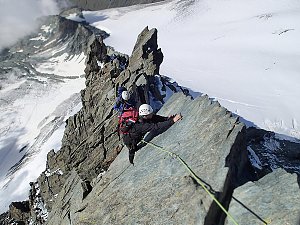 Výstup na Fuscherkarkopf
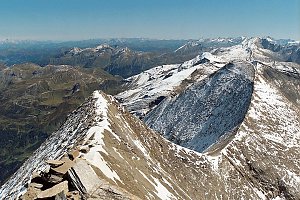 Výstup na štíty Grosser a Mittlerer Bärenkopf
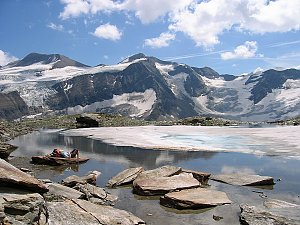 Výstup na třítisícový vrchol Granatspitze (3086 m) ve Vysokých Taurách
(elevation gain 1000 m, 15 km)
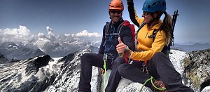 Výstup na vrcholy Granatspitze a Sonnblick
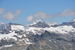 Výstup na vrchol Grosser Muntanitz
 Tauernhöhenweg: Náročná hřebenovka Vysokých Taur
(elevation gain 5200 m, 69 km)
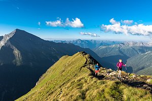 VHT přechod hřebene Vysokých Taur - Alpská maturita
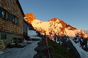 Výstup na Großes Wiesbachhorn
(elevation gain 2500 m, 30 km)
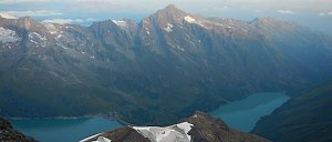 Grosses Wiesbachhorn (3564 m) – výstup na žraločí ploutev Vysokých Taur
(elevation gain 1500 m, 15 km)
 Kitzsteinhorn turisticky
Webcams
(3414 m a.s.l., 3.4 km)
 Jörgnalm: Adlersruhe − Blick nach Westen zum Großglockner
(3400 m a.s.l., 3.4 km)
 Heiligenblut am Grossglockner: Oberwalderhütte - Blick nach Süden zum Großglockner
( 3.9 km)
 Enzingerboden: Berghotel Rudolfshütte − Weißsee Gletscherwelt − Blick nach Südwesten
(2340 m a.s.l., 5.8 km)
 Kals am Großglockner: Lucknerhütte am Fuße des Großglockners
(2240 m a.s.l., 5.9 km)

Sun
| today | tomorrow | day after tomorrow | |
|---|---|---|---|
| Dawn: | 6:13 | 6:14 | 6:16 |
| Sunrise: | 6:44 | 6:46 | 6:47 |
| Sunset: | 17:01 | 16:59 | 16:58 |
| Dusk: | 17:32 | 17:31 | 17:29 |