Ostrava Basin
Ostrava Basin is a lowland in northern Moravia and Silesia, between Ostrava, Karviná, and Frýdek-Místek, drained by the Odra, Ostravice, and Olše rivers. It is a densely populated and urbanized area, marked by mining activities. Determining the highest peak is a puzzle:
337 m Kouty - an inconspicuous secondary peak, cited in most sources as the highest point of the Ostrava Basin, but it lies in the Podbeskydská Highlands
334 m Závišník - another inconspicuous secondary peak, near Kouty, this time already within the territory of the Ostrava Basin, which is its highest point and a secondary peak
315 m Halda Ema - the highest and most prominent main peak, but it is an artificial hill made from dumped waste
306 m Rájský kopec - the highest point of Karviná and the highest natural main peak of the Ostrava Basin
| Highest peak | Kouty (337 m a.s.l.) |
|---|---|
| Most prominent peak | Halda Ema (315 m a.s.l., prominence 65 m) |
| Parent unit | Northern Outer Carpathian Basins |
| Main peaks | Total 14 |
| Most popular peaks | Rudná (238 m a.s.l.), Halda Ema (315 m a.s.l.), Pežgovský les JV (287 m a.s.l.), Pežgovský les (301 m a.s.l.), Pežgovský les SV (301 m a.s.l.) |
| Mountain range challenges | Cross on the Summit of Domestic Mountains and Hills, Crown of Czechia, Zvěřinec |

| Name | Elevation | ||||
|---|---|---|---|---|---|

|
Kouty | 337 m a.s.l. | Ostrava Basin | 5 m | vedlejší vrchol |

|
Závišník | 334 m a.s.l. | Ostrava Basin | 8 m | vedlejší vrchol |

|
Rohov | 332 m a.s.l. | Ostrava Basin | 3 m | spočinek/ostatní |

|
Halda Ema | 315 m a.s.l. | Ostrava Basin | 65 m | hlavní vrchol |
|
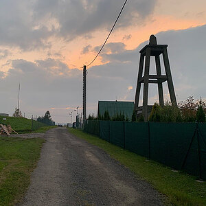
Rájský kopec | 306 m a.s.l. | Ostrava Basin | 36 m | hlavní vrchol |

|
Halda Malá Ema | 306 m a.s.l. | Ostrava Basin | 19 m | hlavní vrchol |

|
Milíře | 304 m a.s.l. | Ostrava Basin | 6 m | vedlejší vrchol |

|
Bobčok | 303 m a.s.l. | Ostrava Basin | 3 m | spočinek/ostatní |

|
Pežgovský les | 301 m a.s.l. | Ostrava Basin | 28 m | hlavní vrchol |

|
Pežgovský les SV | 301 m a.s.l. | Ostrava Basin | 3 m | spočinek/ostatní |

|
Paskovská halda | 300 m a.s.l. | Ostrava Basin | 49 m | hlavní vrchol |

|
Pežgovský les Z | 296 m a.s.l. | Ostrava Basin | 2 m | spočinek/ostatní |

|
Pežgovský les V | 294 m a.s.l. | Ostrava Basin | 2 m | spočinek/ostatní |
|
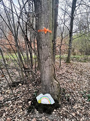
Pežgovský les JZ | 292 m a.s.l. | Ostrava Basin | 7 m | vedlejší vrchol |

|
Na Příčnici | 288 m a.s.l. | Ostrava Basin | 12 m | vedlejší vrchol |

|
Pežgovský les JV | 287 m a.s.l. | Ostrava Basin | 2 m | spočinek/ostatní |
|
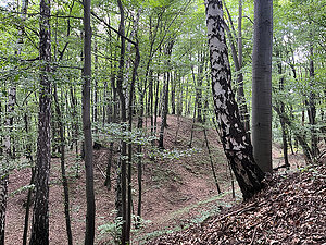
Záryje | 286 m a.s.l. | Ostrava Basin | 8 m | vedlejší vrchol |

|
Lazy | 286 m a.s.l. | Ostrava Basin | 4 m | spočinek/ostatní |
|
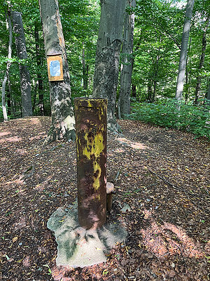
Zapadlisko | 284 m a.s.l. | Ostrava Basin | 6 m | vedlejší vrchol |

|
Doubrava | 282 m a.s.l. | Ostrava Basin | 11 m | vedlejší vrchol |

|
Landek | 280 m a.s.l. | Ostrava Basin | 50 m | hlavní vrchol |

|
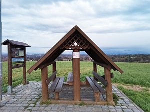
Podvrší | 279 m a.s.l. | Ostrava Basin | 13 m | vedlejší vrchol |
|
Doubrava Z | 279 m a.s.l. | Ostrava Basin | 4 m | spočinek/ostatní |

|
To the Planetarium | 277 m a.s.l. | Ostrava Basin | 1 m | spočinek/ostatní |

|
Přívozská halda | 272 m a.s.l. | Ostrava Basin | 65 m | hlavní vrchol |

|
Bartovický les | 272 m a.s.l. | Ostrava Basin | 3 m | spočinek/ostatní |

|
Cípky V | 271 m a.s.l. | Ostrava Basin | 1 m | spočinek/ostatní |

|
Halda Heřmanice | 270 m a.s.l. | Ostrava Basin | 60 m | hlavní vrchol |

|
Landek hradiště | 269 m a.s.l. | Ostrava Basin | 3 m | spočinek/ostatní |

|
Halda Hrabůvka | 268 m a.s.l. | Ostrava Basin | 30 m | hlavní vrchol |

|
Gurňák | 266 m a.s.l. | Ostrava Basin | 10 m | vedlejší vrchol |

|
Lipina | 265 m a.s.l. | Ostrava Basin | 2 m | spočinek/ostatní |
|
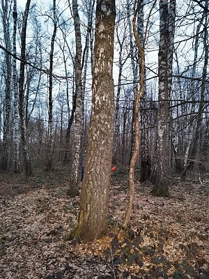
Panský les | 262 m a.s.l. | Ostrava Basin | 7 m | vedlejší vrchol |
|
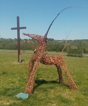
Horní Louka | 256 m a.s.l. | Ostrava Basin | 21 m | hlavní vrchol |
|
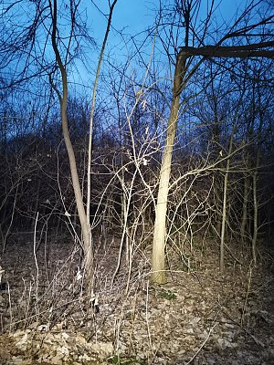
Eldorádo | 256 m a.s.l. | Ostrava Basin | 6 m | vedlejší vrchol |

|
Dembina | 255 m a.s.l. | Ostrava Basin | 8 m | vedlejší vrchol |

|
Vlčkův kopec | 255 m a.s.l. | Ostrava Basin | 8 m | vedlejší vrchol |

|
Něbrojův kopec | 251 m a.s.l. | Ostrava Basin | 18 m | hlavní vrchol |

|
Výšina | 251 m a.s.l. | Ostrava Basin | 4 m | spočinek/ostatní |
|
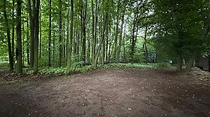
Landek JZ | 249 m a.s.l. | Ostrava Basin | 6 m | vedlejší vrchol |
|
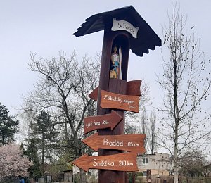
Záblatský kopec | 248 m a.s.l. | Ostrava Basin | 2 m | spočinek/ostatní |

|
Rudná | 238 m a.s.l. | Ostrava Basin | 5 m | vedlejší vrchol |
|
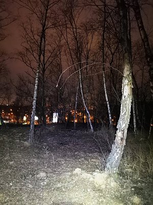
Hrušovská halda | 232 m a.s.l. | Ostrava Basin | 16 m | hlavní vrchol |
|
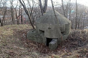
Halda Hubert | 231 m a.s.l. | Ostrava Basin | 20 m | hlavní vrchol |

|
Halda Eduard Urx | 228 m a.s.l. | Ostrava Basin | 23 m | hlavní vrchol |

|
Baginec | 224 m a.s.l. | Ostrava Basin | 4 m | spočinek/ostatní |

|
U Šedé vily | 204 m a.s.l. | Ostrava Basin | 5 m | vedlejší vrchol |