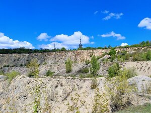
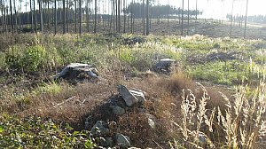
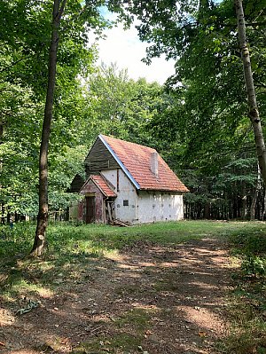
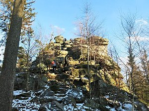
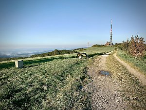
A height chart related to a specific point is defined as the set of all peaks (hills, mounds, mountains, etc.) that are the highest in its vicinity. We can also say that it consists of those peaks that are closest in elevation to this point.
In the case of the Brno height chart, the reference point is the plague column in Náměstí Svobody in Brno. The peaks that meet the above condition extend beyond the borders of the country, but we limit ourselves to those located in the Czech Republic.
http://www.vyskovnice.cz/kostra.php?obsah=vyskovnica
 Brněnská výškovnice