



Cycling, 23 km
5.10.2026
 Česko
Brno-venkov (Jihomoravský kraj)
Logged on Vrcholovka 67x in total. Vrchol Hády was added here by Mountainer and info was completed by Martin Matějka a Pája.
Hády is part of challenges: Brněnská výškovnice, Geological Crown of the Czech Republic, The Highest Peaks of South Moravia
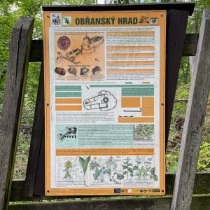
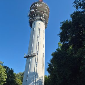
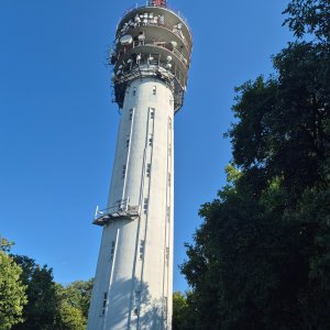
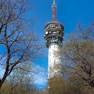
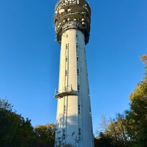
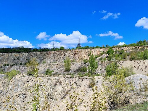
A limestone hill with a flat summit, but prominent from the direction of Brno due to its steep and partially quarried southern slope. At the top stands a 50-meter tall telecommunications tower, and the entire summit plateau is protected by the Hádecká planinka National Nature Reserve, which is home to numerous occurrences of thermophilic steppe vegetation. A yellow tourist trail runs over the summit from the Brno district of Líšeň through Šumbera to the Říčka valley, as well as the Hády educational trail.
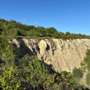
The southwestern slope is significantly marked by limestone extraction, and the extensive quarries are an important paleontological site. Another geological point of interest is the occurrence of Pleistocene loess (unconsolidated deposits blown by the wind during the Ice Age), which locally covers Devonian limestones.
There is no chalet on the peak.
I recommend a stroller with terrain adaptation; however, there are many well-maintained forest paths through the Hádecká planinka, making it a popular outing spot for Brno residents.
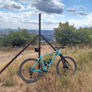
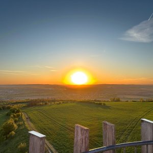
From the southwestern slope, there is a view not only of almost the entire city of Brno but also of the Pavlov Hills (Pálava) and the Ždánice Forest. In cases of exceptional visibility, the Alpine Schneeberg in Austria can even be spotted from here.
There is no cable car to this peak.
No special equipment is required for this summit.
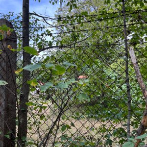
The summit itself is located in a fenced area, excluded from the Hádecká planinka National Nature Reserve, about 50 m from the marked path.
Nearest peaks: Šumbera (435 m, 1.1 km) Hradisko (334 m, 1.5 km) U Lidušky (336 m, 2 km) Židenický kopec (307 m, 2.8 km) Bílá hora (300 m, 3.3 km) Kanický kopec (415 m, 3.3 km)
| today | tomorrow | day after tomorrow | |
|---|---|---|---|
| Dawn: | 6:52 | 6:54 | 6:55 |
| Sunrise: | 7:25 | 7:26 | 7:28 |
| Sunset: | 17:50 | 17:48 | 17:46 |
| Dusk: | 18:22 | 18:21 | 18:19 |