

Hiking, 25 km
2.10.2026
 Česko
Bruntál (Moravskoslezský kraj)
Logged on Vrcholovka 436x in total. Peak information here was completed by Pája, krupjan, Bouřka, Jiřina a Martin Matějka.
Vysoká hole is part of challenges: Brněnská výškovnice, Koruna Sudet, Nejhory Moravskoslezska, Thousanders of the Czech Republic, Thousanders of the Jeseníky, Ultrapeaks, Via Czechia Severní stezka
The second highest mountain of the Hrubý Jeseník range and also the second highest mountain of Moravia and Czech Silesia - about 400 meters west of the summit ran the historical land border between the two regions.
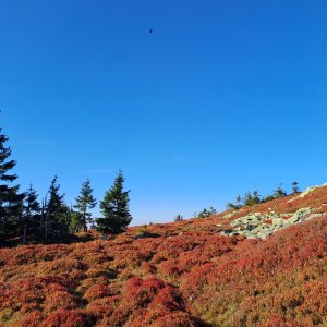
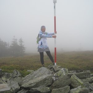
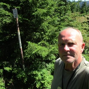
The summit plateau consists of a vast remnant of a leveled surface with minimal elevation and two peaks. Both reach a height of 1465 m and are separated by a 4-meter deep saddle at the historical boundary stone. The northern peak, near the geodetic point with a marker in a stone, is slightly higher (1464.8 m), but lies in the NPR Praděd off the path and is inaccessible. The southern peak is 1464.7 m, marked by a granite block of the concentration point and two black-and-white poles, and is located 160 m from the historical boundary stone, right next to the red-marked path, making it accessible. To record your ascent, it is sufficient to visit the southern peak; do not go to the northern peak, as the rangers monitor it and impose fines.
Several ridges run from Vysoká hole, the northeastern one, called Suť, features a vast sea of stones. The southeastern slopes drop into the glacial cirque of Velká kotlina, the botanically richest location in the Czech Republic.
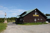
There is no chalet on the peak.
Peak is not stroller accessible.
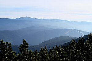
There are views from the peak.
There is no cable car to this peak.
No special equipment is required for this summit.
To record your ascent, it is sufficient to visit the southern peak; do not go to the northern peak, as the rangers monitor it and impose fines.
Nearest peaks: Petrovy kameny (1447 m, 1.1 km) Zámčisko S (1264 m, 1.6 km) Nad soutokem (1062 m, 1.8 km) Velký Máj (1386 m, 1.9 km) Malý Máj SZ (1188 m, 2 km) Above Bear Hollow S (1030 m, 2.1 km) Nad Medvědím dolem (1040 m, 2.1 km) Pod Bobinou (1132 m, 2.1 km) Temná (1263 m, 2.1 km) Praděd (1491 m, 2.7 km) Malý Máj (1082 m, 3 km)
 Mala Moravka: Praděd - Horský hotel Volareza
 Mala Moravka: Praděd - Horský hotel Volareza - Bílá Opava
 Mala Moravka: Praděd - Horský hotel Volareza - Petrovy kameny
 Karlova Studánka: Sporthotel Kurznovní
 Rejhotice: Sporthotel Kurzovní - Vysoké hole
 Rejhotice: Sporthotel Kurzovní - Přístup na běžeckou trať
 Rejhotice: Sporthotel Kurzovní - Parkoviště a hlavní vchod
 Rejhotice: Sporthotel Kurzovní - Petrovy kameny
 Mala Moravka
 Karlov
 Karlov pod Pradedem: Ski Karlov - areál Karlov - Sjezdovky V Javořinách a Rodinná
 Karlov pod Pradedem: Ski Karlov - areál Karlov - Sportovní
 Karlov pod Pradedem: Ski Karlov - areál Karlov - Vyhlídková

| today | tomorrow | day after tomorrow | |
|---|---|---|---|
| Dawn: | 6:00 | 6:02 | 6:03 |
| Sunrise: | 6:34 | 6:35 | 6:37 |
| Sunset: | 16:35 | 16:33 | 16:31 |
| Dusk: | 17:08 | 17:07 | 17:05 |