
Hiking, 8 km
4.10.2026
 Česko
Bruntál (Moravskoslezský kraj)
Logged on Vrcholovka 1259x in total. Peak information here was completed by Pája, Mykas a Martin Matějka.
Praděd is part of challenges: Brněnská výškovnice, Crown of Czechia, Crown of Regions and Districts, Crown of the Border Mountains, Geological Crown of the Czech Republic, Highest Peaks of All Regions of the Czech Republic, Koruna Sudet, Most Isolated, Nejhory Moravskoslezska, The Highest Peaks of Visegrád, The Most Prominent Mountains of the Czech Republic, Thousanders of the Czech Republic, Thousanders of the Jeseníky, Ultrapeaks, Via Czechia Severní stezka
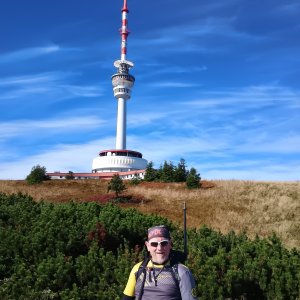
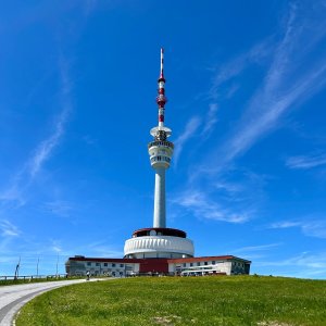
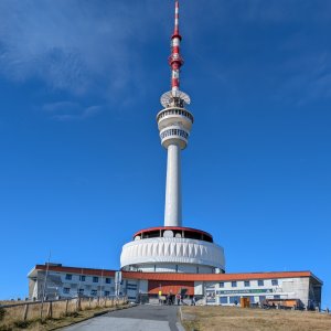
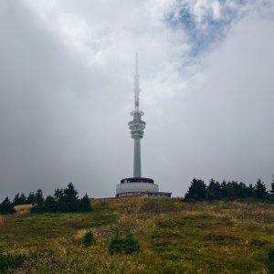
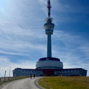
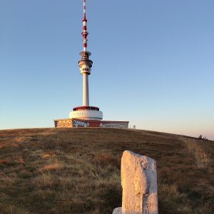
Praděd (German: Altvater, Polish: Pradziad) is the highest mountain of the Hrubý Jeseník range, Jeseníky region, Moravia, Czech Silesia, and Upper Silesia. It is also the fifth highest, second most prominent, and third most isolated mountain in the Czech Republic.
The summit of the mountain lies in Silesia, beneath which runs the historical border between Moravia and Silesia. Currently, it also marks the boundary between the Moravian-Silesian and Olomouc regions, as well as the districts of Bruntál (Malá Morávka, Vrbno pod Pradědem) and Šumperk (Loučná nad Desnou).
On the northern slope of the summit, there is an extensive frost weathering rock formation called Tabulové skály with unique flora. One of the hiking trails leading to the summit features the Bílá Opava Educational Trail.
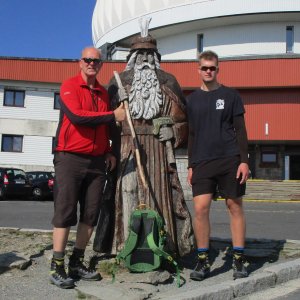
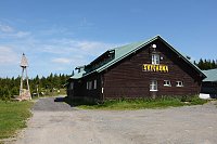
There is a restaurant directly on Praděd, and many others in the vicinity (chalet Ovčárna, Barborka, near Švýcárna, ...)
This peak is accessible with a stroller.
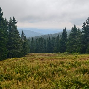
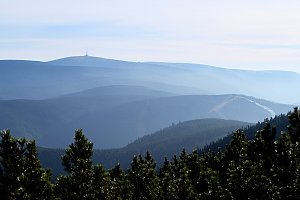
There are views from the peak.
There is no cable car to this peak.
No special equipment is required for this summit.
Peak is freely accessible.
Nearest peaks: Petrovy kameny (1447 m, 1.6 km) Sokol (1191 m, 1.6 km) Sokolí skála (1169 m, 1.9 km) Malý Děd (1369 m, 2.1 km) Kamzičí vrch (1173 m, 2.4 km) Pod Bobinou (1132 m, 2.6 km) Vysoká hole (1465 m, 2.7 km) Nad soutokem (1062 m, 2.8 km) Velký Jezerník (1309 m, 2.8 km) Above Bear Hollow S (1030 m, 3.2 km) Nad Medvědím dolem (1040 m, 3.3 km) Zámčisko S (1264 m, 3.5 km) Temná (1263 m, 3.7 km)
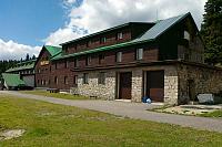
 Rejhotice: Sporthotel Kurzovní - Přístup na běžeckou trať
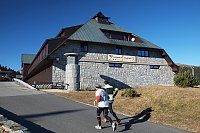
 Rejhotice: Sporthotel Kurzovní - Parkoviště a hlavní vchod
 Rejhotice: Sporthotel Kurzovní - Petrovy kameny
 Karlova Studánka: Sporthotel Kurznovní
 Mala Moravka: Praděd - Horský hotel Volareza - Horská služba
 Mala Moravka: Praděd - Horský hotel Volareza
 Mala Moravka: Praděd - Horský hotel Volareza - Bílá Opava
 Mala Moravka: Praděd - Horský hotel Volareza - Petrovy kameny
 Mala Moravka

| today | tomorrow | day after tomorrow | |
|---|---|---|---|
| Dawn: | 6:51 | 6:52 | 6:54 |
| Sunrise: | 7:24 | 7:26 | 7:27 |
| Sunset: | 17:46 | 17:44 | 17:42 |
| Dusk: | 18:19 | 18:17 | 18:15 |