
Hiking, 79 km
26.9.2026 to 28.9.2026
 Česko
Šumperk (Olomoucký kraj)
Logged on Vrcholovka 161x in total. Peak information here was completed by Pája, Lukáš Žídek, dibdob a Martin Matějka.
Jelení hřbet is part of challenges: Brněnská výškovnice, Koruna Sudet, Menagerie, Nejhory Olomoucka, Thousanders of the Czech Republic, Thousanders of the Jeseníky
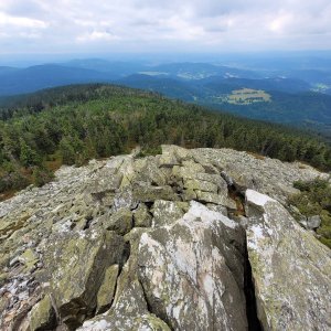
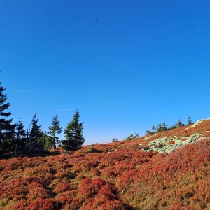
Jelení hřbet (1367 m a.s.l.) is a mountain in the Hrubý Jeseník range. It is the third peak on the ridge from the south, after Pecné and Břidličná. On the southeast slope of the summit, there is a well-known spring called Jelení studánka. The summit of Jelení hřbet is flat, covered with extensive heather. The red ridge hiking trail bypasses the summit on the eastern side. In the stone shelter, there is a summit book of Brno's altitude.
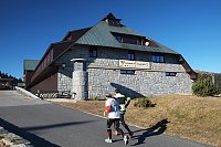
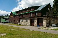
On the slope, there is Jelení studánka with a stone hut.
Peak is not stroller accessible.
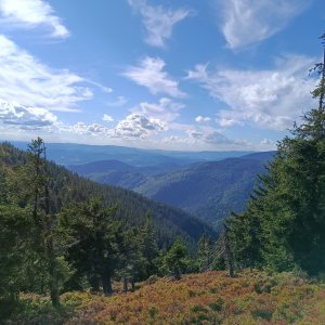
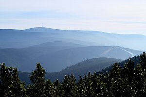
There are views from the peak.
There is no cable car to this peak.
No special equipment is required for this summit.
The summit is located in the Břidličná Protected Area, and its eastern slope is even in the Praděd National Nature Reserve. The marked path avoids the summit, making it accessible only through open terrain outside the NPR, for example, from Jelení studánka to the north.
Nearest peaks: Čertova stěna (1082 m, 1.1 km) Velký Máj (1386 m, 1.1 km) Břidličná (1358 m, 1.2 km) Jelenka (1214 m, 1.6 km) Hubertka (1198 m, 1.7 km) Zámčisko S (1264 m, 1.9 km) Pecny (1334 m, 2.3 km) Nad Medvědím dolem (1040 m, 2.4 km) Above Bear Hollow S (1030 m, 2.5 km) Homole (1209 m, 2.7 km) Nad soutokem (1062 m, 2.7 km) Pod Bobinou (1132 m, 3.1 km) Ztracené kameny (1250 m, 3.1 km) Velká Jezerná (1248 m, 3.4 km)
 Rejhotice: Sporthotel Kurzovní - Vysoké hole
 Rejhotice: Sporthotel Kurzovní - Přístup na běžeckou trať
 Rejhotice: Sporthotel Kurzovní - Parkoviště a hlavní vchod
 Rejhotice: Sporthotel Kurzovní - Petrovy kameny
 Karlova Studánka: Sporthotel Kurznovní
 Mala Moravka: Praděd - Horský hotel Volareza - Horská služba
 Mala Moravka: Praděd - Horský hotel Volareza
 Mala Moravka: Praděd - Horský hotel Volareza - Bílá Opava
 Mala Moravka: Praděd - Horský hotel Volareza - Petrovy kameny
 Klepacov: Skiareál - Červená sjezdovka

| today | tomorrow | day after tomorrow | |
|---|---|---|---|
| Dawn: | 6:07 | 6:08 | 6:10 |
| Sunrise: | 6:40 | 6:42 | 6:44 |
| Sunset: | 16:28 | 16:26 | 16:25 |
| Dusk: | 17:02 | 17:00 | 16:59 |