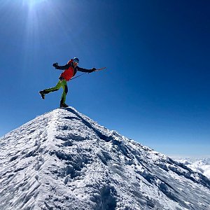
Hiking, 11 km
9.6.2025
 Itálie
Logged on Vrcholovka 10x in total. Vrchol Felikhorn was added here by Martin Horáček and info was completed by Jiří Králík.
Felikhorn is an unassuming 4000-meter high peak. It is located southwest of the Felikjoch pass, which can be reached in three hours from the new Monte Rosa hut or in an hour and a half from the Quintino Sella refuge (Italian Alpine Club, CAI). Felikjoch is the highest crossing in the Alps for mountain hiking. It connects the Matter Valley with Val de Gressoney and links the new Monte Rosa hut with the Quintino Sella refuge via the Zwilling and Felik glaciers. This is particularly useful for those who want to climb Castor or Liskamm from the Quintino Sella hut.
There is no chalet on the peak.
Peak is not stroller accessible.
There are views from the peak.
There is no cable car to this peak.
Glacier equipment
Peak is freely accessible.
Nearest peaks: Punta Felik (4174 m, 0.5 km) Piccolo Castor (4180 m, 0.7 km) Castor / Punta Castore (4223 m, 0.9 km) Liskamm West / Lyskamm Occidentale (4479 m, 1.8 km) Pollux / Polucce (4092 m, 1.9 km) Sattelkuppe (4433 m, 2.2 km) Breithorn - Roccia Nera (4075 m, 2.8 km)
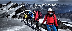 Výstup na čtyřtisícovku Castor od jihu z italského Grenne
 Výstup na snadnou čtyřtisícovku Breithorn ve Walliských Alpách
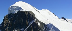 Výstup na čtyřtisícovku Signalkuppe ve švýcarských Alpách
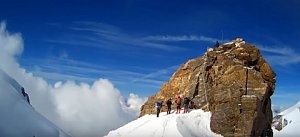 Největším alpským masivem Monte Rosa na Punta Dufour neboli Dufourspitze
Výstup masivem Monte Rosy na Dufourspitze v Alpách
Výstup na čtvrtý nejvyšší vrchol Alp – Lyskamm
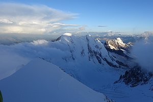 Pohodový trek pod nádherným Matterhornem
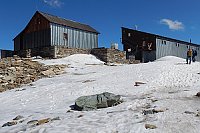
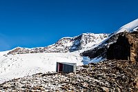
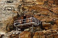
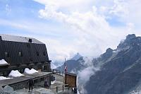
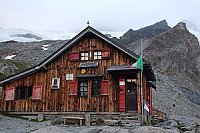
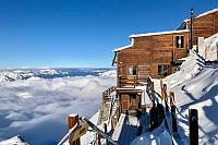
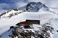
 Gressoney-La-Trinite
 Gressoney-La-Trinite
 Zermatt: Monte Rosa
 Gressoney-La-Trinite: Gressoney-La-Trinité, Monterosa - Punta Indren
 Gressoney-La-Trinite
 Gressoney-La-Trinitè › East: moos-gabiet
 Gressoney-La-Trinitè › South: Ristoro Sitten
 Gressoney-La-Trinitè › North-East: Monte Rosa
 Gressoney-La-Trinite › North-East
 Gressoney-La-Trinite

| today | tomorrow | day after tomorrow | |
|---|---|---|---|
| Dawn: | 6:31 | 6:32 | 6:34 |
| Sunrise: | 7:02 | 7:03 | 7:04 |
| Sunset: | 17:23 | 17:21 | 17:20 |
| Dusk: | 17:53 | 17:52 | 17:50 |