



Hiking
čt, 31.7.2025, 8:14
Itálie
Logged on Vrcholovka 1x in total. Vrchol Grand Tournalin - Punta Sud was added here by Bouřka.
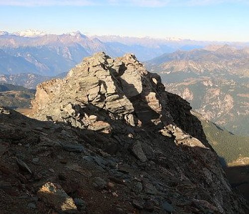
Peakvisor states a prominence of 33 m, but this can be ruled out after a personal visit. The prominence listed here is my estimate and may be inaccurate. There is a marked trail to the summit, but one must be prepared for occasional scrambling (I) and at times significant exposure, especially the final ridge to the summit, which can be quite challenging in places.
There is no chalet on the peak.
Peak is not stroller accessible.
There are views from the peak.
There is no cable car to this peak.
No special equipment is required for this summit.
Peak is freely accessible.
Nearest peaks: Grand Tournalin (3379 m, 0.1 km) Petit Tournalin (3207 m, 0.7 km) Monte Croce (2895 m, 1.4 km) Mont Roisetta (Punta Sud) (3324 m, 1.6 km) Becca Trecaré (3032 m, 1.7 km) Mont Roisetta (Punta Nord) (3334 m, 1.8 km) Becca d'Aran (2953 m, 2 km) Becca di Nana S (2916 m, 2.2 km) Becca di Nana Torre (2970 m, 2.4 km) Becca di Nana (3010 m, 2.5 km) Becca Trecaré J (2669 m, 2.5 km) Punta Falinère (2763 m, 3.1 km) Monte Facciabella (2621 m, 3.2 km)
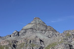 Výstupy na Gran Somettu a Motta di Pleté v Itálii
 Výstup na snadnou čtyřtisícovku Breithorn ve Walliských Alpách
 Vysokohorská túra hřebenovou perlou Wallisu - traverz Breithornu
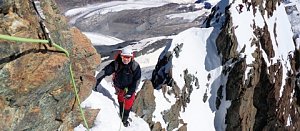 Výstup na Dent d´Hérens
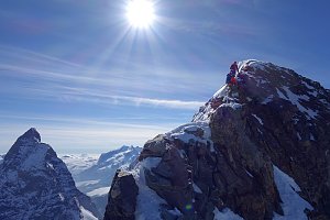

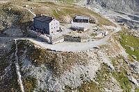

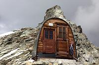
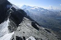
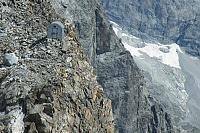
 Chamois: Cervinia - Colle Fontana Fredda
 Valtournenche: Cervinia - Bec Carre
 Singlin: Area Salette, Valtournenche
 Ayas › East: resy
 Valtournenche: Residence Cervino 2
 Champoluc-Champlan: Champoluc
 Breuil-Cervinia: Seggiovia Goillet, Cervino/Matterhorn
 Ayas
 Morgex › North-west
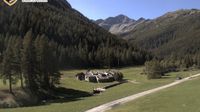 Ayas: Champoluc, Monterosa - Crest, Val d
 Periasc: Antagnod
 Ayas: Findeln - Matterhorn Zermatt
 Valtournenche: Cervinia

| today | tomorrow | day after tomorrow | |
|---|---|---|---|
| Dawn: | 6:47 | 6:49 | 6:50 |
| Sunrise: | 7:19 | 7:20 | 7:22 |
| Sunset: | 17:06 | 17:05 | 17:04 |
| Dusk: | 17:38 | 17:36 | 17:35 |