Grand Tournalin (3379 m a.s.l., Walliské Alpy)
Register and log summit
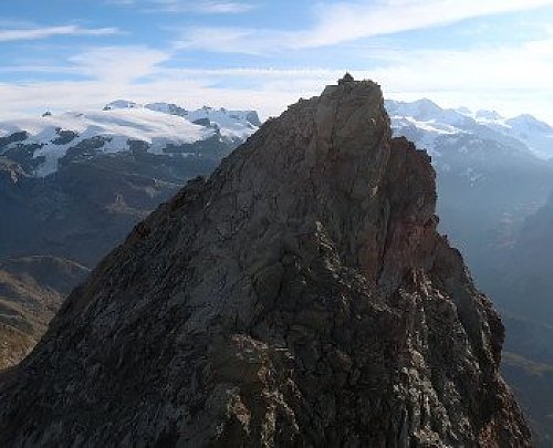

About peak Grand Tournalin
 Itálie
Peak information here was completed by Martin Matějka a Bouřka.
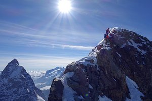
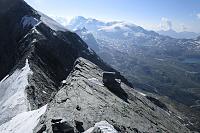
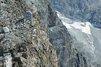
A prominent twin summit near the Matterhorn, which offers a great view of it. While there is a marked trail to the southern peak (Punta Sud), there is no trail leading to the main peak (Punta Nord) and for good reason. A distinct saddle separates the peaks, and descending into it will be a challenge without a rope, just like the ascent to the main peak and the return journey. For skilled climbers or tough individuals, it might be possible to attempt it casually, but it's probably a bad idea; I saw rappel points in key areas, it's better to secure yourself, plus everything is in a terrifying exposure. I was alone in the area, so I didn't venture into bigger actions as the classic saying goes and stayed on the southern summit.
- Chalet/accommodation
-
There is no chalet on the peak.
- Stroller access
-
Peak is not stroller accessible.
- Views
-
Phenomenal, including views of many four-thousanders.
- Cable car
-
There is no cable car to this peak.
- Equipment
-
Special equipment is required for this summit.
- Accessibility
-
Peak is freely accessible.
Nearest peaks: Grand Tournalin - Punta Sud (3370 m, 0.1 km) Petit Tournalin (3207 m, 0.8 km) Monte Croce (2895 m, 1.3 km) Mont Roisetta (Punta Sud) (3324 m, 1.6 km) Becca Trecaré (3032 m, 1.8 km) Mont Roisetta (Punta Nord) (3334 m, 1.8 km) Becca d'Aran (2953 m, 2.1 km) Becca di Nana S (2916 m, 2.2 km) Becca di Nana Torre (2970 m, 2.4 km) Becca di Nana (3010 m, 2.5 km) Becca Trecaré J (2669 m, 2.5 km) Punta Falinère (2763 m, 3.2 km) Monte Facciabella (2621 m, 3.3 km)
Routes nearby
(elevation gain 1800 m, 14 km)
 Výstupy na Gran Somettu a Motta di Pleté v Itálii
(elevation gain 1800 m, 22 km)
 Výstup na snadnou čtyřtisícovku Breithorn ve Walliských Alpách
(elevation gain 770 m, 9 km)
 Vysokohorská túra hřebenovou perlou Wallisu - traverz Breithornu
(elevation gain 350 m, 12 km)
 Pohodový trek pod nádherným Matterhornem
(elevation gain 1200 m, 18 km)
Výstup na Dent d´Hérens (elevation gain 2200 m, )
Mountain chalets
(3480 m a.s.l., 7.1 km)

(3036 m a.s.l., 7.3 km)
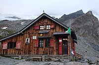
(3317 m a.s.l., 8.2 km)
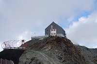
(3420 m a.s.l., 8.2 km)
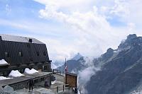
(3700 m a.s.l., 9.1 km)
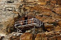
(2802 m a.s.l., 10.3 km)
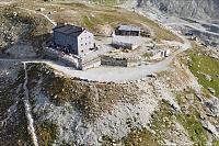
(3142 m a.s.l., 10.4 km)
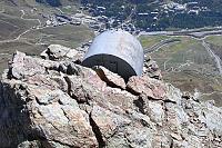
(3740 m a.s.l., 11 km)
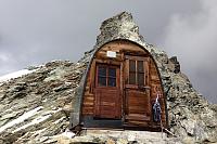
(3510 m a.s.l., 11.6 km)
(3831 m a.s.l., 12.2 km)
Webcams
(2321 m a.s.l., 3.5 km)
 Valtournenche: Cervinia - Bec Carre
(2836 m a.s.l., 3.9 km)
 Singlin: Area Salette, Valtournenche
(2272 m a.s.l., 4 km)
 Chamois: Cervinia - Colle Fontana Fredda
(2474 m a.s.l., 4 km)
 Ayas › East: resy
( 4.1 km)
 Valtournenche: Residence Cervino 2
(625 m a.s.l., 4.5 km)
 Champoluc-Champlan: Champoluc
(1567 m a.s.l., 5.3 km)
 Breuil-Cervinia: Seggiovia Goillet, Cervino/Matterhorn
( 5.3 km)
 Ayas
( 5.4 km)
 Morgex › North-west
( 5.8 km)
 Ayas: Champoluc, Monterosa - Crest, Val d
( 6.1 km)
 Periasc: Antagnod
(1524 m a.s.l., 6.6 km)
 Ayas: Findeln - Matterhorn Zermatt
(3865 m a.s.l., 6.9 km)
 Valtournenche: Cervinia
(623 m a.s.l., 7.8 km)

Sun
| today | tomorrow | day after tomorrow | |
|---|---|---|---|
| Dawn: | 6:35 | 6:37 | 6:38 |
| Sunrise: | 7:06 | 7:08 | 7:09 |
| Sunset: | 17:19 | 17:17 | 17:16 |
| Dusk: | 17:49 | 17:48 | 17:47 |