Mont Roisetta (Punta Sud) (3324 m a.s.l., Walliské Alpy)
Register and log summit
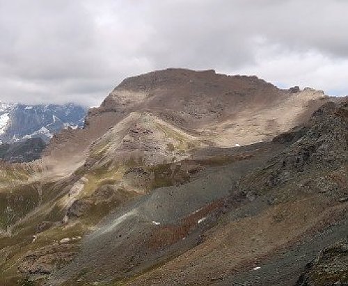

About peak Mont Roisetta (Punta Sud)
 Itálie
Vrchol Mont Roisetta (Punta Sud) was added here by Bouřka.
Viewpoint summit accessible via marked trail.
- Chalet/accommodation
-
There is no chalet on the peak.
- Stroller access
-
Peak is not stroller accessible.
- Views
-
There are views from the peak.
- Cable car
-
There is no cable car to this peak.
- Equipment
-
No special equipment is required for this summit.
- Accessibility
-
Peak is freely accessible.
Nearest peaks: Mont Roisetta (Punta Nord) (3334 m, 0.3 km) Becca d'Aran (2953 m, 1.5 km) Grand Tournalin (3379 m, 1.6 km) Grand Tournalin - Punta Sud (3370 m, 1.6 km) Petit Tournalin (3207 m, 2.2 km) Bec Carre (3003 m, 2.6 km) Monte Croce (2895 m, 2.7 km) Becca Trecaré (3032 m, 3 km) Gran Sometta (3166 m, 3.3 km) Motta di Pleté Centrale J (2783 m, 3.9 km)
Routes nearby
(elevation gain 1800 m, 14 km)
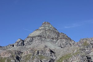 Výstupy na Gran Somettu a Motta di Pleté v Itálii
(elevation gain 1800 m, 22 km)
 Vysokohorská túra hřebenovou perlou Wallisu - traverz Breithornu
(elevation gain 350 m, 12 km)
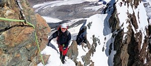 Výstup na snadnou čtyřtisícovku Breithorn ve Walliských Alpách
(elevation gain 770 m, 9 km)
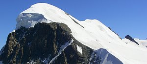 Pohodový trek pod nádherným Matterhornem
(elevation gain 1200 m, 18 km)
Výstup na Dent d´Hérens (elevation gain 2200 m, )
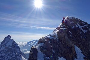

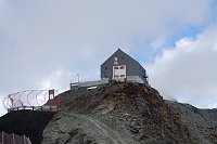
Webcams
(2321 m a.s.l., 2 km)
 Valtournenche: Cervinia - Bec Carre
(2836 m a.s.l., 2.3 km)
 Singlin: Area Salette, Valtournenche
(2272 m a.s.l., 2.7 km)
 Valtournenche: Residence Cervino 2
(625 m a.s.l., 3.5 km)
 Breuil-Cervinia: Seggiovia Goillet, Cervino/Matterhorn
( 3.9 km)
 Valtournenche
(1522 m a.s.l., 4.4 km)
 Chamois: Cervinia - Colle Fontana Fredda
(2474 m a.s.l., 4.5 km)
 Breuil: Zermatt, Plain Maison
(2073 m a.s.l., 5.6 km)
 Breuil-Cervinia: Plateau Rosa panomax-hd
(3443 m a.s.l., 6 km)
 Ayas: Findeln - Matterhorn Zermatt
(3865 m a.s.l., 6.1 km)
 Valtournenche: Cervinia
(623 m a.s.l., 6.2 km)
 Valtournenche › North-East
( 6.5 km)
 Cervinia: Plan Maison
(3231 m a.s.l., 6.5 km)
 Cervinia: Plan Maison panomax-hd
(2544 m a.s.l., 6.6 km)
 Breuil-Cervinia › North: Matterhorn
(2015 m a.s.l., 6.6 km)
 Breuil-Cervinia
(2032 m a.s.l., 6.7 km)
 Champoluc-Champlan: Champoluc
(1567 m a.s.l., 6.9 km)
 Chamois
(1789 m a.s.l., 6.9 km)
 Ayas
( 7 km)
 Breuil-Cervinia: Seggiovia Campetto, Cervino/Matterhorn
( 7 km)
 Cervinia: Matterhorn
(2009 m a.s.l., 7 km)
 Zermatt: Matterhorn Glacier Paradise
(3776 m a.s.l., 7.1 km)

Sun
| today | tomorrow | day after tomorrow | |
|---|---|---|---|
| Dawn: | 6:31 | 6:33 | 6:34 |
| Sunrise: | 7:02 | 7:03 | 7:05 |
| Sunset: | 17:23 | 17:22 | 17:20 |
| Dusk: | 17:54 | 17:52 | 17:51 |