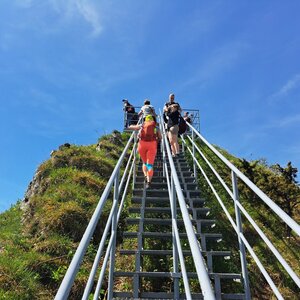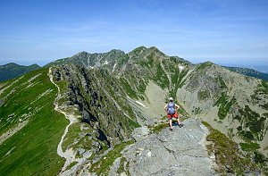




Hiking, 15 km
28.12.2025
 Polsko
Logged on Vrcholovka 4x in total. Vrchol Bajków Groń was added here by Bohumír Michal and info was completed by Jiří Králík.
Also known as Bajków Gronik or Bańków Gronik. A peak in the Pieniny ridge, located in Pieniny National Park. The current name is derived from the combination of two low peaks in close proximity: Bajków (originally Bańków) (721 m) and Groń (716 m).
It is an inconspicuous elevation situated in the western part of the Pieniny, northwest of Białe Skały. To the west, it borders Wysoki Dział. The northern slopes descend towards the valley of Łanna Potok, while the southern – steeper – slopes lead down to the upper part of the Pieniński Potok valley, which flows about 100 meters lower. The summit and most of the slopes are covered with forest, so there are no views, but in the neighboring saddles, there are clearings such as Istebki and Wymiarki.
In the area of Bajkowy Groń, there are two hiking trails. However, they avoid the inaccessible summit. From the west, a yellow trail bypasses the summit from Krościenko to the Szopka Pass (779 m), along with a blue trail Trzy Korony - Czerteż - Sokolica - Szczawnica, which branches off at the Bajków Groń junction – northwest of the summit at an altitude of 689 m – leading east, crossing the northern slope and continuing as Sokola Perć.
There is no chalet on the peak.
Peak is not stroller accessible.
There are no views from the peak.
There is no cable car to this peak.
No special equipment is required for this summit.
About 40m from the hiking trail.
Nearest peaks: Bańków (721 m, 0.1 km) Mała Szutrówka (736 m, 0.3 km) Szutrówka/Białe Skały (749 m, 0.4 km) Łupisko (659 m, 0.7 km) Wysoki Dział (731 m, 0.7 km) Zamkowa Góra (799 m, 0.8 km) Legarkowe Skałki (829 m, 1 km) Ociemny Wierch (740 m, 1 km) Czoło (815 m, 1.2 km) Groń (676 m, 1.2 km) Zimna Skała (611 m, 1.2 km) Czoło Z (813 m, 1.3 km) Nad Odródki (940 m, 1.3 km) Pańska Skała (920 m, 1.3 km) Płaska Skała (950 m, 1.3 km) Trzy Korony (982 m, 1.3 km) Czerteż (774 m, 1.4 km) Czertezik (772 m, 1.5 km) Sylwków Gronik (807 m, 1.7 km) Nowa Góra (902 m, 1.8 km) Łysina (795 m, 1.9 km) Podskalnia Góra (743 m, 1.9 km) Łączana (818 m, 2 km) Sokolica (747 m, 2.1 km) Facimiech (668 m, 2.3 km) Goła Góra (711 m, 2.4 km) Kláštorná hora (657 m, 2.8 km) Klejowa Góra (576 m, 3.1 km)
| today | tomorrow | day after tomorrow | |
|---|---|---|---|
| Dawn: | 5:47 | 5:48 | 5:50 |
| Sunrise: | 6:20 | 6:21 | 6:23 |
| Sunset: | 16:24 | 16:22 | 16:20 |
| Dusk: | 16:57 | 16:55 | 16:53 |