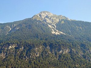
King of the Gailtal Alps King of the Gailtal Alps

participants
2
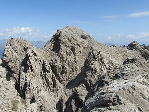
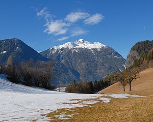
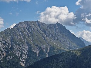
The Gailtal Alps form a mountain range over 100 kilometers long in southern Austria between the valleys of the Drava and Gail rivers. The range is part of the Southern Limestone Alps, predominantly located in Carinthia and East Tyrol. Despite being close to the famous Dolomites and Hohe Tauern, they remain significantly quieter for tourists and offer a number of peaks without large crowds.

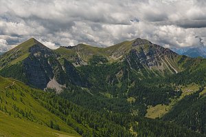
The mountains differ in their western and eastern parts. The western section is dominated by the Lienz Dolomites with sharp limestone towers, deep walls, and more challenging ascents. The highest point is Große Sandspitze (2,770 m), which is one of the most prominent peaks of the entire Southern Limestone Alps. To the east, the landscape gradually transforms into extensive grassy ridges and rounded summits, from which views open up to the Carnic Alps, Hohe Tauern, and Julian Alps.

The King of the Gailtal Alps challenge represents a cross-section of the entire range. It offers the opportunity to experience the diversity of this unjustly overlooked mountain range, which combines dramatic limestone landscapes with tranquil mountain ridges and beautiful alpine nature.

Peak features in the challenge:
- elevation above 1800m
- prominence above 300m
- there is a trail leading to it, including unmarked paths or via ferrata
- ascent is not prohibited
Spitzkofel
2717 m n.m.
463 m
Hochstadel
2681 m n.m.
335 m
Eggenkofel
2591 m n.m.
719 m
Reißkofel
2371 m n.m.
1391 m
Golzentipp
2317 m n.m.
364 m
Lumkofel
2286 m n.m.
345 m
Torkofel
2276 m n.m.
665 m
Latschur
2236 m n.m.
1278 m
Dobratsch
2166 m n.m.
1239 m
Goldeck
2142 m n.m.
418 m
Spitzegel
2119 m n.m.
1046 m
Schatzbichl
2090 m n.m.
539 m
Golz
2004 m n.m.
445 m
Tchekelnock
1892 m n.m.
478 m
Laka
1852 m n.m.
615 m
Kobesnock
1820 m n.m.
711 m
Share