
Climbing, 12 km
11.8.2026
 Itálie
Logged on Vrcholovka 17x in total. Vrchol Testa Grigia was added here by Martin Horáček.
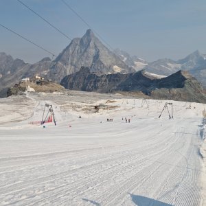
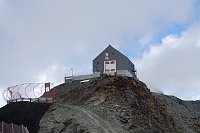
Testa Grigia is a rocky outcrop above the Theodul Pass, located on the border between Italy (Aosta Valley) and Switzerland (Valais). It overlooks part of Plateau Rosa and the Theodul Glacier on its eastern side.
The summit can be reached from Breuil-Cervinia and is the highlight of the Italian part of the international ski area with Zermatt. A connection to Klein Matterhorn (3,889 m) via the Theodul Glacier is planned for 2021.
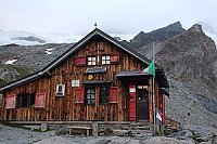
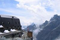
There is a chalet on the peak.
Peak is not stroller accessible.
There are views from the peak.
A cable car goes to this peak.
No special equipment is required for this summit.
Peak is freely accessible.
Nearest peaks: Klein Matterhorn (3883 m, 1.7 km) Theodulhorn (3472 m, 1.7 km) Furgghorn (3451 m, 2.3 km) Gobba di Rollin (3899 m, 2.4 km) Furggen (3492 m, 3.3 km)
 Výstup na snadnou čtyřtisícovku Breithorn ve Walliských Alpách
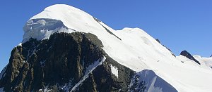 Výstupy na Gran Somettu a Motta di Pleté v Itálii
 Pohodový trek pod nádherným Matterhornem
Výstup na jeden z nejkrásnějších vrcholů Alp - Matterhorn
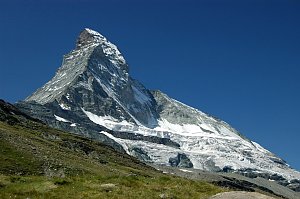 Výstup na Castor (4226 m) ze švýcarského Zermattu přes Rif. Lambronecca
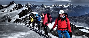 Výstup na trojku Grand Tournalin nedaleko Matterhornu
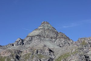

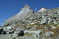
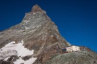
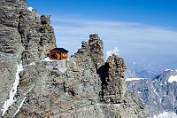
 Zermatt: Matterhorn Glacier Paradise
 Breuil-Cervinia: Cime Bianche Laghi
 Breuil-Cervinia: Seggiovia Goillet, Cervino/Matterhorn
 Ayas: Findeln - Matterhorn Zermatt
 Cervinia: Plan Maison panomax-hd
 Valtournenche: Cervinia - Bec Carre
 Valtournenche › North-East
 Cervinia: Plan Maison
 Blatten: Zermatt, Trockener Steg
 Zermatt
 Singlin: Parco Giochi, Valtournenche
 Zermatt: Matterhorn (Riffelberg)

| today | tomorrow | day after tomorrow | |
|---|---|---|---|
| Dawn: | 7:27 | 6:29 | 6:30 |
| Sunrise: | 7:58 | 6:59 | 7:01 |
| Sunset: | 18:28 | 17:26 | 17:25 |
| Dusk: | 18:58 | 17:57 | 17:55 |