Hiking, 23 km
15.9.2026
 Česko
 Polsko
Trutnov (Královéhradecký kraj)
Logged on Vrcholovka 201x in total. Peak information here was completed by Petr Pepe Peloušek a Martin Matějka.
Vysoká pláň is part of challenges: Koruna Sudet, Tisícovky Krkonoš
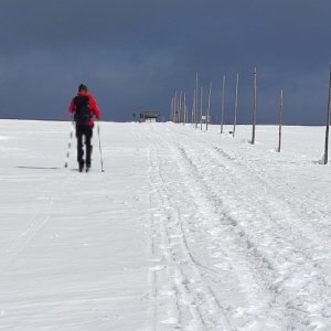
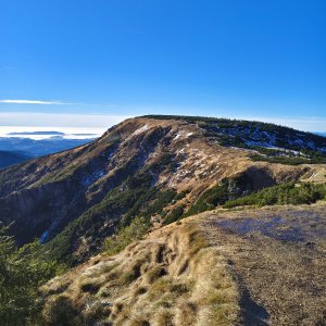
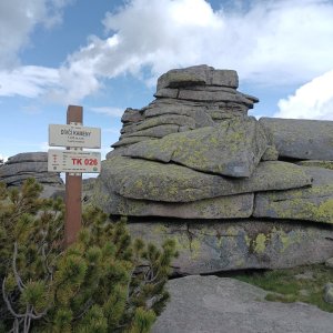
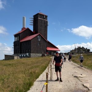
At the summit, there is the rock Ďáblova kazatelna and a building of the transmitter nicknamed Wavel. The eastern slopes drop into the basin of Sněžné jam. The highest point on the Czech side is 1490 m above sea level, while the summit rock is on the Polish side.
There is no chalet on the peak.
Peak is not stroller accessible.
There are views from the peak.
There is no cable car to this peak.
No special equipment is required for this summit.
Peak is freely accessible.
Nearest peaks: Vysoké kolo S (1275 m, 0.6 km) Violík (1472 m, 0.8 km) Vysoké kolo (1510 m, 0.8 km) Vysoká pláň S (1233 m, 0.9 km) Śmielec (1424 m, 1.5 km) Borówczane Skały (1165 m, 2.2 km) Borówczane Skały SV (1159 m, 2.2 km) Kukułcze skały (1127 m, 2.2 km) Paciorki (1060 m, 2.7 km) Harrachovy kameny (1421 m, 3 km) Vrbatovo návrší (1412 m, 3 km) Zlaté návrší (1411 m, 3.2 km) Kotel (1435 m, 3.5 km)
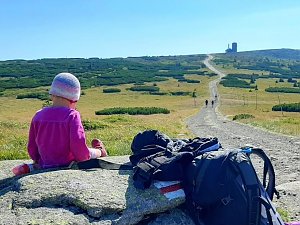 Labská stezka
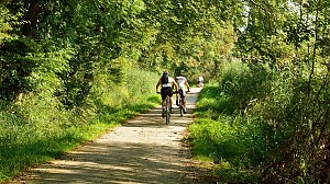 Via Czechia: Severní stezka
 Přechod Krkonoš
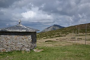
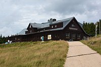
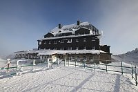

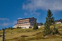
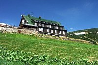
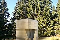
 Špindlerův Mlýn › South-East: Zlaté návrší
 Špindlerův Mlýn › South-East: Martinova bouda
 Szklarska Poreba › North
 Vitkovice: Krkonoše, Vrbatova bouda (pohled na cestu k chatě)
 Vitkovice: Vrbatova Bouda
 Szklarska Poręba: Szrenica, Karpacz
 Szklarska Poręba › South-East: Szrenica - Karkonosze
 Rokytnice nad Jizerou › South: Vosecká bouda
 Szklarska Poręba › South-West: Vosecká bouda
 Špindlerův Mlýn: Špindlerův Mlýn - CHATA VATRA
 Špindlerův Mlýn: Krkonoše, Špindlerův Mlýn, Medvědín (pohled na Kozí hřbety)
 Medvědín
 Rokytno: Rokytnice n. Jizerou, Lysá hora
 Rokytno: Lysá Hora
 Rokytno: Lysá hora - Rokytnice
 Rokytno: Lysá hora - Rokytnice
 Špindlerův Mlýn: Krkonoše, Špindlerův Mlýn, Medvědín (pohled na Labskou přehradu)
 Rokytnice nad Jizerou › South-West
 Vitkovice: Spindlermühle - Horní Mísečky
 Vitkovice: Spindlermühle - Horní Mísečky
 Marysin: Sudety Lift - Karkonosz Express
 Marysin: Sudety Lift -ski
 Bedrichov: Špindlerův Mlýn: Hromovka
 Szklarska Poręba: Rzeczpospolita - Dolina Szczęścia
 Spindleruv Mlyn › South-East
 Spindleruv Mlyn: Penzion Alenka - Labská, Přehrada
 Špindlerův Mlýn › North-West: Pension Alenka Spindleruv Mlyn
 Spindleruv Mlyn: Svaty Petr II, Nástup Lanovky
 Spindleruv Mlyn: Svaty Petr II, Restaurace

| today | tomorrow | day after tomorrow | |
|---|---|---|---|
| Dawn: | 7:02 | 6:03 | 6:05 |
| Sunrise: | 7:35 | 6:37 | 6:39 |
| Sunset: | 17:48 | 16:46 | 16:44 |
| Dusk: | 18:21 | 17:19 | 17:18 |