Zlaté návrší (1411 m a.s.l., Giant Mountains)
Register and log summit


About Zlatém návrší
 Česko
Semily (Liberecký kraj)
Logged on Vrcholovka 59x in total. Peak information here was completed by Pavel Martínek a Martin Matějka.
Zlaté návrší is part of challenges: Koruna Sudet, Nejhory Liberecka, Thousanders of the Czech Republic, Tisícovky Krkonoš
An inaccessible peak in the tranquil area of KRNAP, overgrown with dwarf pine. The nearest accessible point is the bus turnaround in the saddle with Vrbatovo návrší, about 250 meters from the summit and nearly 20 vertical meters lower.
- Chalet/accommodation
-
There is no chalet on the peak.
- Stroller access
-
This peak is accessible with a stroller.
- Views
-
There are views from the peak.
- Cable car
-
There is no cable car to this peak.
- Equipment
-
No special equipment is required for this summit.
- Accessibility
-
Tranquil area of KRNAP, the nearest accessible point is the bus turnaround in the saddle with Vrbatovo návrší, about 250 meters from the summit and nearly 20 vertical meters lower.
Nearest peaks: Vrbatovo návrší (1412 m, 0.5 km) Harrachovy kameny (1421 m, 1.2 km) Kotel (1435 m, 1.7 km) Medvědín (1235 m, 2.2 km) Hornomísečská skála (1047 m, 2.3 km) Kozlí hřbet (1034 m, 2.5 km) Harrachova skála (1036 m, 2.8 km) Mechovinec (1081 m, 2.8 km) Vysoké kolo (1510 m, 3.1 km) Vysoká pláň (1497 m, 3.2 km) Vídeňská skála (968 m, 3.5 km) Śmielec (1424 m, 3.7 km)
Routes nearby
(elevation gain 654 m, 1300 km)
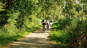 Přechod Krkonoš s dětmi
(elevation gain 1400 m, 40 km)
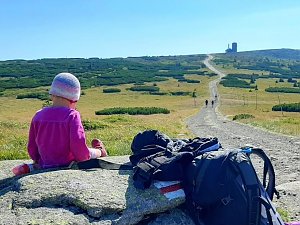 Via Czechia: Severní stezka
(elevation gain 31000 m, 1058 km)
 Přechod Krkonoš
(elevation gain 1800 m, 50 km)
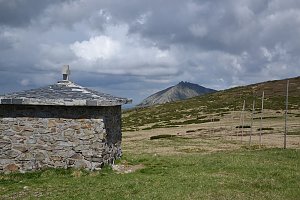
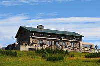
Mountain chalets
(1385 m a.s.l., 0.4 km)
(1310 m a.s.l., 2.3 km)
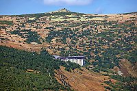
(1255 m a.s.l., 2.8 km)
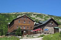
(1156 m a.s.l., 2.9 km)
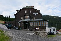
(1140 m a.s.l., 3 km)
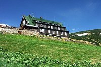
(1025 m a.s.l., 3.1 km)
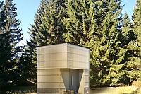
(1354 m a.s.l., 3.7 km)
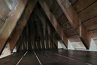
(1225 m a.s.l., 4.2 km)

(1250 m a.s.l., 4.7 km)
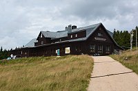
(1280 m a.s.l., 4.8 km)
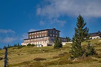
(1350 m a.s.l., 5.4 km)
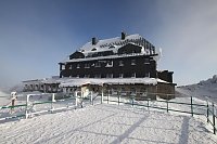
Webcams on Zlatém návrší
(1382 m a.s.l., 0.3 km)
 Medvědín
(1223 m a.s.l., 2.1 km)
 Vitkovice: Spindlermühle - Horní Mísečky
( 2.2 km)
 Vitkovice: Spindlermühle - Horní Mísečky
( 2.2 km)
 Špindlerův Mlýn: Krkonoše, Špindlerův Mlýn, Labská bouda (pohled na boudu nad Labským dolem)
(1278 m a.s.l., 2.2 km)
 Vitkovice: Krkonoše, Vrbatova bouda (pohled na cestu k chatě)
(1340 m a.s.l., 2.2 km)
 Špindlerův Mlýn: Krkonoše, Špindlerův Mlýn, Medvědín (pohled na Kozí hřbety)
(1223 m a.s.l., 2.3 km)
 Špindlerův Mlýn: Krkonoše, Špindlerův Mlýn, Medvědín (pohled na Labskou přehradu)
(1212 m a.s.l., 2.3 km)
 Špindlerův Mlýn › South-East: Zlaté návrší
(1298 m a.s.l., 2.3 km)
 Špindlerův Mlýn › South-East: Martinova bouda
(1246 m a.s.l., 2.9 km)
 Rokytnice nad Jizerou › South-West
(750 m a.s.l., 3 km)
 Rokytno: Rokytnice n. Jizerou, Lysá hora
(1306 m a.s.l., 3.4 km)
 Rokytno: Lysá Hora
(1304 m a.s.l., 3.4 km)
 Rokytno: Lysá hora - Rokytnice
(1304 m a.s.l., 3.4 km)
 Rokytno: Lysá hora - Rokytnice
(1304 m a.s.l., 3.4 km)
 Bedrichov: Špindlerův Mlýn: Hromovka
(777 m a.s.l., 3.8 km)
 Spindleruv Mlyn: Penzion Alenka - Labská, Přehrada
( 3.8 km)
 Špindlerův Mlýn › North-West: Pension Alenka Spindleruv Mlyn
(731 m a.s.l., 3.8 km)
 Rokytnice nad Jizerou › South-West
(1093 m a.s.l., 4.2 km)
 Špindlerův Mlýn: Špindlerův Mlýn - CHATA VATRA
(1229 m a.s.l., 4.2 km)
 Spindleruv Mlyn › South-East
(807 m a.s.l., 4.3 km)
 Rokytno: Chata Světlanka
(870 m a.s.l., 4.3 km)
 Szklarska Poreba › North
( 4.4 km)
 Rokytnice nad Jizerou › South: Vosecká bouda
( 4.7 km)
 Szklarska Poręba › South-West: Vosecká bouda
(1251 m a.s.l., 4.8 km)
 Szklarska Poręba › South-East: Szrenica - Karkonosze
(1319 m a.s.l., 5.3 km)
 Spindleruv Mlyn: Svaty Petr II, Nástup Lanovky
( 5.4 km)
 Spindleruv Mlyn: Svaty Petr II, Restaurace
( 5.4 km)
 Szklarska Poręba: Szrenica, Karpacz
(1361 m a.s.l., 5.4 km)
 Spindleruv Mlyn: Hromovka
( 5.5 km)
 Skelné Hutě: Rezek − pension Hájenka
(884 m a.s.l., 5.6 km)
 Vitkovice: Vitkovice v Krkonosich: Lyžařský areál Janova Hora - Sjezdovka
( 6.1 km)

Sun
| today | tomorrow | day after tomorrow | |
|---|---|---|---|
| Dawn: | 6:08 | 6:10 | 6:11 |
| Sunrise: | 6:42 | 6:44 | 6:45 |
| Sunset: | 16:40 | 16:38 | 16:36 |
| Dusk: | 17:14 | 17:12 | 17:11 |