

Hiking, 8 km
2.9.2026
 Česko
Trutnov (Královéhradecký kraj)
Logged on Vrcholovka 83x in total. Peak information here was completed by Martin Matějka.
Hornomísečská skála is part of challenges: The Highest Mountains of Hradec Králové Region, Tisícovky Krkonoš
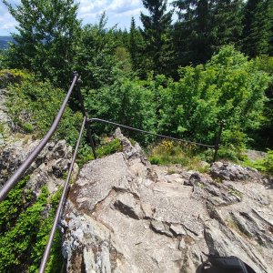
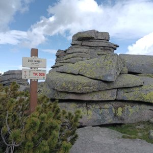
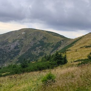
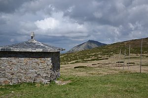
A nice rock, a secondary peak of Medvědín.
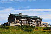
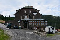
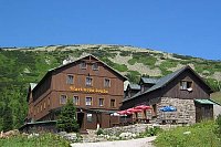
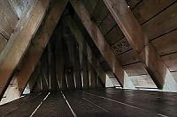
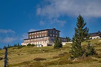
There is a chalet on the peak.
Peak is not stroller accessible.
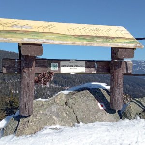
There are views from the peak.
There is no cable car to this peak.
No special equipment is required for this summit.
Peak is freely accessible.
Nearest peaks: Harrachova skála (1036 m, 0.6 km) Mechovinec (1081 m, 0.7 km) Medvědín (1235 m, 1 km) Kozlí hřbet (1034 m, 1.2 km) Zlaté návrší (1411 m, 2.3 km) Vrbatovo návrší (1412 m, 2.7 km) Černá skála (1042 m, 2.8 km)
 Via Czechia: Severní stezka
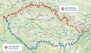 Přechod Krkonoš
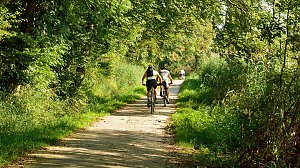
 Labská stezka
 Vitkovice: Spindlermühle - Horní Mísečky
 Špindlerův Mlýn: Krkonoše, Špindlerův Mlýn, Medvědín (pohled na Labskou přehradu)
 Medvědín
 Špindlerův Mlýn: Krkonoše, Špindlerův Mlýn, Medvědín (pohled na Kozí hřbety)
 Bedrichov: Špindlerův Mlýn: Hromovka
 Spindleruv Mlyn: Penzion Alenka - Labská, Přehrada
 Špindlerův Mlýn › North-West: Pension Alenka Spindleruv Mlyn
 Spindleruv Mlyn › South-East
 Vitkovice: Vrbatova Bouda
 Spindleruv Mlyn: Svaty Petr II, Nástup Lanovky
 Spindleruv Mlyn: Svaty Petr II, Restaurace
 Spindleruv Mlyn: Hromovka
 Špindlerův Mlýn › South-East: Martinova bouda
 Bedrichov: Svatý Petr - Pláň - Špindlerův Mlýn
 Predni Labska: Město Špindlerův Mlýn - Svatý Petr, Pláně
 Špindlerův Mlýn: Krkonoše, Špindlerův Mlýn, Labská bouda (pohled na boudu nad Labským dolem)
 Špindlerův Mlýn › South-East: Zlaté návrší
 Vitkovice: Krkonoše, Vrbatova bouda (pohled na cestu k chatě)
 Špindlerův Mlýn: Špindlerův Mlýn - CHATA VATRA
 Vitkovice: Vitkovice v Krkonosich: Lyžařský areál Janova Hora - Sjezdovka
 Čistá Voda: Stráň − Přední Labská
 Skelné Hutě: Rezek − pension Hájenka
 Vitkovice: v Krkonoších - v Krkonoších II, POI 1
 Vitkovice: v Krkonoších - v Krkonoších II, POI 2
 Szklarska Poreba › North
 Szklarska Poręba: Szrenica, Karpacz

| today | tomorrow | day after tomorrow | |
|---|---|---|---|
| Dawn: | 6:18 | 6:19 | 6:21 |
| Sunrise: | 6:52 | 6:54 | 6:56 |
| Sunset: | 16:29 | 16:28 | 16:26 |
| Dusk: | 17:04 | 17:02 | 17:01 |