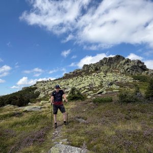
Hiking, 23 km
15.9.2026
 Česko
 Polsko
Trutnov (Královéhradecký kraj)
Logged on Vrcholovka 157x in total. Peak information here was completed by Petr Pepe Peloušek, Martin Matějka a Daniel Ledl.
Violík is part of challenges: Koruna Sudet, The Highest Mountains of Hradec Králové Region, Thousanders of the Czech Republic, Tisícovky Krkonoš
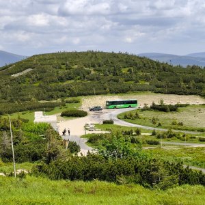
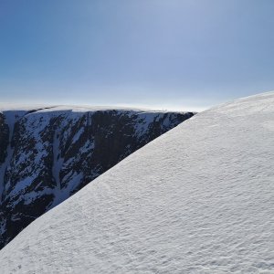
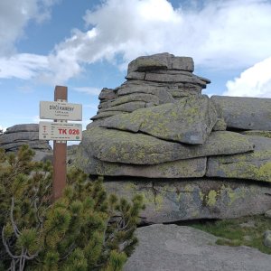
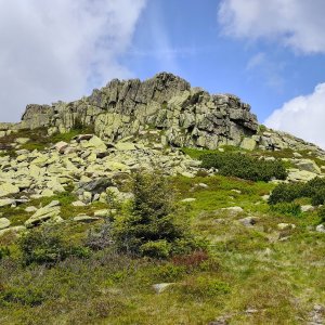
Polish Łabski Szczyt. A rocky summit with a scree and stone sea below.
Access to the rocky summit is prohibited to protect the lichen. The closest you can get to the summit is via the red-marked hiking trail (approx. 1460 m a.s.l.)
There is no chalet on the peak.
With a quality all-terrain stroller, you can reach just below the summit with great effort. I definitely do not recommend taking a stroller on weekends during the summer holidays due to the large number of hikers.
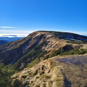
There are views from the peak.
There is no cable car to this peak.
No special equipment is required for this summit.
Peak is freely accessible.
Nearest peaks: Vysoká pláň (1497 m, 0.8 km) Vysoká pláň S (1233 m, 1.2 km) Vysoké kolo S (1275 m, 1.4 km) Kukułcze skały (1127 m, 1.5 km) Vysoké kolo (1510 m, 1.6 km) Borówczane Skały (1165 m, 1.7 km) Borówczane Skały SV (1159 m, 1.7 km) Harrachovy kameny (1421 m, 2.9 km) Vrbatovo návrší (1412 m, 3.1 km) Kotel (1435 m, 3.3 km) Above Szrenický Stream (766 m, 3.4 km)
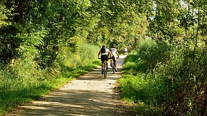 Přechod Krkonoš s dětmi
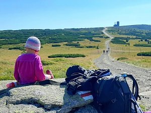 Via Czechia: Severní stezka
 Přechod Krkonoš
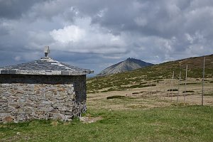
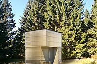
 Szklarska Poreba › North
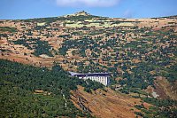
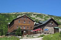
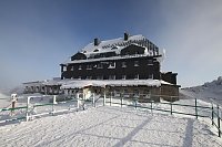
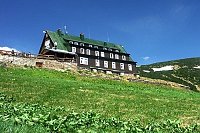
 Špindlerův Mlýn: Krkonoše, Špindlerův Mlýn, Labská bouda (pohled na boudu nad Labským dolem)
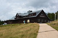
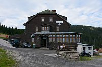
 Vitkovice: Krkonoše, Vrbatova bouda (pohled na cestu k chatě)
 Špindlerův Mlýn › South-East: Martinova bouda
 Szklarska Poręba: Szrenica, Karpacz
 Szklarska Poręba › South-East: Szrenica - Karkonosze
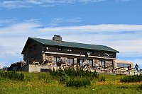
 Rokytnice nad Jizerou › South: Vosecká bouda
 Szklarska Poręba › South-West: Vosecká bouda
 Vitkovice: Vrbatova Bouda
 Rokytno: Rokytnice n. Jizerou, Lysá hora
 Rokytno: Lysá Hora
 Rokytno: Lysá hora - Rokytnice
 Rokytno: Lysá hora - Rokytnice
 Rokytnice nad Jizerou › South-West
 Marysin: Sudety Lift - Karkonosz Express
 Marysin: Sudety Lift -ski
 Rokytnice nad Jizerou › South-West
 Medvědín
 Špindlerův Mlýn: Krkonoše, Špindlerův Mlýn, Medvědín (pohled na Kozí hřbety)
 Špindlerův Mlýn: Krkonoše, Špindlerův Mlýn, Medvědín (pohled na Labskou přehradu)
 Vitkovice: Spindlermühle - Horní Mísečky
 Vitkovice: Spindlermühle - Horní Mísečky
 Rokytno: Chata Světlanka
 Szklarska Poręba: Rzeczpospolita - Dolina Szczęścia
 Rokytnice nad Jizerou: II, POI 1
 Bedrichov: Špindlerův Mlýn: Hromovka
 Spindleruv Mlyn › South-East
 Rokytnice nad Jizerou › West

| today | tomorrow | day after tomorrow | |
|---|---|---|---|
| Dawn: | 7:00 | 7:02 | 6:03 |
| Sunrise: | 7:34 | 7:35 | 6:37 |
| Sunset: | 17:50 | 17:48 | 16:46 |
| Dusk: | 18:23 | 18:21 | 17:19 |