



Hiking
so, 5.9.2026, 16:58
 Rakousko
Logged on Vrcholovka 3x in total. Vrchol Barensudridge was added here by Jiří Králík and info was completed by Martin Matějka a Jiří Králík.
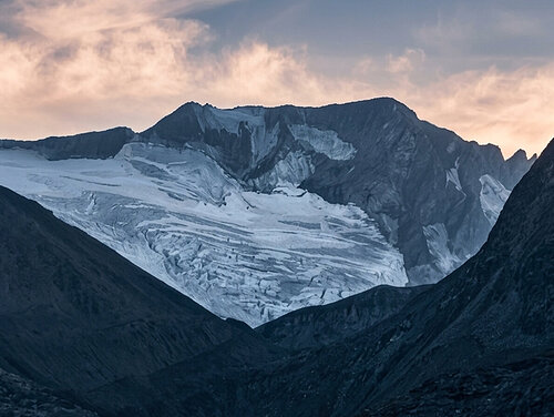
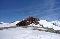
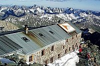
A ridge peak before the summit of Mitter Barenkopf. The ridge is quite broken but passable without climbing skills. To reach the summit, you need to cross a short glacier field when ascending from the Oberwalderhutte hut.
There is no chalet on the peak.
Peak is not stroller accessible.
There are views from the peak.
There is no cable car to this peak.
Special equipment is required for this summit.
Peak is freely accessible.
Nearest peaks: Mittlerer Bärenkopf (3358 m, 0.3 km) Vorderer Bärenkopf (3249 m, 0.7 km) Bockkuppe (3185 m, 1 km) Führerkuppe (3319 m, 1 km) Schwarzköpfl (3124 m, 1 km) Großer Bärenkopf (3396 m, 1.6 km) Schattseitköpfl (3172 m, 1.6 km) Breitkopf (3154 m, 2.1 km) Hohe Dock (3348 m, 2.3 km) Mittlerer Burgstall (2933 m, 2.6 km) Obere Elschberg (2754 m, 3 km) Klockerin (3422 m, 3.1 km) Elschberg (2664 m, 3.4 km) Untere Elschberg (2622 m, 3.6 km)
 Výstup na sněhovou horu Johannisberg (3463 m) ve Vysokých Taurách
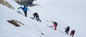 Výstup na Fuscherkarkopf
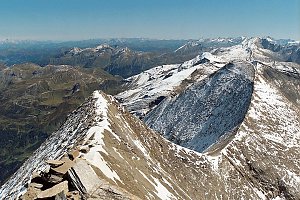 VHT přechod hřebene Vysokých Taur - Alpská maturita
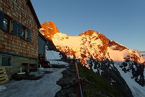 Výstup na Großes Wiesbachhorn
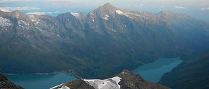 Grosses Wiesbachhorn (3564 m) – výstup na žraločí ploutev Vysokých Taur
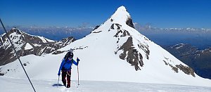 Výstup na Grossglockner ze severu, Pallaviciniho kuloárem
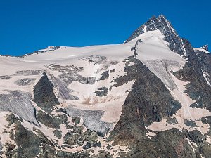 Výstup na nejvyšší vrchol Rakouska Grossglockner
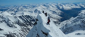 Výstup na nejvyšší vrchol Rakouska - Grossglockner přes hřeben Stüdlgrat
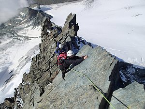 Kitzsteinhorn turisticky
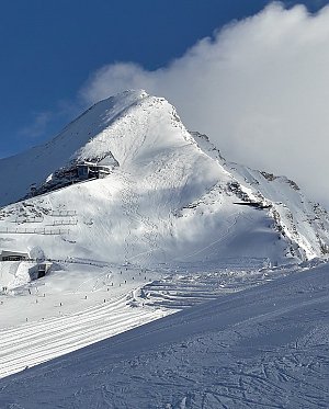 Tauernhöhenweg: Náročná hřebenovka Vysokých Taur
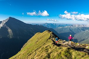
 Enzingerboden: Kaprun Hochgebirgsstauseen − Mooserboden − Blick Richtung Wiesbachhorn
 Ferleiten: Heinrich-Schwaiger-Haus − Kaprun Hochgebirgsstauseen − Blick nach Westen
 Winkl: Freiwandeck − Blick zum Großglockner
 Marx: Großglockner Webcams
 Heiligenblut am Grossglockner: Fotopoint Adlersruhe - Blick nach Süden
 Jörgnalm: Adlersruhe − Blick nach Westen zum Großglockner
 Kaprun: Hochgebirgsstauseen - Wasserfallboden - Blick nach Osten
 Kaprun: Hochgebirgsstauseen - Wasserfallboden - Blick nach Osten

| today | tomorrow | day after tomorrow | |
|---|---|---|---|
| Dawn: | 6:16 | 6:17 | 6:18 |
| Sunrise: | 6:47 | 6:49 | 6:50 |
| Sunset: | 16:58 | 16:56 | 16:54 |
| Dusk: | 17:29 | 17:28 | 17:26 |

