




Hiking
po, 11.12.2023, 8:30
 Česko
Teplice (Ústecký kraj)
Logged on Vrcholovka 1x in total. Vrchol Zaječí skála was added here by Tor and info was completed by Tor.
Also known as Zaječák, it forms an impressive rocky backdrop above the valley cliffs of the Vinohradský stream. From Vlčí rokle, it resembles a lying hare in shape. (Hence the familiar name.) From this side, the eastern pillar reaches up to five meters in height. The easiest ascent leads from the west along a manageable ridge. Once good views are now almost obscured by surrounding trees. South of Zaječák, at the northwestern foothill of Šibeniční vrch, there is a campsite of the same name. (The only one in the entire Knetl area.)
There is no chalet on the peak.
Peak is not stroller accessible.
There are no views from the peak.
There is no cable car to this peak.
No special equipment is required for this summit.
Peak is freely accessible.
Nearest peaks: Ovčí skála (450 m, 0.4 km) Mrtvý kámen (Totenstein) (334 m, 0.7 km) Rosenberg (368 m, 0.7 km) Mariánská skála (672 m, 0.9 km) Vilémova výšina (338 m, 0.9 km) Lázeňský vrch (422 m, 1.1 km) Liščí vrch (777 m, 1.5 km) Čihadlo (454 m, 1.7 km) Luisina výšina (394 m, 2 km) Komáří hůrka (808 m, 2.1 km)
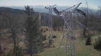 Krupka › North-East
 Krupka
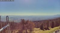 Teplice
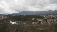 Teplice › South-East
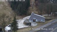
 Telnice: Rudny vrch
 Telnice
 Telnice
 Telnice
| today | tomorrow | day after tomorrow | |
|---|---|---|---|
| Dawn: | 6:24 | 6:26 | 6:27 |
| Sunrise: | 6:59 | 7:01 | 7:02 |
| Sunset: | 16:36 | 16:35 | 16:33 |
| Dusk: | 17:11 | 17:09 | 17:08 |