


Cycling, 25 km
2.10.2025
 Česko
Český Krumlov (Jihočeský kraj)
Logged on Vrcholovka 25x in total. Peak information here was completed by Pavel Martínek, Bouřka, Martin Matějka a Vladimír Grančay.
Nad Hospodárnicí is part of challenges: Šumavské tisícovky, The Highest Peaks of South Bohemia, Thousanders of the Czech Republic
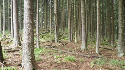
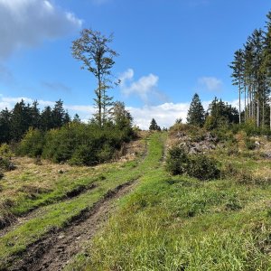
A prominent ridge 4 km east of Slunečná. The eastern peak of the Hvězdář ridge extending west from Špičák. The summit is flat, with several small rocks in the eastern part. The slopes are covered with scattered debris. It is forested with spruce. There is a geodetic point at the top. Previously part of the VVP Boletice, now the peak is freely accessible. (tisicovky.cz)
The highest point of the Nad Hospodárnicí massif is about 330m east of the elevation 1182, where the geodetic point is located, and has a height of 1186.7m according to measurements on ags.cuzk.cz.
There is no chalet on the peak.
Peak is not stroller accessible.
There are no views from the peak.
There is no cable car to this peak.
No special equipment is required for this summit.
Peak is freely accessible.
Nearest peaks: Nad Hospodárnicí Z2 (1181 m, 0.2 km) Above the Z Storehouse (1182 m, 0.3 km) Hvězdáře (1160 m, 0.8 km) Nad Slatinkou (1188 m, 0.8 km) Kapradinec S (1099 m, 1 km) Špičák (1223 m, 1.1 km) Fern (1088 m, 1.2 km) Špičák S (1076 m, 1.2 km) SE Star (1144 m, 1.3 km) Hvězda (1155 m, 1.4 km) Špičák JV1 (1215 m, 1.4 km) Under Žumberská Path (1033 m, 1.4 km) Star NW (1145 m, 1.6 km) Vlčí kámen (1138 m, 1.7 km) Nad Novým Špičákem (1084 m, 1.9 km) Nad Žumberskou cestou (1110 m, 1.9 km) Špičák JV2 (1174 m, 1.9 km) Špičák SV (1142 m, 1.9 km) Kapradinec J (1003 m, 2 km) Adolfův kámen (1073 m, 2.1 km) Suchá hora (1083 m, 2.2 km) Dry mountain WNW (1081 m, 2.4 km) Krb JZ (1075 m, 2.7 km) Above Adolfovská cesta (1029 m, 2.8 km) Lysá J (1133 m, 2.8 km) Umrlčí hlava (1150 m, 3 km) Above Adolfovská cesta NW (1005 m, 3.2 km) Knížecí stolec (1236 m, 3.2 km) Nad Maňávkou (929 m, 3.3 km) Nad silnicí (786 m, 3.6 km)
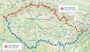 Přechod NP Šumava
 Přechod jižní Šumavou
| today | tomorrow | day after tomorrow | |
|---|---|---|---|
| Dawn: | 6:19 | 6:20 | 6:22 |
| Sunrise: | 6:52 | 6:53 | 6:55 |
| Sunset: | 16:42 | 16:41 | 16:39 |
| Dusk: | 17:15 | 17:14 | 17:12 |