Hoher Tenn (3368 m a.s.l., Glockner)
Register and log summit


About peak Hoher Tenn
 Rakousko
Peak information here was completed by Martin Matějka a Jiří Králík.
AT
Difficulty II/A-17.II-C
- Chalet/accommodation
-
There is no chalet on the peak.
- Stroller access
-
Peak is not stroller accessible.
- Views
-
There are views from the peak.
- Cable car
-
There is no cable car to this peak.
- Equipment
-
Special equipment is required for this summit.
- Accessibility
-
Peak is freely accessible.
Nearest peaks: Schneespitze (3317 m, 0.5 km) Kleiner Tenn (3158 m, 0.6 km) Bauernbrachkopf (3125 m, 1.5 km) Kleines Wiesbachhorn (3283 m, 1.5 km) Kempsenkopf (3090 m, 1.8 km) Unterer Fochezkopf (2989 m, 2.2 km) Oberer Fochezkopf (3159 m, 2.3 km) Kaindl (3289 m, 2.5 km) Großes Wiesbachhorn (3564 m, 2.6 km) Spitzbrettköpfl (2485 m, 2.7 km) Krapfbrachkopf (2711 m, 3.3 km) Hinterer Bratschenkopf (3413 m, 3.4 km)
Routes nearby
(elevation gain 1500 m, 15 km)
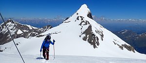 VHT přechod hřebene Vysokých Taur - Alpská maturita
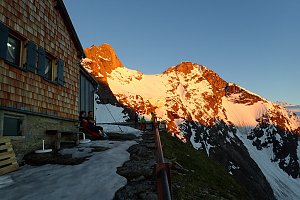 Výstup na Großes Wiesbachhorn
(elevation gain 2500 m, 30 km)
 Kitzsteinhorn turisticky
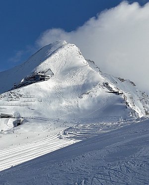 Výstup na štíty Grosser a Mittlerer Bärenkopf
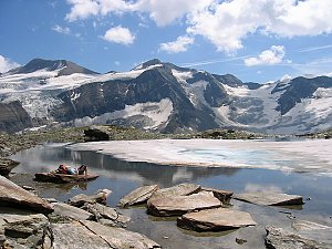 Výstup na Fuscherkarkopf
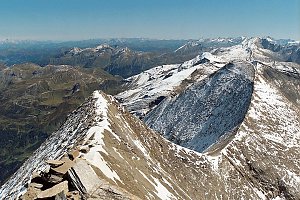 Výstup na sněhovou horu Johannisberg (3463 m) ve Vysokých Taurách
(elevation gain 1500 m, 25 km)
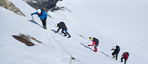 Výstup na Grossglockner ze severu, Pallaviciniho kuloárem
(elevation gain 2000 m, 15 km)
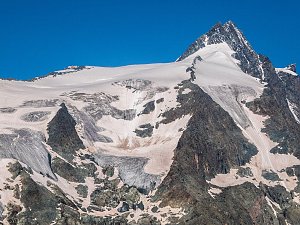
Mountain chalets

Webcams
(2770 m a.s.l., 2.4 km)
 Enzingerboden: Kaprun Hochgebirgsstauseen − Mooserboden − Blick Richtung Wiesbachhorn
(2090 m a.s.l., 3.9 km)
 Kaprun: Hochgebirgsstauseen - Wasserfallboden - Blick nach Osten
(-32768 m a.s.l., 4.4 km)
 Kaprun: Hochgebirgsstauseen - Wasserfallboden - Blick nach Osten
( 4.4 km)
 Krimml: Zillertalarena - Berggeistalm
( 6.7 km)
Sun
| today | tomorrow | day after tomorrow | |
|---|---|---|---|
| Dawn: | 6:11 | 6:13 | 6:14 |
| Sunrise: | 6:43 | 6:44 | 6:46 |
| Sunset: | 17:02 | 17:01 | 16:59 |
| Dusk: | 17:34 | 17:32 | 17:30 |