Kempsenkopf (3090 m a.s.l., Glockner)
Register and log summit


About peak Kempsenkopf
 Rakousko
Vrchol Kempsenkopf was added here by Milan "Hojší" Průžek and info was completed by Bouřka.
Kempsenkopf is a 3090 m high peak in the Glockner group of the High Tauern, south of Kaprun. It is the northernmost named ridge over 3000 meters in the Alps, and thus in all of Europe, but it is only separated from the immediately neighboring and slightly higher Bauernbrachkopf (3125 m) by a 24-meter deep unnamed notch. Although Kempsenkopf is listed as a summit in some guides, this classification is disputed due to its low prominence.
Ascent
From the Gleiwitzer Hütte and the Mooserboden reservoir, a trail leads to Kempsenkopf, which is partially secured with steel cables. The connection of these two trails is part of the Gliwicka High Mountain Trail. Both routes meet a few meters north of the highest elevation. The ascent takes three to four hours. From the highest elevation, the trail continues over Bauernbrachkopf to Kleiner and Hoher Tenn via its northwestern ridge. Kempsenkopf is crossed on the normal route when ascending Hoher Tenn.
- Chalet/accommodation
-
There is no chalet on the peak.
- Stroller access
-
Peak is not stroller accessible.
- Views
-
There are views from the peak.
- Cable car
-
There is no cable car to this peak.
- Equipment
-
No special equipment is required for this summit.
- Accessibility
-
Peak is freely accessible.
Nearest peaks: Bauernbrachkopf (3125 m, 0.2 km) Kleiner Tenn (3158 m, 1.2 km) Spitzbrettköpfl (2485 m, 1.4 km) Schneespitze (3317 m, 1.5 km) Hoher Tenn (3368 m, 1.8 km) Krapfbrachkopf (2711 m, 1.8 km) Vorderes Spitzbrett (2608 m, 2 km) Messerfeldköpfl (2441 m, 3.1 km) Kleines Wiesbachhorn (3283 m, 3.2 km) Höhenburg (2108 m, 3.3 km)
Routes nearby
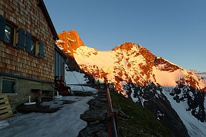 Výstup na Großes Wiesbachhorn
(elevation gain 2500 m, 30 km)
 Grosses Wiesbachhorn (3564 m) – výstup na žraločí ploutev Vysokých Taur
(elevation gain 1500 m, 15 km)
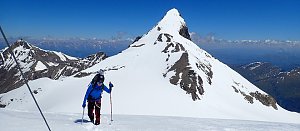 Kitzsteinhorn turisticky
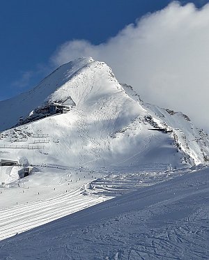 Výstup na štíty Grosser a Mittlerer Bärenkopf
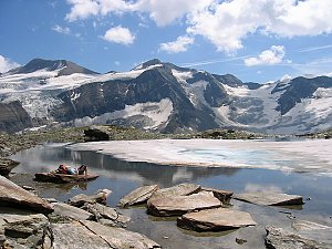 Výstup na Fuscherkarkopf
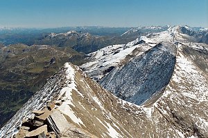 Výstup na sněhovou horu Johannisberg (3463 m) ve Vysokých Taurách
(elevation gain 1500 m, 25 km)
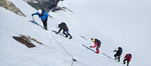
Mountain chalets

Webcams
(2770 m a.s.l., 3.5 km)
 Kaprun: Hochgebirgsstauseen - Wasserfallboden - Blick nach Osten
(-32768 m a.s.l., 3.8 km)
 Kaprun: Hochgebirgsstauseen - Wasserfallboden - Blick nach Osten
( 3.8 km)
 Enzingerboden: Kaprun Hochgebirgsstauseen − Mooserboden − Blick Richtung Wiesbachhorn
(2090 m a.s.l., 4.1 km)
 Kaprun: Kitzsteinhorn - Alpincenter
( 4.7 km)
 Kaprun: Kitzsteinhorn - Langwiedboden
( 4.8 km)

Sun
| today | tomorrow | day after tomorrow | |
|---|---|---|---|
| Dawn: | 6:11 | 6:13 | 6:14 |
| Sunrise: | 6:43 | 6:44 | 6:46 |
| Sunset: | 17:02 | 17:01 | 16:59 |
| Dusk: | 17:34 | 17:32 | 17:30 |