


Hiking, 11 km
29.8.2025
Rakousko
Logged on Vrcholovka 17x in total. Peak information here was completed by Bouřka a Jiří Králík.
Großes Wiesbachhorn is part of challenges: Austrian Alps, TOP 10 Austria
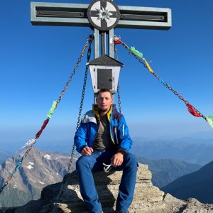
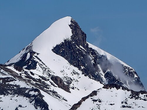
A high and beautiful peak of the Hohe Tauern; one of the easiest high three-thousanders in the Alps. The starting point is the Heinrich Schweiger Haus at an altitude of 2802m, above which there is one moderately difficult section (I, chains), otherwise the terrain is hiking-friendly. The summit area has unpleasantly crumbly terrain, caution is advised. Otherwise, a lot of reward for little effort.
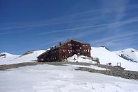
Heinrich Schweiger Haus 800m below the summit.
Peak is not stroller accessible.
There are views from the peak.
There is no cable car to this peak.
No special equipment is required for this summit.
Peak is freely accessible.
Nearest peaks: Kaindl (3289 m, 0.6 km) Oberer Fochezkopf (3159 m, 0.8 km) Hinterer Bratschenkopf (3413 m, 1.1 km) Vorderer Bratschenkopf (3401 m, 1.1 km) Kleines Wiesbachhorn (3283 m, 1.2 km) Unterer Fochezkopf (2989 m, 1.2 km) Klockerin (3422 m, 1.8 km) Hoher Tenn (3368 m, 2.6 km) Stiegerhügel (1722 m, 2.6 km) Hohe Dock (3348 m, 3.1 km) Kleiner Tenn (3158 m, 3.1 km) Schneespitze (3317 m, 3.1 km) Steinkarlkopf (2527 m, 3.3 km) Großer Bärenkopf (3396 m, 3.4 km)
 Grosses Wiesbachhorn (3564 m) – výstup na žraločí ploutev Vysokých Taur
 VHT přechod hřebene Vysokých Taur - Alpská maturita
 Výstup na štíty Grosser a Mittlerer Bärenkopf
 Kitzsteinhorn turisticky
 Výstup na Fuscherkarkopf
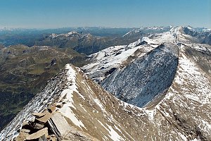 Výstup na sněhovou horu Johannisberg (3463 m) ve Vysokých Taurách
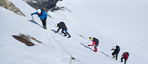 Výstup na Grossglockner ze severu, Pallaviciniho kuloárem
 Tauernhöhenweg: Náročná hřebenovka Vysokých Taur
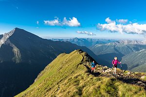 Výstup na nejvyšší vrchol Rakouska Grossglockner
 Výstup na nejvyšší vrchol Rakouska - Grossglockner přes hřeben Stüdlgrat
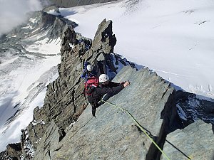
 Enzingerboden: Kaprun Hochgebirgsstauseen − Mooserboden − Blick Richtung Wiesbachhorn
 Kaprun: Hochgebirgsstauseen - Wasserfallboden - Blick nach Osten
 Kaprun: Hochgebirgsstauseen - Wasserfallboden - Blick nach Osten
 Heiligenblut am Grossglockner: Oberwalderhütte - Blick nach Süden zum Großglockner
| today | tomorrow | day after tomorrow | |
|---|---|---|---|
| Dawn: | 6:31 | 6:32 | 6:34 |
| Sunrise: | 7:03 | 7:05 | 7:06 |
| Sunset: | 16:41 | 16:40 | 16:39 |
| Dusk: | 17:14 | 17:13 | 17:11 |