Kačavské hory
| Highest peak | Okole (725 m a.s.l.) |
|---|---|
| Most prominent peak | Okole (725 m a.s.l., prominence 257 m) |
| Parent unit | Krkonošská oblast |
| Main peaks | Total 8 |
| Most popular peaks | Skopiec (724 m a.s.l.), Okole (725 m a.s.l.), Baraniec (720 m a.s.l.), Folwarczna (722 m a.s.l.), Leśniak (677 m a.s.l.) |
| Mountain range challenges | Crown of Mountains Poland, Koruna Sudet |

| Name | Elevation | ||||
|---|---|---|---|---|---|

|
Okole | 725 m a.s.l. | Kačavské hory | 257 m | hlavní vrchol |

|
Skopiec | 724 m a.s.l. | Kačavské hory | 182 m | hlavní vrchol |
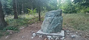
|
Folwarczna | 722 m a.s.l. | Kačavské hory | 60 m | hlavní vrchol |
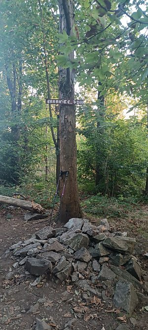
|
Baraniec | 720 m a.s.l. | Kačavské hory | 13 m | vedlejší vrchol |
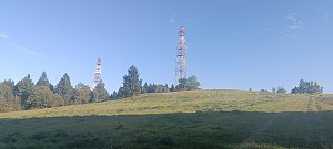
|
Łysa Góra | 711 m a.s.l. | Kačavské hory | 131 m | hlavní vrchol |
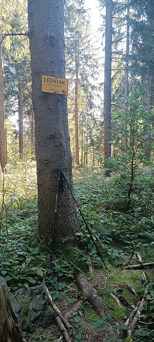
|
Leśniak | 677 m a.s.l. | Kačavské hory | 30 m | hlavní vrchol |
|
Poręba | 675 m a.s.l. | Kačavské hory | 190 m | hlavní vrchol |

|
Leśnica | 662 m a.s.l. | Kačavské hory | 19 m | hlavní vrchol |

|
Grapa | 626 m a.s.l. | Kačavské hory | 17 m | hlavní vrchol |