Brenta
| Highest peak | Cima Brenta (3151 m a.s.l.) |
|---|---|
| Most prominent peak | Cima Brenta (3151 m a.s.l., prominence 1501 m) |
| Parent unit | Southern Limestone Alps |
| Main peaks | Total 10 |
| Most popular peaks | La Paganella (2125 m a.s.l.), Il Picco Della Beatitudine (2823 m a.s.l.), Campanile dei Camosci (2920 m a.s.l.), Spinale (2103 m a.s.l.), Cima Tosa (3136 m a.s.l.) |
| Mountain range challenges | Ultraprominent Europe, Vápencové ultraperly východních Alp |

| Name | Elevation | ||||
|---|---|---|---|---|---|

|
Cima Brenta | 3151 m a.s.l. | Brenta | 1501 m | hlavní vrchol |

|
Cima Tosa | 3136 m a.s.l. | Brenta | 589 m | hlavní vrchol |

|
Cima Falkner | 2990 m a.s.l. | Brenta | 347 m | hlavní vrchol |

|
Campanile dei Camosci | 2920 m a.s.l. | Brenta | 52 m | hlavní vrchol |

|
Il Picco Della Beatitudine | 2823 m a.s.l. | Brenta | 5 m | vedlejší vrchol |

|
Castelletto Superiore | 2703 m a.s.l. | Brenta | 42 m | hlavní vrchol |

|
La Paganella | 2125 m a.s.l. | Brenta | 1099 m | hlavní vrchol |
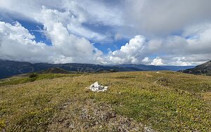
|
Monte Spinale V | 2115 m a.s.l. | Brenta | 31 m | hlavní vrchol |
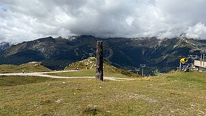
|
Spinale | 2103 m a.s.l. | Brenta | 74 m | hlavní vrchol |

|
La Roda | 2103 m a.s.l. | Brenta | 21 m | hlavní vrchol |

|
Piccolo Dain | 967 m a.s.l. | Brenta | 250 m | hlavní vrchol |