Cima Brenta (3151 m a.s.l., Brenta)
Register and log summit
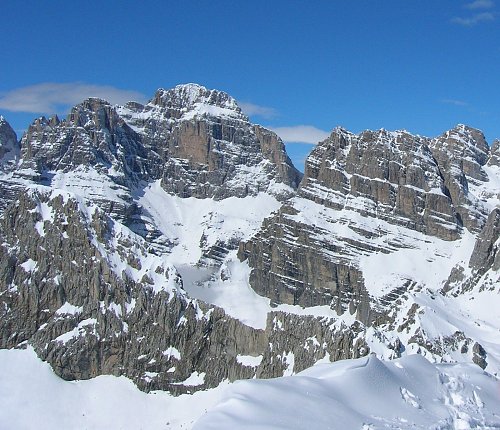

About peak Cima Brenta
 Itálie
Peak information here was completed by Martin Matějka a Jan Matiášek.
Cima Brenta is part of challenges: Ultraprominent Europe, Vápencové ultraperly východních Alp
About 150 vertical meters below the summit, there is a via ferrata of difficulty C IT. The summit itself is accessible only by climbing, difficulty II/C-28.IV-A.
- Chalet/accommodation
-
There is no chalet on the peak.
- Stroller access
-
Peak is not stroller accessible.
- Views
-
There are no views from the peak.
- Cable car
-
There is no cable car to this peak.
- Equipment
-
Special equipment is required for this summit.
- Accessibility
-
Peak is freely accessible.
Nearest peaks: Castelletto Superiore (2703 m, 1.2 km) Cima Falkner (2990 m, 1.6 km) Campanile dei Camosci (2920 m, 1.9 km) Cima Tosa (3136 m, 3.4 km) Il Picco Della Beatitudine (2823 m, 3.5 km)
Routes nearby
(elevation gain 3200 m, 30 km)
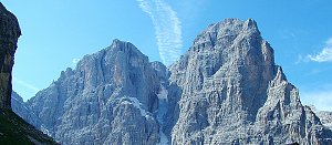 Výstup na Cima Brenta cestou Via delle Bocchette
(elevation gain 2000 m, 20 km)
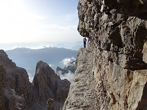 Ferratový přechod Brenty
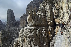
(elevation gain 3500 m, 28 km)
Webcams
(2431 m a.s.l., 3.9 km)
 Tre Ville: Madonna die Campiglio - Groste
(2450 m a.s.l., 4.1 km)
 Madonna di Campiglio: Grostè Sessellift - Talstation, Rifugio Graffer
( 4.5 km)
 Molveno: Pradel
( 5 km)
 Tre Ville: Madonna di Campiglio
(2085 m a.s.l., 6.3 km)
 Madonna di Campiglio: Kabinenbahn Nube d´argento
( 7.3 km)

Sun
| today | tomorrow | day after tomorrow | |
|---|---|---|---|
| Dawn: | 7:13 | 7:15 | 6:16 |
| Sunrise: | 7:44 | 7:45 | 6:47 |
| Sunset: | 18:16 | 18:15 | 17:13 |
| Dusk: | 18:47 | 18:45 | 17:44 |