Steinberge
| Highest peak | Birnhorn (2634 m a.s.l.) |
|---|---|
| Most prominent peak | Birnhorn (2634 m a.s.l., prominence 1665 m) |
| Parent unit | Northern Limestone Alps |
| Sub-units |
Leoganger Steinberge Loferer Steinberge |
| Main peaks | Total 26 |
| Most popular peaks | Birnhorn (2634 m a.s.l.), Großes Hinterhorn (2506 m a.s.l.), Kuchelhorn (2500 m a.s.l.), Heimkehrerkreuz (2030 m a.s.l.), Hochzint (2246 m a.s.l.) |
| Mountain range challenges | Austrian Alps, TOP 10 Austria, Ultraprominent Europe, Ultraprominentní Rakousko, Vápencové ultraperly východních Alp |

| Name | Elevation | ||||
|---|---|---|---|---|---|

|
Birnhorn | 2634 m a.s.l. | Leoganger Steinberge | 1665 m | hlavní vrchol |

|
Großes Ochsenhorn | 2513 m a.s.l. | Loferer Steinberge | 1306 m | hlavní vrchol |

|
Großes Hinterhorn | 2506 m a.s.l. | Loferer Steinberge | 333 m | hlavní vrchol |

|
Kuchelhorn | 2500 m a.s.l. | Leoganger Steinberge | 69 m | hlavní vrchol |

|
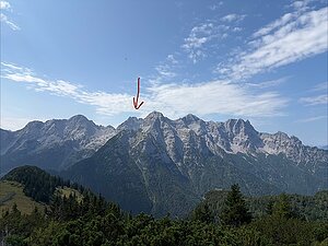
Jauzkopf | 2492 m a.s.l. | Leoganger Steinberge | 21 m | hlavní vrchol |
|
Kreuzreifhorn | 2465 m a.s.l. | Loferer Steinberge | 10 m | vedlejší vrchol |

|
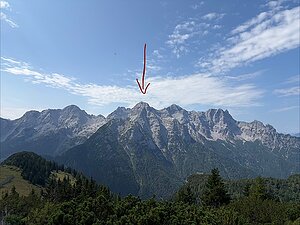
Scharleithörner | 2461 m a.s.l. | Leoganger Steinberge | 45 m | hlavní vrchol |
|
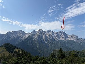
Breithorn | 2413 m a.s.l. | Loferer Steinberge | 108 m | hlavní vrchol |
|
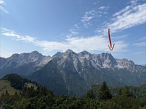
Großes Rothorn | 2409 m a.s.l. | Loferer Steinberge | 101 m | hlavní vrchol |
|
Rothörndl | 2395 m a.s.l. | Loferer Steinberge | 61 m | hlavní vrchol |

|
Dürrkarhorn | 2286 m a.s.l. | Leoganger Steinberge | 81 m | hlavní vrchol |

|
Hochzint | 2246 m a.s.l. | Leoganger Steinberge | 60 m | hlavní vrchol |

|
Mitterhorn | 2204 m a.s.l. | Leoganger Steinberge | 194 m | hlavní vrchol |

|
Schaflegg | 2176 m a.s.l. | Loferer Steinberge | 21 m | hlavní vrchol |
|
|
Seehorn | 2155 m a.s.l. | Loferer Steinberge | 40 m | hlavní vrchol |
|
|
Fahnenköpfl | 2142 m a.s.l. | Leoganger Steinberge | 24 m | hlavní vrchol |

|
Metzhorn | 2135 m a.s.l. | Leoganger Steinberge | 20 m | hlavní vrchol |

|
Heimkehrerkreuz | 2030 m a.s.l. | Loferer Steinberge | 4 m | spočinek/ostatní |
|
|
Brunnkopf | 1799 m a.s.l. | Loferer Steinberge | 44 m | hlavní vrchol |
|
|
Hochsäul | 1757 m a.s.l. | Loferer Steinberge | 245 m | hlavní vrchol |

|
Geierkogel | 1753 m a.s.l. | Loferer Steinberge | 189 m | hlavní vrchol |
|
|
Kirchl | 1691 m a.s.l. | Loferer Steinberge | 70 m | hlavní vrchol |
|
|
Wallerberg | 1682 m a.s.l. | Loferer Steinberge | 822 m | hlavní vrchol |
|
|
Kirchberg | 1678 m a.s.l. | Loferer Steinberge | 179 m | hlavní vrchol |
|
|
Gerstberg | 1661 m a.s.l. | Loferer Steinberge | 127 m | hlavní vrchol |
|
|
Kalkstein (Baumooskogel) | 1506 m a.s.l. | Loferer Steinberge | 170 m | hlavní vrchol |
|
|
Hochgründberg | 1495 m a.s.l. | Loferer Steinberge | 159 m | hlavní vrchol |

|
Buchensteinwand | 1462 m a.s.l. | Loferer Steinberge | 504 m | hlavní vrchol |