Rothörndl (2395 m a.s.l., Loferer Steinberge)
Register and log summit
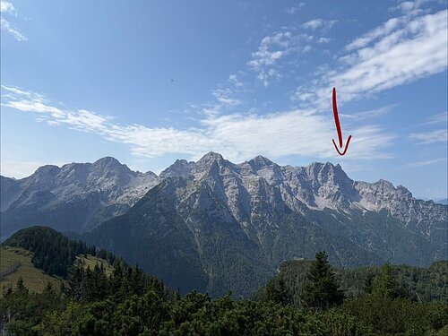

About peak Rothörndl
 Rakousko
Vrchol Rothörndl was added here by Jan Blažej and info was completed by Jan Blažej a Horymír.
Help others and .
- Chalet/accommodation
-
There is no chalet on the peak.
- Stroller access
-
Peak is not stroller accessible.
- Views
-
There are views from the peak.
- Cable car
-
There is no cable car to this peak.
- Equipment
-
a secured route via ferrata C on one side, and a normal path on the other side
- Accessibility
-
Peak is freely accessible.
Nearest peaks: Großes Rothorn (2409 m, 0.3 km) Schaflegg (2176 m, 0.6 km) Seehorn (2155 m, 1.1 km) Brunnkopf (1799 m, 1.2 km) Großes Hinterhorn (2506 m, 1.4 km)
Routes nearby
Routes provided by SvetOutdooru.cz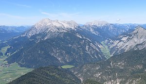
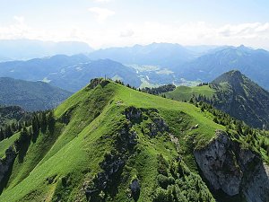
Webcams
(936 m a.s.l., 4.1 km)
 Gemeinde Waidring › North: Waidring - Steinplatte
( 4.6 km)
 Gemeinde Waidring › East: Waidring - Waidring - Steinplatte
(825 m a.s.l., 4.8 km)
 Gemeinde Waidring › South-East: Erlebnis-Hotel Tiroler Adler
(779 m a.s.l., 4.8 km)
 Lofer: Blankenkaser - Almenwelt
(1679 m a.s.l., 6.3 km)
 Lofer: Loferer Alp Soderkaser - Loferer Alm Soderkaser
(1628 m a.s.l., 6.3 km)
 Gemeinde St. Ulrich am Pillersee: Panoramakamera Pillersee
(859 m a.s.l., 6.4 km)
 Gemeinde St. Ulrich am Pillersee: Pillersee - Bergbahn-Talstation
( 6.4 km)
 Gemeinde St. Ulrich am Pillersee: Pillerseetal - Jakobskreuz
(859 m a.s.l., 6.4 km)
 Gemeinde Unken: Waidring - Steinplatte Plattenkogel
( 6.5 km)
 Lofer: Loferer Alp Ski run - Loferer Alm Höhenloipe
(1385 m a.s.l., 6.8 km)
 Gemeinde Waidring: Waidring, Steinplatte - Snowpark Steinplatte
( 7 km)
 Gemeinde Sankt Martin bei Lofer: Skigebiet Lofer
(1367 m a.s.l., 7.1 km)
 Lofer: Skigebiet
( 7.1 km)
 Gemeinde Waidring: Waidring, Steinplatte - Kammerkör
( 7.1 km)
 Gemeinde Sankt Martin bei Lofer: Kidland Loferer Alp - Kinderland Loferer Alm
(1432 m a.s.l., 7.3 km)
 Lofer: Loferer Alpview - Loferer Almblick
(1432 m a.s.l., 7.3 km)
 Gemeinde Sankt Martin bei Lofer: Loferer Stonemountain - Loferer Steinberge
(1432 m a.s.l., 7.3 km)
 Gemeinde St. Jakob in Haus: Sankt Jakob in Haus
(850 m a.s.l., 7.5 km)

Sun
| today | tomorrow | day after tomorrow | |
|---|---|---|---|
| Dawn: | 6:14 | 6:15 | 6:17 |
| Sunrise: | 6:45 | 6:47 | 6:48 |
| Sunset: | 17:00 | 16:59 | 16:57 |
| Dusk: | 17:32 | 17:30 | 17:29 |