Kreuzeck
| Highest peak | Mölltaler Polinik (2784 m a.s.l.) |
|---|---|
| Most prominent peak | Mölltaler Polinik (2784 m a.s.l., prominence 1579 m) |
| Parent unit | Vysoké Taury |
| Main peaks | Total 38 |
| Most popular peaks | Mölltaler Polinik (2784 m a.s.l.), Koppen (2158 m a.s.l.), Polinik SZ (2782 m a.s.l.), Ebeneck (2131 m a.s.l.), Kleiner Salzkofel (2222 m a.s.l.) |
| Mountain range challenges | King of the Kreuzeck Mountains, TOP 10 Austria, Ultraprominent Europe, Ultraprominentní Rakousko |

| Name | Elevation | ||||
|---|---|---|---|---|---|

|
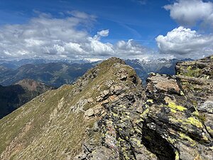
Mölltaler Polinik | 2784 m a.s.l. | Kreuzeck | 1579 m | hlavní vrchol |
|
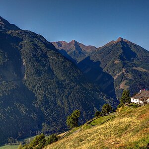
Polinik SZ | 2782 m a.s.l. | Kreuzeck | 8 m | vedlejší vrchol |
|
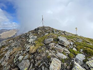
Striedenkopf | 2749 m a.s.l. | Kreuzeck | 283 m | hlavní vrchol |
|
Hochkreuz | 2709 m a.s.l. | Kreuzeck | 294 m | hlavní vrchol |

|
Kreuzeck | 2701 m a.s.l. | Kreuzeck | 272 m | hlavní vrchol |

|
Scharnik | 2657 m a.s.l. | Kreuzeck | 213 m | hlavní vrchol |
|
|
Kreuzlhöhe | 2624 m a.s.l. | Kreuzeck | 69 m | hlavní vrchol |

|
Kleines Hochkreuz | 2611 m a.s.l. | Kreuzeck | 36 m | hlavní vrchol |

|
Hochleitenkopf | 2581 m a.s.l. | Kreuzeck | 26 m | hlavní vrchol |

|
Sandfeldkopf | 2557 m a.s.l. | Kreuzeck | 181 m | hlavní vrchol |
|
|
Grakofel | 2551 m a.s.l. | Kreuzeck | 237 m | hlavní vrchol |

|
Hochtristen | 2536 m a.s.l. | Kreuzeck | 169 m | hlavní vrchol |
|
|
Stawipfel | 2514 m a.s.l. | Kreuzeck | 89 m | hlavní vrchol |
|
|
Annaruhe | 2508 m a.s.l. | Kreuzeck | 36 m | hlavní vrchol |

|
Salzkofel | 2498 m a.s.l. | Kreuzeck | 233 m | hlavní vrchol |
|
|
Roter Beil | 2497 m a.s.l. | Kreuzeck | 32 m | hlavní vrchol |
|
|
Zietenkopf | 2483 m a.s.l. | Kreuzeck | 215 m | hlavní vrchol |
|
|
Taubichl | 2462 m a.s.l. | Kreuzeck | 57 m | hlavní vrchol |

|
Damerkopf | 2441 m a.s.l. | Kreuzeck | 122 m | hlavní vrchol |

|
Dachskopef | 2373 m a.s.l. | Kreuzeck | 10 m | vedlejší vrchol |

|
Happlköfel | 2348 m a.s.l. | Kreuzeck | 13 m | vedlejší vrchol |
|
|
Putzen | 2330 m a.s.l. | Kreuzeck | 140 m | hlavní vrchol |
|
|
Loneskopf | 2316 m a.s.l. | Kreuzeck | 60 m | hlavní vrchol |
|
|
Mokarspitz | 2305 m a.s.l. | Kreuzeck | 80 m | hlavní vrchol |
|
|
Lenkenspitz | 2298 m a.s.l. | Kreuzeck | 105 m | hlavní vrchol |
|
|
Stagor | 2289 m a.s.l. | Kreuzeck | 157 m | hlavní vrchol |
|
|
Speikbichl | 2285 m a.s.l. | Kreuzeck | 50 m | hlavní vrchol |
|
|
Dachskopfel | 2272 m a.s.l. | Kreuzeck | 37 m | hlavní vrchol |
|
|
Schwarzstein | 2264 m a.s.l. | Kreuzeck | 19 m | hlavní vrchol |
|
|
Moscheggstand | 2243 m a.s.l. | Kreuzeck | 108 m | hlavní vrchol |

|
Naßfeldriegel | 2238 m a.s.l. | Kreuzeck | 68 m | hlavní vrchol |
|
|
Karlhöhe | 2232 m a.s.l. | Kreuzeck | 37 m | hlavní vrchol |
|
|
Kleiner Stawipfel | 2223 m a.s.l. | Kreuzeck | 18 m | hlavní vrchol |

|
Kleiner Salzkofel | 2222 m a.s.l. | Kreuzeck | 30 m | hlavní vrchol |
|
|
Knoten | 2214 m a.s.l. | Kreuzeck | 142 m | hlavní vrchol |
|
|
Gaugen | 2195 m a.s.l. | Kreuzeck | 125 m | hlavní vrchol |
|
|
Dolzer | 2172 m a.s.l. | Kreuzeck | 37 m | hlavní vrchol |
|
|
Platteckspitz | 2170 m a.s.l. | Kreuzeck | 35 m | hlavní vrchol |

|
Koppen | 2158 m a.s.l. | Kreuzeck | 23 m | hlavní vrchol |
|
|
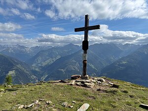
Falkkogel | 2157 m a.s.l. | Kreuzeck | 12 m | vedlejší vrchol |
|
Ebeneck | 2131 m a.s.l. | Kreuzeck | 1 m | významný bod |
|
|
Hoher Stand | 2086 m a.s.l. | Kreuzeck | 34 m | hlavní vrchol |
|
|
Ederplan | 2062 m a.s.l. | Kreuzeck | 27 m | hlavní vrchol |