

Hiking, 35 km
11.11.2025
 Česko
Prachatice (Jihočeský kraj)
Logged on Vrcholovka 70x in total. Významný bod Bučina was added here by Pája and info was completed by Martin Matějka a Alexandr Starý.
Bučina is part of challenge: Via Czechia Southern Trail
This is not a peak; the point was created for the Via Czechia challenge.
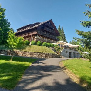
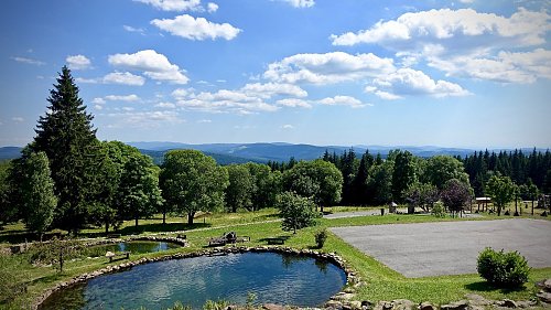
There is a chalet on the peak.
This peak is accessible with a stroller.
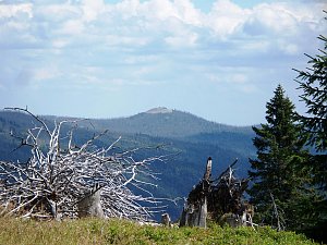
There are views from the peak.
There is no cable car to this peak.
No special equipment is required for this summit.
Peak is freely accessible.
Nearest peaks: Nad Bučinou JV (1173 m, 0.5 km) Nad Bučinou (1219 m, 0.6 km) Buchmühlkopf (1122 m, 0.7 km) Stráž (1308 m, 1.4 km) Stráž JZ (1263 m, 1.4 km) Table Mountain SW (1233 m, 1.4 km) Siebensteinkopf (1263 m, 1.5 km) Holý vrch (1294 m, 1.8 km) Table Mountain (1256 m, 1.8 km) Chaloupky (1023 m, 2 km) Knížecí pláně - U kostela (1026 m, 2.3 km) Sandberg (1082 m, 2.3 km) Streuberg (1034 m, 2.3 km) Vysoký stolec (1252 m, 2.3 km) Knížecí pláně (1025 m, 2.5 km) Finsterauer Filz (1065 m, 2.7 km) Vysoký stolec JV (1173 m, 2.7 km) Wistlberg (1072 m, 3.3 km) Holý vrch SZ (1173 m, 3.4 km) Reifenspitz (1044 m, 3.6 km) Ederplattn (1065 m, 3.7 km)
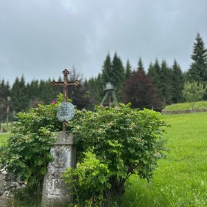
 Kvilda: Obec - Chalupa Ve Stráni
 Kvilda
 Kvilda: I, POI 1
 Kvilda: Horská
 Kvilda
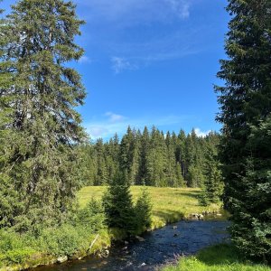
 Kvilda: Jezerní potok (pohled směr Horská)

| today | tomorrow | day after tomorrow | |
|---|---|---|---|
| Dawn: | 7:06 | 7:07 | 6:09 |
| Sunrise: | 7:38 | 7:40 | 6:41 |
| Sunset: | 18:01 | 17:59 | 16:57 |
| Dusk: | 18:33 | 18:31 | 17:30 |