
Hiking, 53 km
22.8.2026
 Německo
Logged on Vrcholovka 34x in total. Vrchol Siebensteinkopf was added here by Michal and info was completed by Martin Matějka a Krtek.
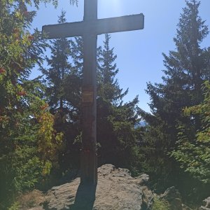
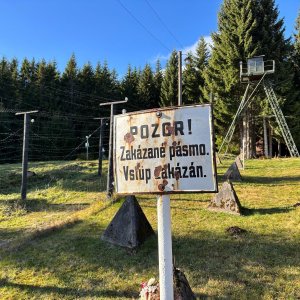
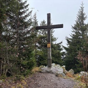
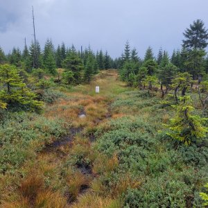
Siebensteinkopf is a mountain on the southeastern edge of the Bavarian Forest National Park in the German part of Šumava. It is located in the state of Bavaria, about 1.5 kilometers from the abandoned village of Bučina, less than one kilometer west of the Czech-German border (border crossing Bučina).
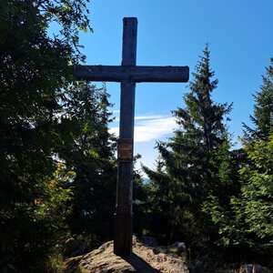
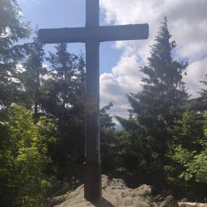
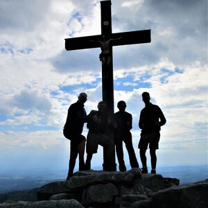
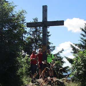
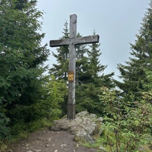
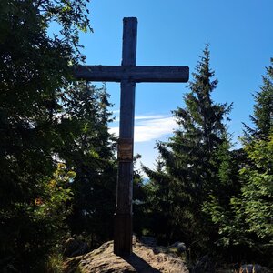
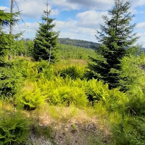
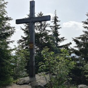
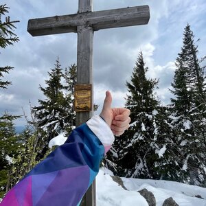
The highest point is a rock near the cross. There are views along the way to the summit, but practically none from the top.
There is no chalet on the peak.
Peak is not stroller accessible.
There are views from the peak.
There is no cable car to this peak.
No special equipment is required for this summit.
Peak is freely accessible.
Nearest peaks: Stráž JZ (1263 m, 0.6 km) Buchmühlkopf (1122 m, 1.1 km) Stráž (1308 m, 1.3 km) Sandberg (1082 m, 1.5 km) Nad Bučinou (1219 m, 1.7 km) Holý vrch (1294 m, 1.8 km) Finsterauer Filz (1065 m, 2 km) Nad Bučinou JV (1173 m, 2 km) Streuberg (1034 m, 2 km) Table Mountain SW (1233 m, 2.3 km) Černá hora (1316 m, 2.4 km) Wistlberg (1072 m, 2.4 km) Chaloupky (1023 m, 2.5 km) Table Mountain (1256 m, 2.8 km) Ederplattn (1065 m, 2.9 km) Holý vrch SZ (1173 m, 3 km) Reuten (1027 m, 3.5 km)
 Kvilda: Obec - Chalupa Ve Stráni
 Kvilda
 Kvilda: I, POI 1
 Kvilda: Horská
 Kvilda
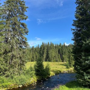
 Kvilda: Jezerní potok (pohled směr Horská)

| today | tomorrow | day after tomorrow | |
|---|---|---|---|
| Dawn: | 7:04 | 7:06 | 7:07 |
| Sunrise: | 7:37 | 7:38 | 7:40 |
| Sunset: | 18:03 | 18:01 | 17:59 |
| Dusk: | 18:35 | 18:33 | 18:31 |